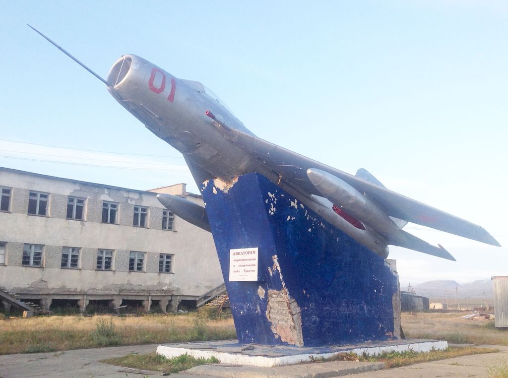
Ugolnye Kopi (Russian: У́гольные Ко́пи, lit. coal mines) is an urban locality (an urban-type settlement) in Anadyrsky District of Chukotka Autonomous Okrug, Russia, located east of Anadyr, the administrative center of the autonomous okrug, on the opposite side of the Anadyr River. It served as the administrative center of Anadyrsky District until June 2011. Population: 3,368 (2010 Russian census); 3,863 (2002 Census); 12,357 (1989 Soviet census), with an estimated population as of 1 January 2015 of 3,666. It is a mainly mining town that also hosts the region's main airport.
We use GPS information embedded into the photo when it is available.
3D mountains overlay
Adjust mountain panorama to perfectly match your photos because recorded by camera photo position might be imprecise.
Move tool
Rotate tool
Zoom
More customization
Choose which peak labels should make into the final photo and what photo title should be.
Next
Photo Location
Satellitte
Flat map
Relief map
Latitude
Longitude
Altitude
OR
Latitude
°'''
Longitude
°'''
Apply
Register Peak
Peak Name
Latitude
Longitude
Altitude
Register
Teleport
PeakVisor
This 3D model of Sagarmatha National Park in Nepal was made using the PeakVisor app topographic data. The mobile app features higher precision models worldwide, more topographic details, and works offline. Download PeakVisor maps today.
Download OBJ model
PeakVisor
The download should start shortly. If you find it useful please consider supporting the PeakVisor app.
PeakVisor for iOS and Android
Be a superhero of outdoor navigation with state-of-the-art 3D maps and mountain identification in the palm of your hand!