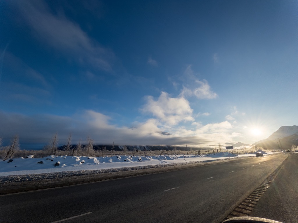
Turnagain Pass (el. 900 feet (274 m)) is a mountain pass just south of the municipal limits of Anchorage, Alaska. It is located in the northeastern part of Kenai Peninsula Borough. The pass marks the highest point on the Seward Highway at approximately milepost 70. Traveling north, the Seward Highway descends to skirt the edge of Turnagain Arm. The pass is a popular winter recreation area for skiers, snowshoers, and snowmobilers. The designated recreation area is located within the Chugach National Forest, which maintains the Chugach National Forest Avalanche Information Center, whose forecasting area is centered on Turnagain Pass.
We use GPS information embedded into the photo when it is available.
3D mountains overlay
Adjust mountain panorama to perfectly match your photos because recorded by camera photo position might be imprecise.
Move tool
Rotate tool
Zoom
More customization
Choose which peak labels should make into the final photo and what photo title should be.
Next
Photo Location
Satellitte
Flat map
Relief map
Latitude
Longitude
Altitude
OR
Latitude
°'''
Longitude
°'''
Apply
Register Peak
Peak Name
Latitude
Longitude
Altitude
Register
Teleport
PeakVisor
This 3D model of Sagarmatha National Park in Nepal was made using the PeakVisor app topographic data. The mobile app features higher precision models worldwide, more topographic details, and works offline. Download PeakVisor maps today.
Download OBJ model
PeakVisor
The download should start shortly. If you find it useful please consider supporting the PeakVisor app.
PeakVisor for iOS and Android
Be a superhero of outdoor navigation with state-of-the-art 3D maps and mountain identification in the palm of your hand!