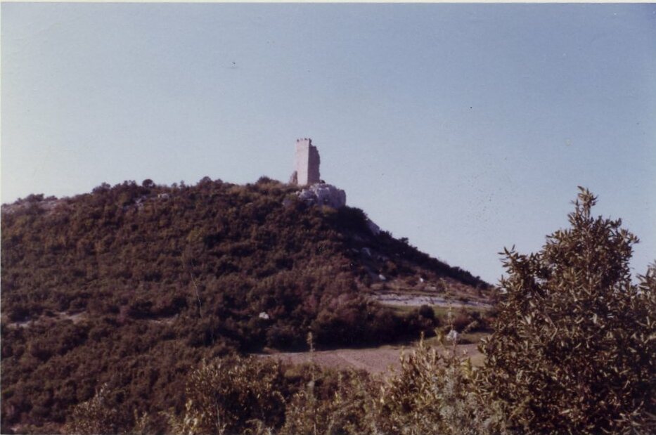
Brovinje Italian: Brovigne is a small settlement/hamlet, in Istria County in Croatia, with a little more than 50 houses in 1950. It is located in the Labinština peninsula of Istria County, Croatia. Overlooking the Gulf of Kvarner in the northern Adriatic Sea including the island of Croatian: Cres, Italian: Cherso. It is located 13 km south-east of Labin and 3 km north of Koromačno/Valmazzinghi. The first written record with the name Brovinje is recorded in the old St. Lucia church books on birth, marriages and deaths in 1705 which are held in Pazin, Istria. Brovinje is a hamlet which is under the Raša municipality.
We use GPS information embedded into the photo when it is available.
3D mountains overlay
Adjust mountain panorama to perfectly match your photos because recorded by camera photo position might be imprecise.
Move tool
Rotate tool
Zoom
More customization
Choose which peak labels should make into the final photo and what photo title should be.
Next
Photo Location
Satellitte
Flat map
Relief map
Latitude
Longitude
Altitude
OR
Latitude
°'''
Longitude
°'''
Apply
Register Peak
Peak Name
Latitude
Longitude
Altitude
Register
Teleport
PeakVisor
This 3D model of Sagarmatha National Park in Nepal was made using the PeakVisor app topographic data. The mobile app features higher precision models worldwide, more topographic details, and works offline. Download PeakVisor maps today.
Download OBJ model
PeakVisor
The download should start shortly. If you find it useful please consider supporting the PeakVisor app.
PeakVisor for iOS and Android
Be a superhero of outdoor navigation with state-of-the-art 3D maps and mountain identification in the palm of your hand!