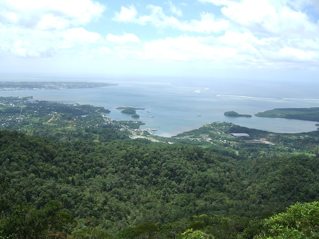
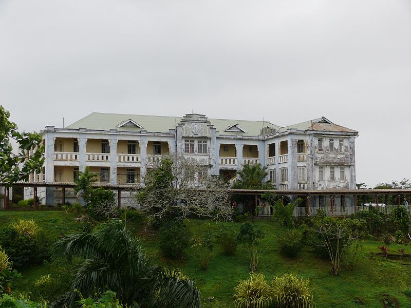
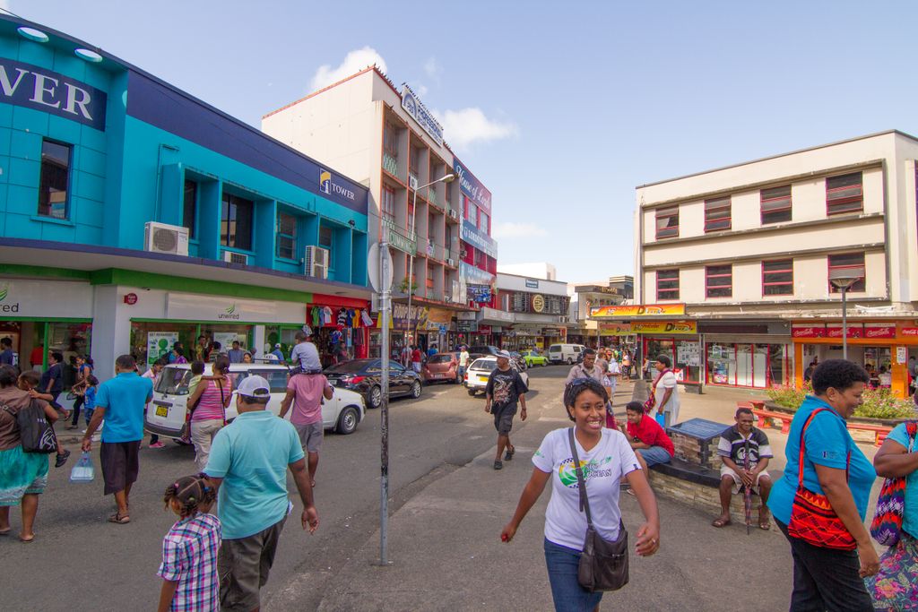
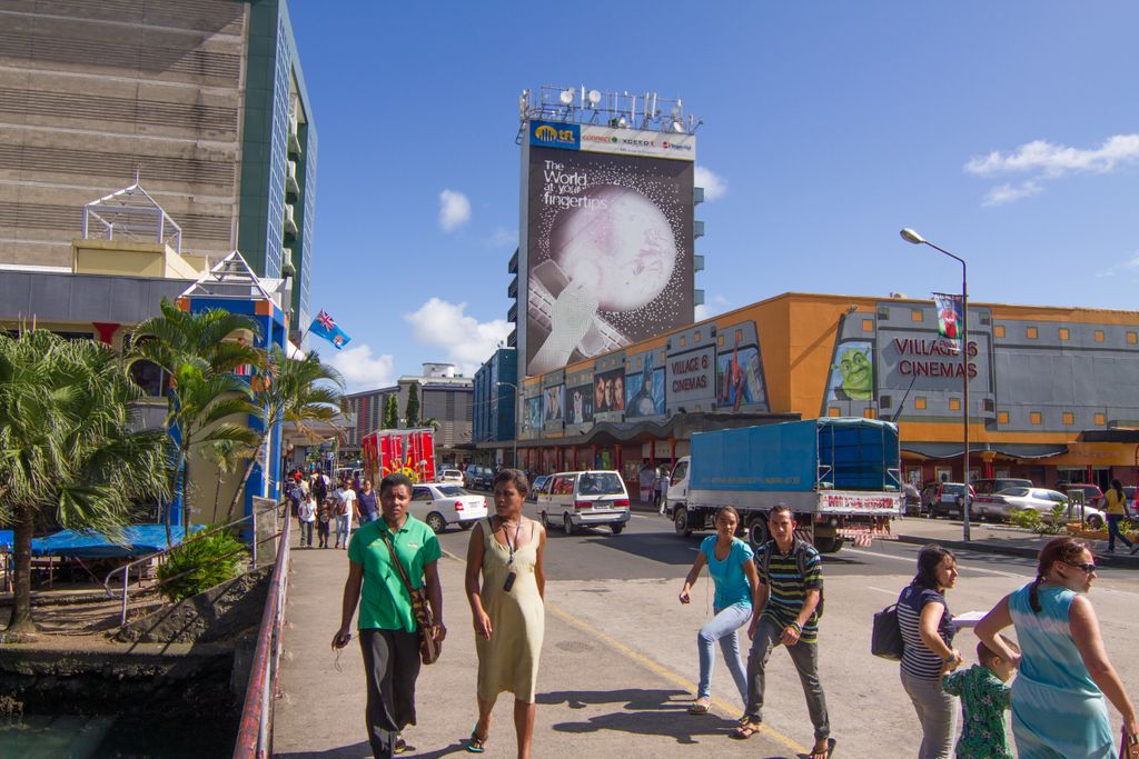
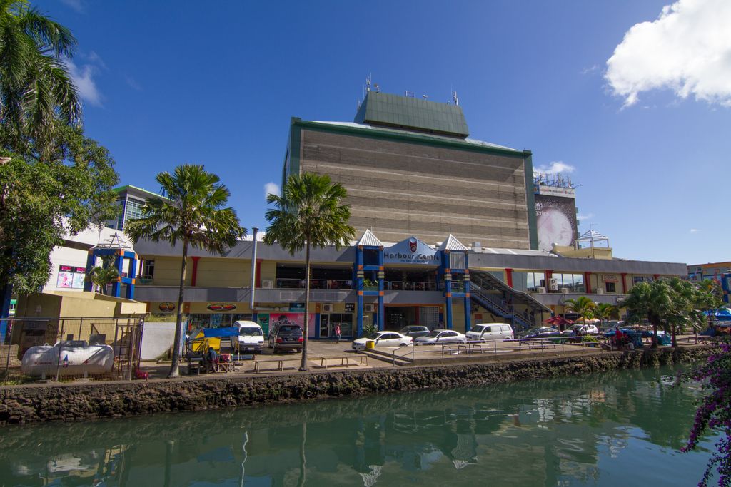
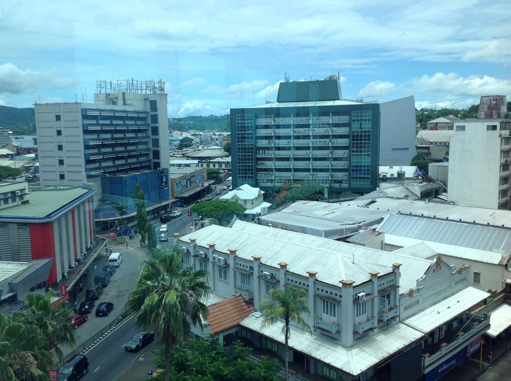
Suva (Fijian pronunciation: [ˈsuβa]; Fiji Hindi: सुवा) is the capital and largest city of Fiji. It is the home of the country's largest metropolitan area and serves as its major port. The city is located on the southeast coast of the island of Viti Levu, in Rewa Province, Central Division. In 1877, the capital of Fiji was moved to Suva from Levuka, the main European colonial settlement at the time, due to its restrictive geography and environs. The administration of the colony was transferred from Levuka to Suva in 1882. As of the 2017 census, the city of Suva had a population of 93,970, and Suva's metropolitan area, which includes its independent suburbs, had a population of 185,913. The combined urban population of Suva and the towns of Lami, Nasinu, and Nausori that border it was around 330,000: over a third of the nation's population. (This urban complex, excluding Lami, is also known as the Suva-Nausori corridor.) Suva is the political, economic, and cultural centre of Fiji. It is also the economic and cultural capital of the South Pacific, hosting the majority of the regional headquarters of major international corporations, international agencies, and diplomatic missions. The city also has a thriving arts and performance scene, and a growing reputation as the region's fashion capital.
Show more
Sun and Moon
Mon
Tue
Wed
Thu
Fri
Sat
Sun
May 2022
Date and time
00:00
06:00
12:00
18:00
Today
--
--
Sunrise
--
Sunset
--
Moonrise
--
Moonset
Phase
🌔 Waxing Gibbous
The perfect light time for beautiful photos:
--
Sunrise
--
Sunset
PeakVisor app
Get the app on your smartphone
New Panorama Tools
Trace location on the map
Measure distances
All the instruments are available in the context menu as well.
We use GPS information embedded into the photo when it is available.
3D mountains overlay
Adjust mountain panorama to perfectly match your photos because recorded by camera photo position might be imprecise.
Move tool
Rotate tool
Zoom
More customization
Choose which peak labels should make into the final photo and what photo title should be.
Next
Photo Location
Satellitte
Flat map
Relief map
Latitude
Longitude
Altitude
OR
Latitude
°'''
Longitude
°'''
Apply
Register Peak
Peak Name
Latitude
Longitude
Altitude
Register
Teleport
PeakVisor
This 3D model of Sagarmatha National Park in Nepal was made using the PeakVisor app topographic data. The mobile app features higher precision models worldwide, more topographic details, and works offline. Download PeakVisor maps today.
Download OBJ model
PeakVisor
The download should start shortly. If you find it useful please consider supporting the PeakVisor app.
PeakVisor for iOS and Android
Be a superhero of outdoor navigation with state-of-the-art 3D maps and mountain identification in the palm of your hand!