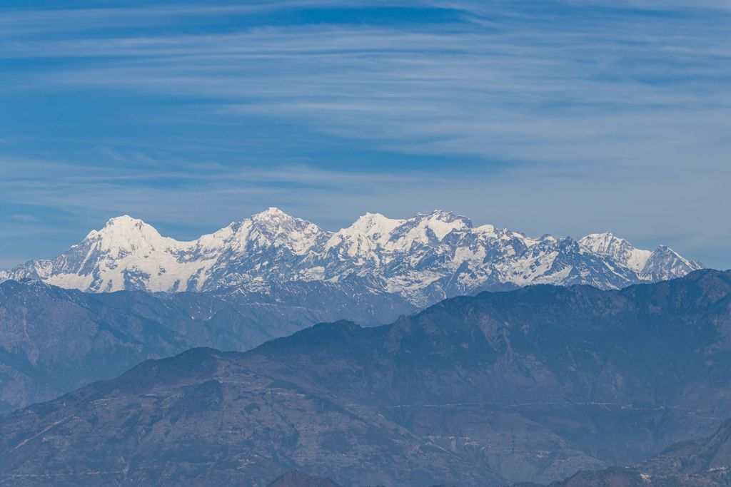
Suryachaur is a Hill station to see the Langtang Himalayan Range as well as entire Likhu Valley of Nuwakot District in Bagmati Province of central Nepal. Surya chaur is a Nice view point of the chain of Mountain range like Mt Manaslu 8153 meter, Ganesh Himal, Mt Langtang Lirung, Mt Dorje Lhakpa and holy Gaurishankar. This is one of the easiest hiking areas near Kathmandu. You will cross the old and cultural city Tokha while you go to hike there by your vehicle. You need to pay the fees for National park because this lies in Shivapuri Nagarjun National Park in check post. You can either take your vehicle which is quite comfortable but they charge for vehicle entry fee or go by Hike. Most of the people from Kathmandu go there to enjoy nature and take a rest. There is a primary school and small village, if you go there in the May you can taste the yellow berry. This place is very near to Gurje Bhanjyang.
We use GPS information embedded into the photo when it is available.
3D mountains overlay
Adjust mountain panorama to perfectly match your photos because recorded by camera photo position might be imprecise.
Move tool
Rotate tool
Zoom
More customization
Choose which peak labels should make into the final photo and what photo title should be.
Next
Photo Location
Satellitte
Flat map
Relief map
Latitude
Longitude
Altitude
OR
Latitude
°'''
Longitude
°'''
Apply
Register Peak
Peak Name
Latitude
Longitude
Altitude
Register
Teleport
PeakVisor
This 3D model of Sagarmatha National Park in Nepal was made using the PeakVisor app topographic data. The mobile app features higher precision models worldwide, more topographic details, and works offline. Download PeakVisor maps today.
Download OBJ model
PeakVisor
The download should start shortly. If you find it useful please consider supporting the PeakVisor app.
PeakVisor for iOS and Android
Be a superhero of outdoor navigation with state-of-the-art 3D maps and mountain identification in the palm of your hand!