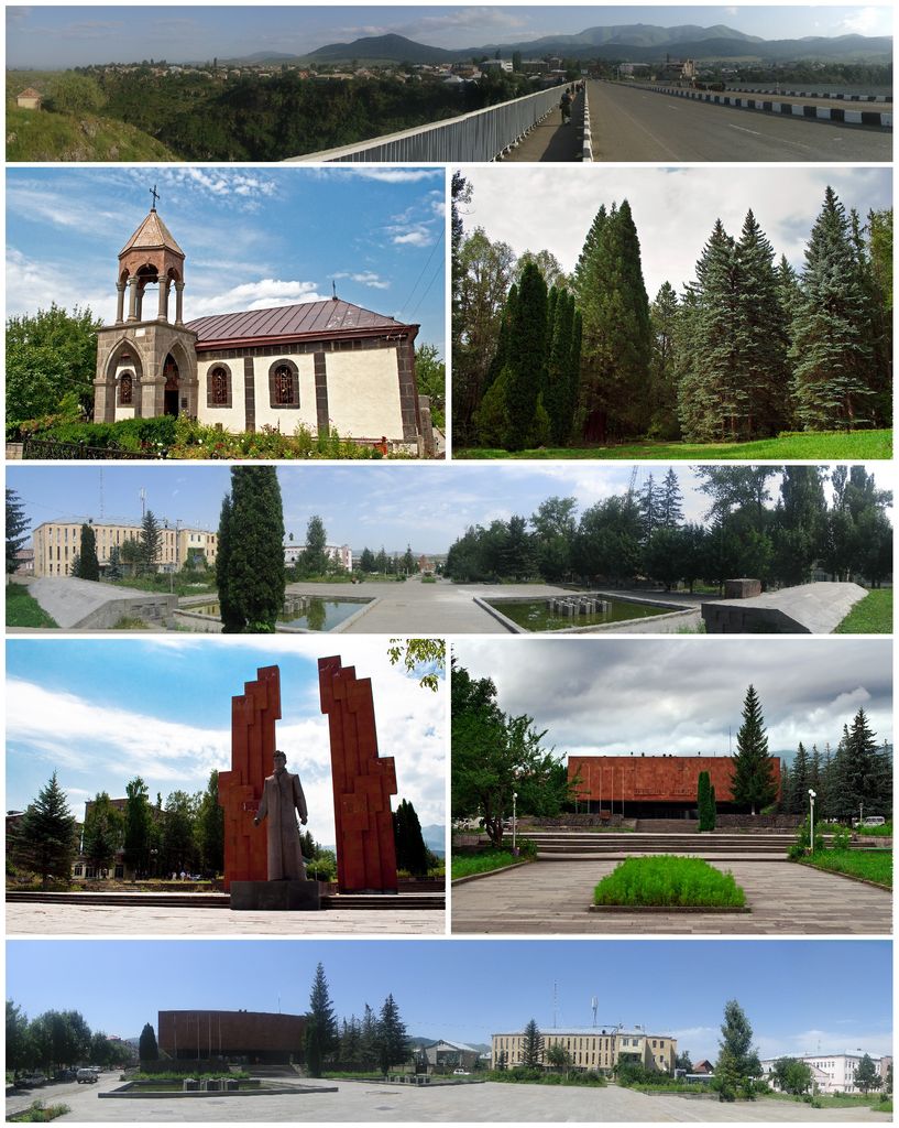
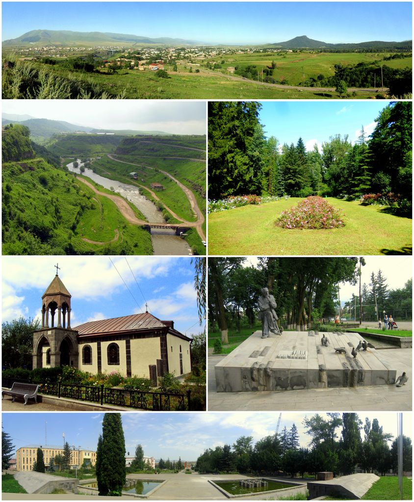
Stepanavan (Armenian: Ստեփանավան), is a town and municipal community in the Lori Province of Armenia. It is located 139 km north of the capital Yerevan and 24 km north of the provincial centre Vanadzor, halfway between Yerevan and Tbilisi. As of the 2011 census, the population of the town is 13,086. Currently, the town has an approximate population of 10,800 as per the 2016 official estimate. Due to its location on the shores of Dzoraget River among the forest of Lori plateau and Bazum mountains, Stepanavan is considered a resort town in northern Armenia.
We use GPS information embedded into the photo when it is available.
3D mountains overlay
Adjust mountain panorama to perfectly match your photos because recorded by camera photo position might be imprecise.
Move tool
Rotate tool
Zoom
More customization
Choose which peak labels should make into the final photo and what photo title should be.
Next
Photo Location
Satellitte
Flat map
Relief map
Latitude
Longitude
Altitude
OR
Latitude
°'''
Longitude
°'''
Apply
Register Peak
Peak Name
Latitude
Longitude
Altitude
Register
Teleport
PeakVisor
This 3D model of Sagarmatha National Park in Nepal was made using the PeakVisor app topographic data. The mobile app features higher precision models worldwide, more topographic details, and works offline. Download PeakVisor maps today.
Download OBJ model
PeakVisor
The download should start shortly. If you find it useful please consider supporting the PeakVisor app.
PeakVisor for iOS and Android
Be a superhero of outdoor navigation with state-of-the-art 3D maps and mountain identification in the palm of your hand!