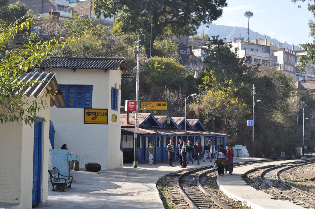
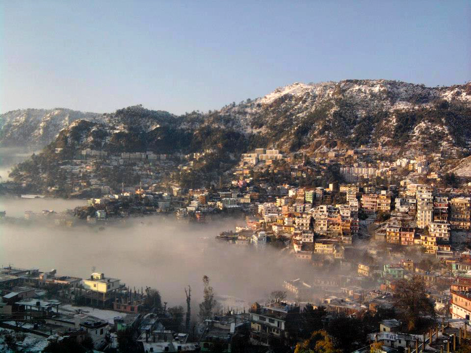
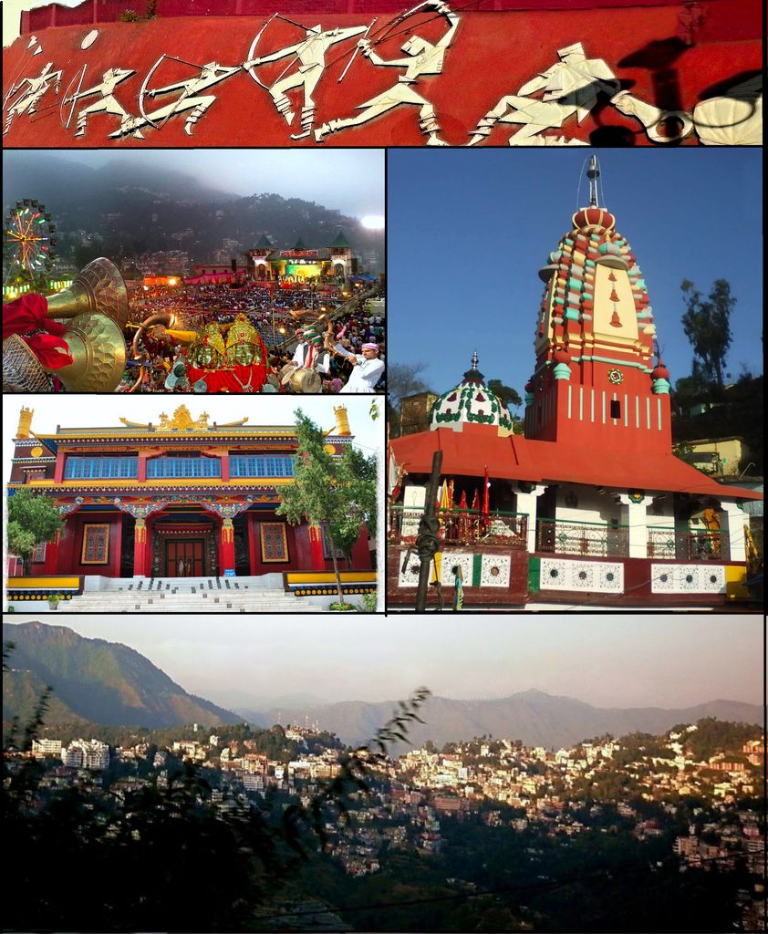
Solan is a city in the Indian state of Himachal Pradesh and the district headquarters of Solan district. It is located 45.5 kilometres (28 mi) south of the state capital, Shimla. Solan has an average elevation of 1,550 metres (5,090 ft). The city is situated between Chandigarh (joint capital of Punjab and Haryana) and Shimla (state capital) on the Kalka-Shimla National Highway-5. The narrow-gauge Kalka-Shimla railway passes through Solan. Located on the Punjab-Himachal Border, Solan is nestled in the Shivalik hills of the Himalayas. Solan was originally the capital of the princely state, Baghat. A defining feature of Solan, is its ancient temples and monasteries. The Shoolini Mata Temple and Jatoli Shiv Temple are popular attractions for tourists. One of the most famous monasteries in this region is the Yundung Monastery. The hill-town is named after the Hindu goddess Shoolini Devi ~ who is a manifestation of Goddess Durga in Her warrior aspect. Shoolini, when translated literally, means 'the goddess wielding the spear'. Every year in June, a fair venerating the Goddess is held, featuring a 3-day melā at the central Thodo ground. Solan is known for the production of quality mushrooms, as a result of the vast mushroom farming in the area, as well as the Directorate of Mushroom Research (DMR) situated at Chambaghat. Due to this fact, Solan is also known as the "Mushroom City of India". Solan is also called the "City of Red Gold", due to the bulk production of tomatoes in the area. The city has one of the oldest breweries in the country, and also has a 300-year-old fort located at the top of a hill.
We use GPS information embedded into the photo when it is available.
3D mountains overlay
Adjust mountain panorama to perfectly match your photos because recorded by camera photo position might be imprecise.
Move tool
Rotate tool
Zoom
More customization
Choose which peak labels should make into the final photo and what photo title should be.
Next
Photo Location
Satellitte
Flat map
Relief map
Latitude
Longitude
Altitude
OR
Latitude
°'''
Longitude
°'''
Apply
Register Peak
Peak Name
Latitude
Longitude
Altitude
Register
Teleport
PeakVisor
This 3D model of Sagarmatha National Park in Nepal was made using the PeakVisor app topographic data. The mobile app features higher precision models worldwide, more topographic details, and works offline. Download PeakVisor maps today.
Download OBJ model
PeakVisor
The download should start shortly. If you find it useful please consider supporting the PeakVisor app.
PeakVisor for iOS and Android
Be a superhero of outdoor navigation with state-of-the-art 3D maps and mountain identification in the palm of your hand!