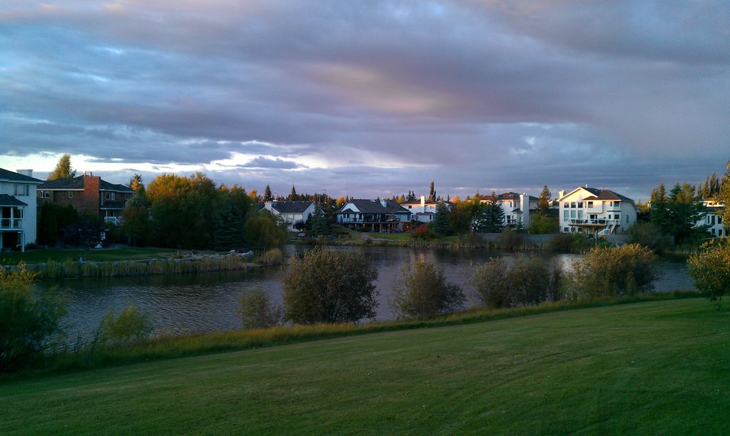
Sherwood Park is a large hamlet in Alberta, Canada within Strathcona County that is recognized as an urban service area. It is located on traditional Treaty 6 territory, and adjacent to the City of Edmonton's eastern boundary. While long confined to generally south of Highway 16 (Yellowhead Trail), west of Highway 21 and north of Highway 630 (Wye Road), portions of Sherwood Park have expanded beyond Yellowhead Trail and Wye Road since the start of the 21st century. Anthony Henday Drive (Highway 216) separates Refinery Row, in a portion of the Sherwood Park Urban Service Area to the west, from the residential and commercial hamlet to the east. Sherwood Park was established in 1955 on farmland of the Smeltzer family, east of Edmonton. With a population of 72,017 in 2021, Sherwood Park has enough people to be Alberta's sixth largest city, but it retains the status of a hamlet, though the Government of Alberta officially recognizes the Sherwood Park Urban Service Area as equivalent to a city.
Show more
Sun and Moon
Mon
Tue
Wed
Thu
Fri
Sat
Sun
May 2022
Date and time
00:00
06:00
12:00
18:00
Today
--
--
Sunrise
--
Sunset
--
Moonrise
--
Moonset
Phase
🌔 Waxing Gibbous
The perfect light time for beautiful photos:
--
Sunrise
--
Sunset
PeakVisor app
Get the app on your smartphone
New Panorama Tools
Trace location on the map
Measure distances
All the instruments are available in the context menu as well.
We use GPS information embedded into the photo when it is available.
3D mountains overlay
Adjust mountain panorama to perfectly match your photos because recorded by camera photo position might be imprecise.
Move tool
Rotate tool
Zoom
More customization
Choose which peak labels should make into the final photo and what photo title should be.
Next
Photo Location
Satellitte
Flat map
Relief map
Latitude
Longitude
Altitude
OR
Latitude
°'''
Longitude
°'''
Apply
Register Peak
Peak Name
Latitude
Longitude
Altitude
Register
Teleport
PeakVisor
This 3D model of Sagarmatha National Park in Nepal was made using the PeakVisor app topographic data. The mobile app features higher precision models worldwide, more topographic details, and works offline. Download PeakVisor maps today.
Download OBJ model
PeakVisor
The download should start shortly. If you find it useful please consider supporting the PeakVisor app.
PeakVisor for iOS and Android
Be a superhero of outdoor navigation with state-of-the-art 3D maps and mountain identification in the palm of your hand!