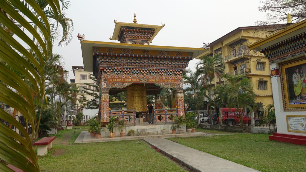
Samdrup Jongkhar (Dzongkha:བསམ་གྲུབ་ལྗོངས་མཁར་) is a town and seat of Samdrup Jongkhar District in Bhutan. The town is located at the south-eastern part of Bhutan and borders the Indian state of Assam. Though there is no clear historical record of the development of the town, it is said to have developed as a result of the construction of the Samdrup Jongkhar-Tashigang national highway in the 1960s. In the past the Sharchops of Tashigang, Dundsan, Orong and Yangtse used to trade in a small Indian border town in Assam called Gudama (current day Daranga or Darranga Mela, better known as Mela Bazar). Today it is one of the most important trading towns for the eastern districts of Bhutan. Near the border is Hanumaan Mandir in NK Darranga, a temple run by Hanumaan Mandir Charity in which there are both Bhutan and Indian people member. After 2003, due to insurgency problems, much of the business was halted, causing a ripple effect on the developmental and socio-economic life of the people of most of eastern Bhutan. Samdrup Jonkhar Dzongkhag has a mix of population largely dominated by the Sharchops and by Lhotshampas in Bangtar. It is also an important economic center of the country where coal mining is an important contribution to the country's economy.
We use GPS information embedded into the photo when it is available.
3D mountains overlay
Adjust mountain panorama to perfectly match your photos because recorded by camera photo position might be imprecise.
Move tool
Rotate tool
Zoom
More customization
Choose which peak labels should make into the final photo and what photo title should be.
Next
Photo Location
Satellitte
Flat map
Relief map
Latitude
Longitude
Altitude
OR
Latitude
°'''
Longitude
°'''
Apply
Register Peak
Peak Name
Latitude
Longitude
Altitude
Register
Teleport
PeakVisor
This 3D model of Sagarmatha National Park in Nepal was made using the PeakVisor app topographic data. The mobile app features higher precision models worldwide, more topographic details, and works offline. Download PeakVisor maps today.
Download OBJ model
PeakVisor
The download should start shortly. If you find it useful please consider supporting the PeakVisor app.
PeakVisor for iOS and Android
Be a superhero of outdoor navigation with state-of-the-art 3D maps and mountain identification in the palm of your hand!