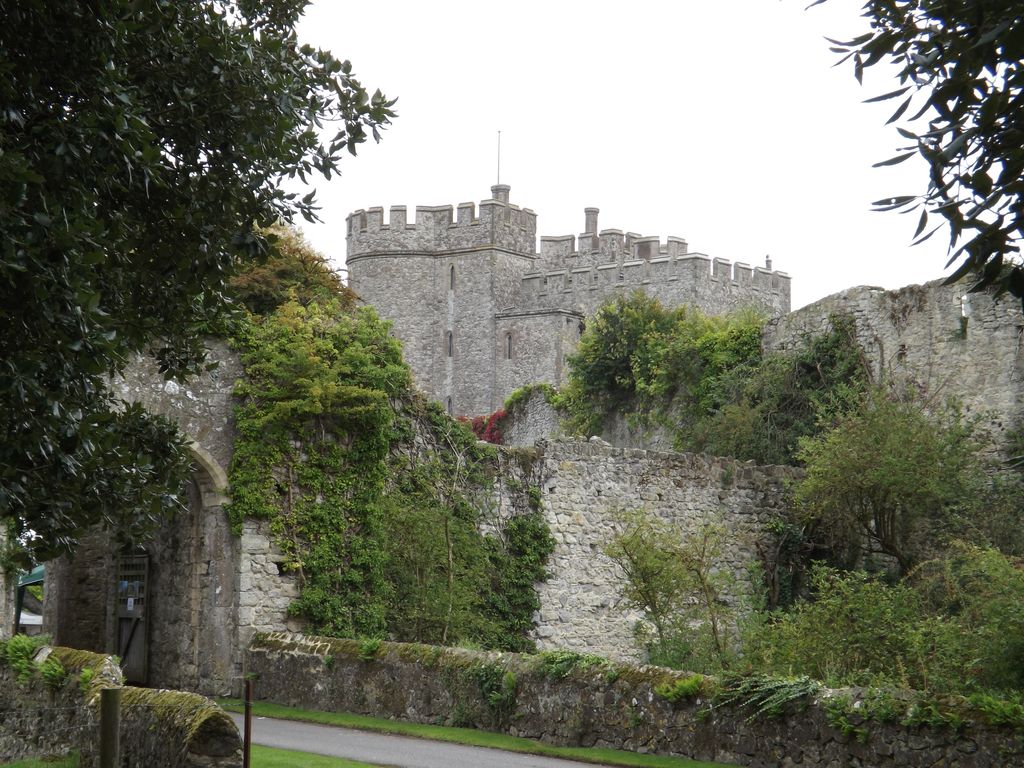
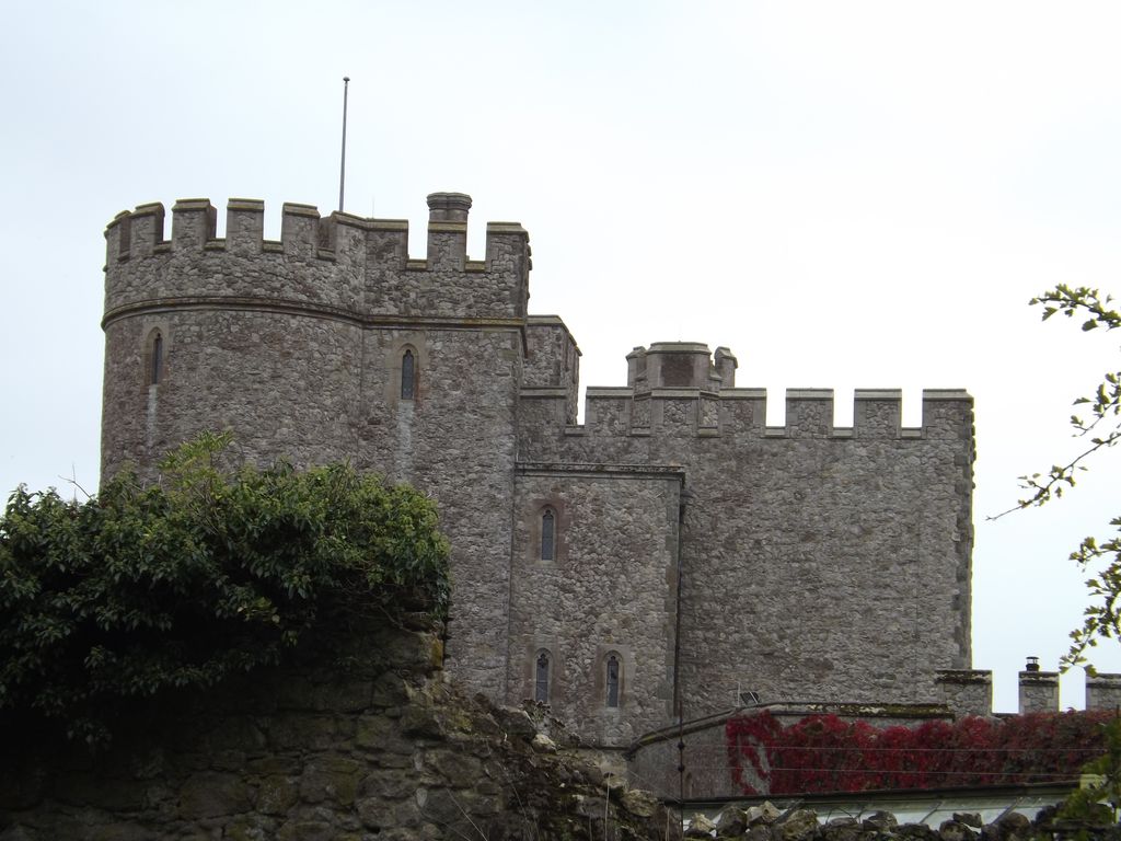
Saltwood Castle is a castle in Saltwood village, one mile (2 km) north of Hythe, Kent, England. Of 11th century origin, the castle was expanded in the 13th and 14th centuries. After the Norman Conquest, the castle was appropriated by the Archbishop of Canterbury Lanfranc and remained the property of the archbishops, with some interruptions, until 1540, when Thomas Cranmer was compelled to cede it to Henry VIII. The castle is reputed to have been the meeting place of the four knights who carried out the assassination of Thomas Becket in 1170. By the 19th century, it was "largely ruinous" and restorations to make portions of the castle habitable were carried out in the 1880s and 1930s. In the late 19th century, the castle was bought by an ancestor of Bill Deedes, the journalist and politician, who grew up there. In the 20th century, it was sold to Sir Martin Conway who commissioned Philip Tilden to undertake a restoration. In 1953, the castle was bought by the art historian Kenneth Clark (1903–1983), and then became the home of his son, the politician and diarist, Alan Clark (1928–1999). It remains the private home of his widow, Jane Clark. The castle is a Grade I listed building.
Show more
Sun and Moon
Mon
Tue
Wed
Thu
Fri
Sat
Sun
May 2022
Date and time
00:00
06:00
12:00
18:00
Today
--
--
Sunrise
--
Sunset
--
Moonrise
--
Moonset
Phase
🌔 Waxing Gibbous
The perfect light time for beautiful photos:
--
Sunrise
--
Sunset
PeakVisor app
Get the app on your smartphone
New Panorama Tools
Trace location on the map
Measure distances
All the instruments are available in the context menu as well.
We use GPS information embedded into the photo when it is available.
3D mountains overlay
Adjust mountain panorama to perfectly match your photos because recorded by camera photo position might be imprecise.
Move tool
Rotate tool
Zoom
More customization
Choose which peak labels should make into the final photo and what photo title should be.
Next
Photo Location
Satellitte
Flat map
Relief map
Latitude
Longitude
Altitude
OR
Latitude
°'''
Longitude
°'''
Apply
Register Peak
Peak Name
Latitude
Longitude
Altitude
Register
Teleport
PeakVisor
This 3D model of Sagarmatha National Park in Nepal was made using the PeakVisor app topographic data. The mobile app features higher precision models worldwide, more topographic details, and works offline. Download PeakVisor maps today.
Download OBJ model
PeakVisor
The download should start shortly. If you find it useful please consider supporting the PeakVisor app.
PeakVisor for iOS and Android
Be a superhero of outdoor navigation with state-of-the-art 3D maps and mountain identification in the palm of your hand!