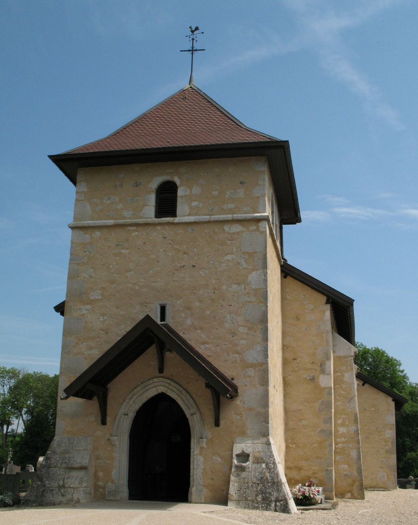
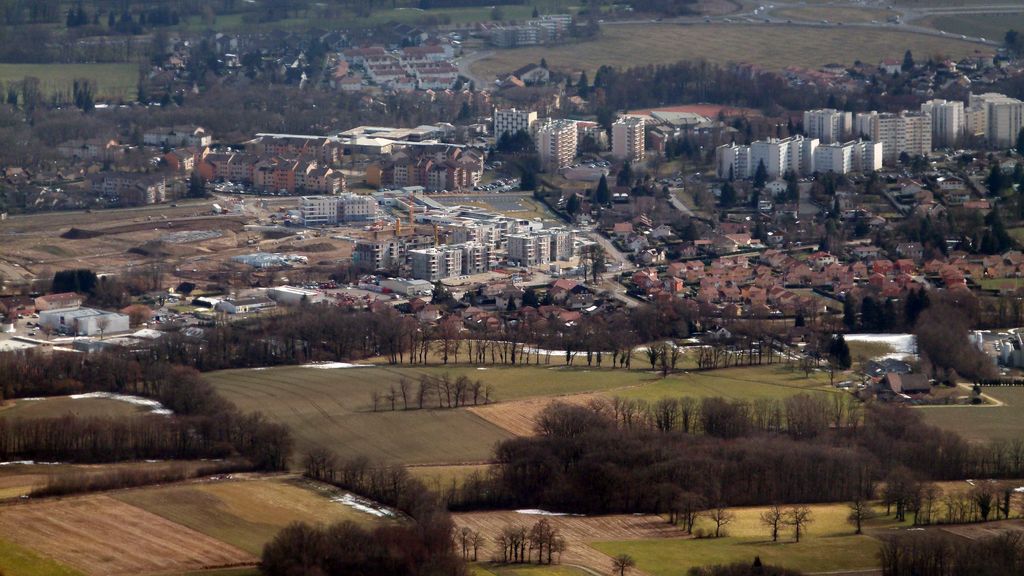
Saint-Genis-Pouilly (French pronunciation: [sɛ̃ ʒəni puji]; Arpitan: Sant-Genés-Polyi) is a commune in the Ain department within the Auvergne-Rhône-Alpes region of eastern France. It is located in the Pays de Gex, at the foot of the Jura Mountains. Bordering the Swiss frontier, it is part of the cross-border area of Geneva. With a population of almost 14,000 inhabitants (2019), it is the fifth most populous commune in the department of Ain. A large portion of CERN, the European laboratory for particle physics, is located within the territory of Saint-Genis-Pouilly; the ALICE experiment is located on the periphery of the town, and the French entrance to the primary CERN campus (Meyrin) and the ATLAS experiment are located only 3 km from the centre of St Genis. CERN is the world's largest fundamental physics research laboratory and its presence has largely been responsible for the development of the community of Saint Genis since the middle of the 1960s.
We use GPS information embedded into the photo when it is available.
3D mountains overlay
Adjust mountain panorama to perfectly match your photos because recorded by camera photo position might be imprecise.
Move tool
Rotate tool
Zoom
More customization
Choose which peak labels should make into the final photo and what photo title should be.
Next
Photo Location
Satellitte
Flat map
Relief map
Latitude
Longitude
Altitude
OR
Latitude
°'''
Longitude
°'''
Apply
Register Peak
Peak Name
Latitude
Longitude
Altitude
Register
Teleport
PeakVisor
This 3D model of Sagarmatha National Park in Nepal was made using the PeakVisor app topographic data. The mobile app features higher precision models worldwide, more topographic details, and works offline. Download PeakVisor maps today.
Download OBJ model
PeakVisor
The download should start shortly. If you find it useful please consider supporting the PeakVisor app.
PeakVisor for iOS and Android
Be a superhero of outdoor navigation with state-of-the-art 3D maps and mountain identification in the palm of your hand!