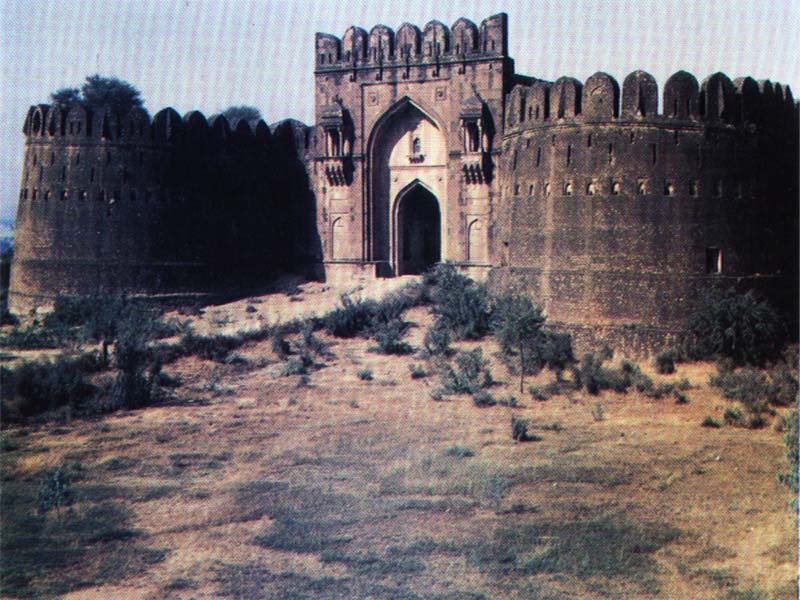
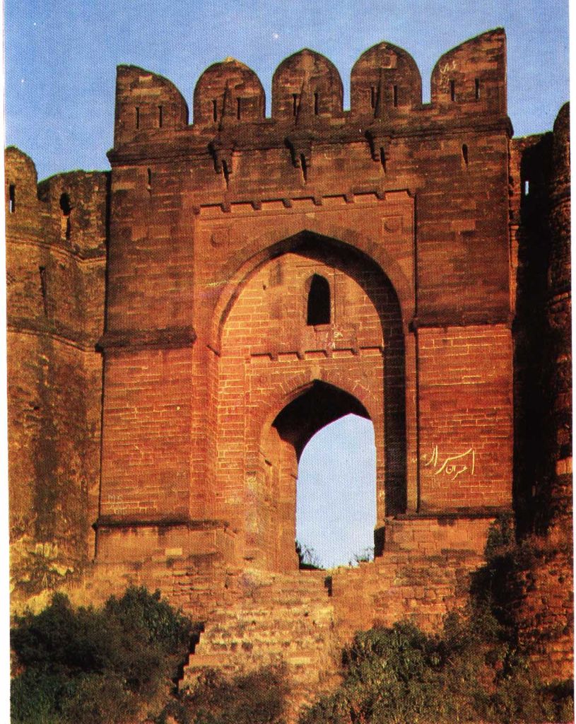
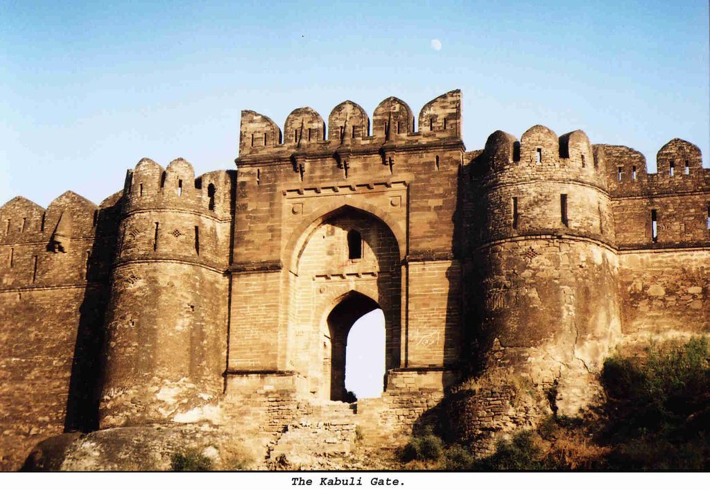
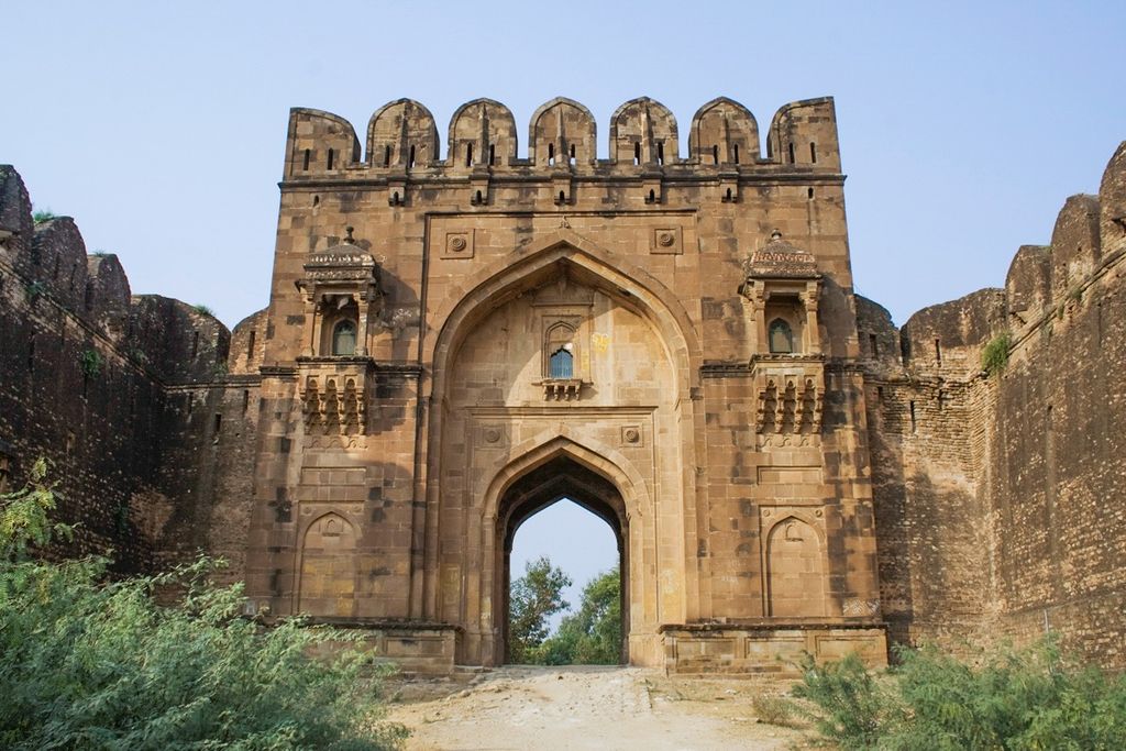
Rohtas Fort (Punjabi, Urdu: قلعہ روہتاس, romanized: Qilā Rohtās) is a 16th-century fortress located near the city of Dina in Jhelum district of the Punjab province of Pakistan. Raja Todar Mal, the minister of the Sur king Sher Shah Suri, supervised the construction of the fort which is now one of the largest and most formidable in Punjab. The fort remains remarkably intact and was declared a UNESCO World Heritage Site in 1997. UNESCO called it an "exceptional example of the Muslim military architecture of Central and South Asia."
We use GPS information embedded into the photo when it is available.
3D mountains overlay
Adjust mountain panorama to perfectly match your photos because recorded by camera photo position might be imprecise.
Move tool
Rotate tool
Zoom
More customization
Choose which peak labels should make into the final photo and what photo title should be.
Next
Photo Location
Satellitte
Flat map
Relief map
Latitude
Longitude
Altitude
OR
Latitude
°'''
Longitude
°'''
Apply
Register Peak
Peak Name
Latitude
Longitude
Altitude
Register
Teleport
PeakVisor
This 3D model of Sagarmatha National Park in Nepal was made using the PeakVisor app topographic data. The mobile app features higher precision models worldwide, more topographic details, and works offline. Download PeakVisor maps today.
Download OBJ model
PeakVisor
The download should start shortly. If you find it useful please consider supporting the PeakVisor app.
PeakVisor for iOS and Android
Be a superhero of outdoor navigation with state-of-the-art 3D maps and mountain identification in the palm of your hand!