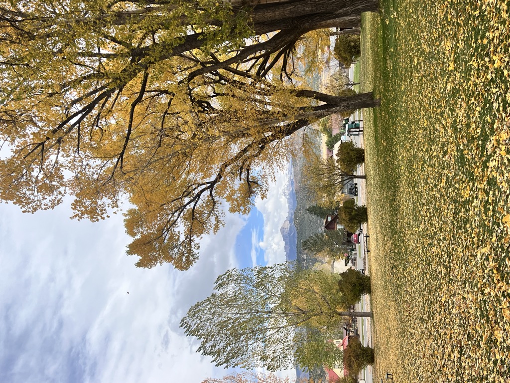
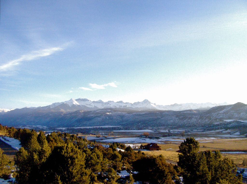
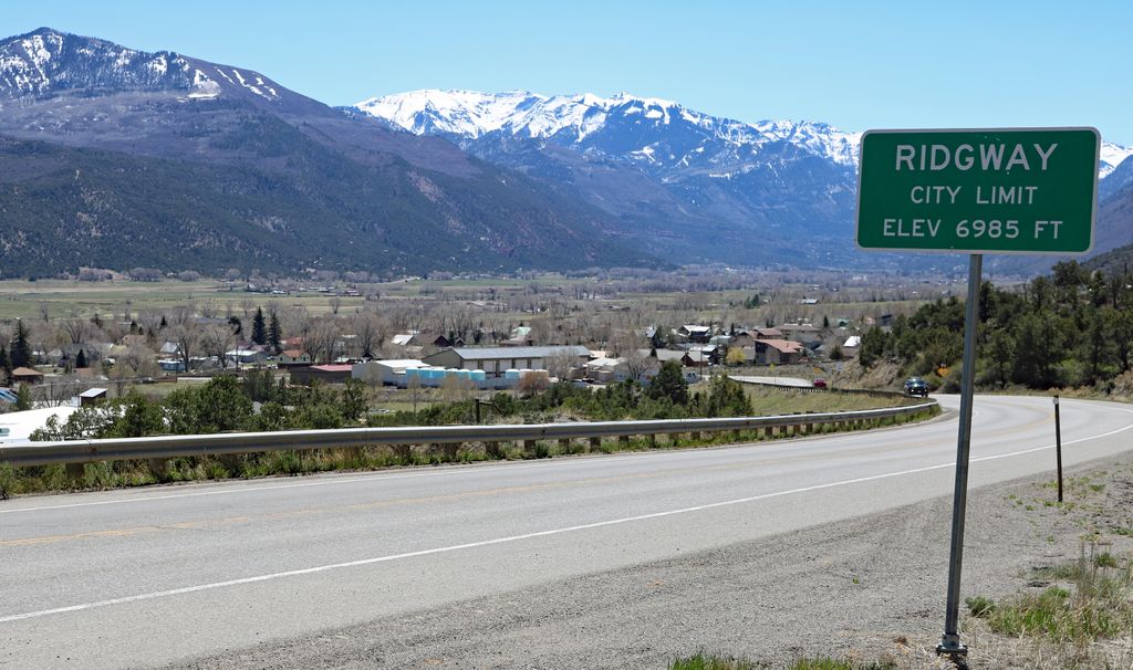
The Town of Ridgway is the home rule municipality that is the most populous municipality in Ouray County, Colorado, United States. The town is a former railroad stop on the Uncompahgre River in the northern San Juan Mountains. The town population was 1,183 at the 2020 census. Steep forested mountains and cliffs surround Ridgway on the south, east, and northeast. The Uncompahgre River runs through the town and flows into the Ridgway State Park and Reservoir, to the north. Dallas Creek also flows from the south-west and forms a confluence with the Uncompahgre before entering the reservoir. There is a notable wildlife presence — mountain lions, badgers, deer, elk, bears, coyotes, wild turkey, and bald eagles are indigenous to the area. The region's bald eagles nest in the cottonwoods along the river and are a common sight in the late fall. Ridgway and the surrounding area have featured prominently in pop culture. Most notably the area is the setting of John Wayne's western movie True Grit, and others including How the West Was Won and Tribute to a Bad Man. Ridgway has the only stoplight in Ouray County, at the intersection of Highways 550 and 62.
Show more
Sun and Moon
Mon
Tue
Wed
Thu
Fri
Sat
Sun
May 2022
Date and time
00:00
06:00
12:00
18:00
Today
--
--
Sunrise
--
Sunset
--
Moonrise
--
Moonset
Phase
🌔 Waxing Gibbous
The perfect light time for beautiful photos:
--
Sunrise
--
Sunset
PeakVisor app
Get the app on your smartphone
New Panorama Tools
Trace location on the map
Measure distances
All the instruments are available in the context menu as well.
We use GPS information embedded into the photo when it is available.
3D mountains overlay
Adjust mountain panorama to perfectly match your photos because recorded by camera photo position might be imprecise.
Move tool
Rotate tool
Zoom
More customization
Choose which peak labels should make into the final photo and what photo title should be.
Next
Photo Location
Satellitte
Flat map
Relief map
Latitude
Longitude
Altitude
OR
Latitude
°'''
Longitude
°'''
Apply
Register Peak
Peak Name
Latitude
Longitude
Altitude
Register
Teleport
PeakVisor
This 3D model of Sagarmatha National Park in Nepal was made using the PeakVisor app topographic data. The mobile app features higher precision models worldwide, more topographic details, and works offline. Download PeakVisor maps today.
Download OBJ model
PeakVisor
The download should start shortly. If you find it useful please consider supporting the PeakVisor app.
PeakVisor for iOS and Android
Be a superhero of outdoor navigation with state-of-the-art 3D maps and mountain identification in the palm of your hand!