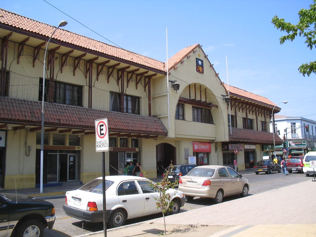
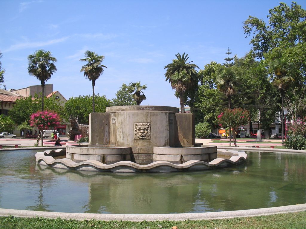
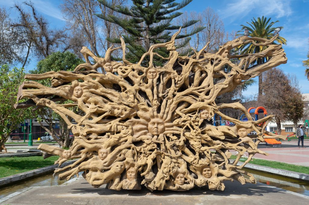
Quillota is a city located in the valley of the Aconcagua River in Valparaíso Region, Chile. It is the capital and largest city of Quillota Province. It is surrounded by the localities of San Isidro, La Palma, Pocochay, and San Pedro. It is an important agricultural center, mainly because of the plantations of avocado and cherimoya trees. Quillota is connected to the city of La Calera by the small city of La Cruz. Charles Darwin described the area's agriculture and the landscape in his book The Voyage of the Beagle. In nearby La Campana National Park, there is a plaque at a viewpoint commemorating Darwin's visit.
We use GPS information embedded into the photo when it is available.
3D mountains overlay
Adjust mountain panorama to perfectly match your photos because recorded by camera photo position might be imprecise.
Move tool
Rotate tool
Zoom
More customization
Choose which peak labels should make into the final photo and what photo title should be.
Next
Photo Location
Satellitte
Flat map
Relief map
Latitude
Longitude
Altitude
OR
Latitude
°'''
Longitude
°'''
Apply
Register Peak
Peak Name
Latitude
Longitude
Altitude
Register
Teleport
PeakVisor
This 3D model of Sagarmatha National Park in Nepal was made using the PeakVisor app topographic data. The mobile app features higher precision models worldwide, more topographic details, and works offline. Download PeakVisor maps today.
Download OBJ model
PeakVisor
The download should start shortly. If you find it useful please consider supporting the PeakVisor app.
PeakVisor for iOS and Android
Be a superhero of outdoor navigation with state-of-the-art 3D maps and mountain identification in the palm of your hand!