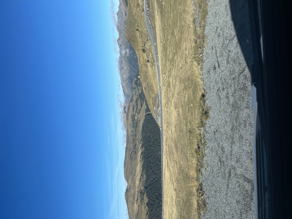
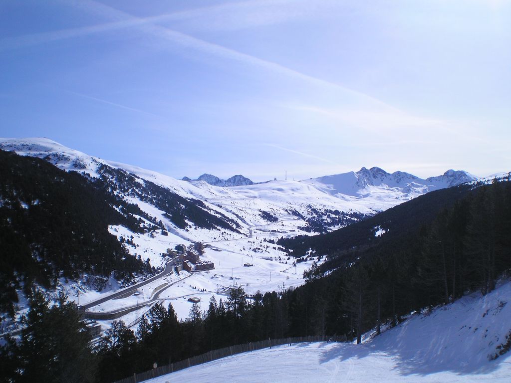
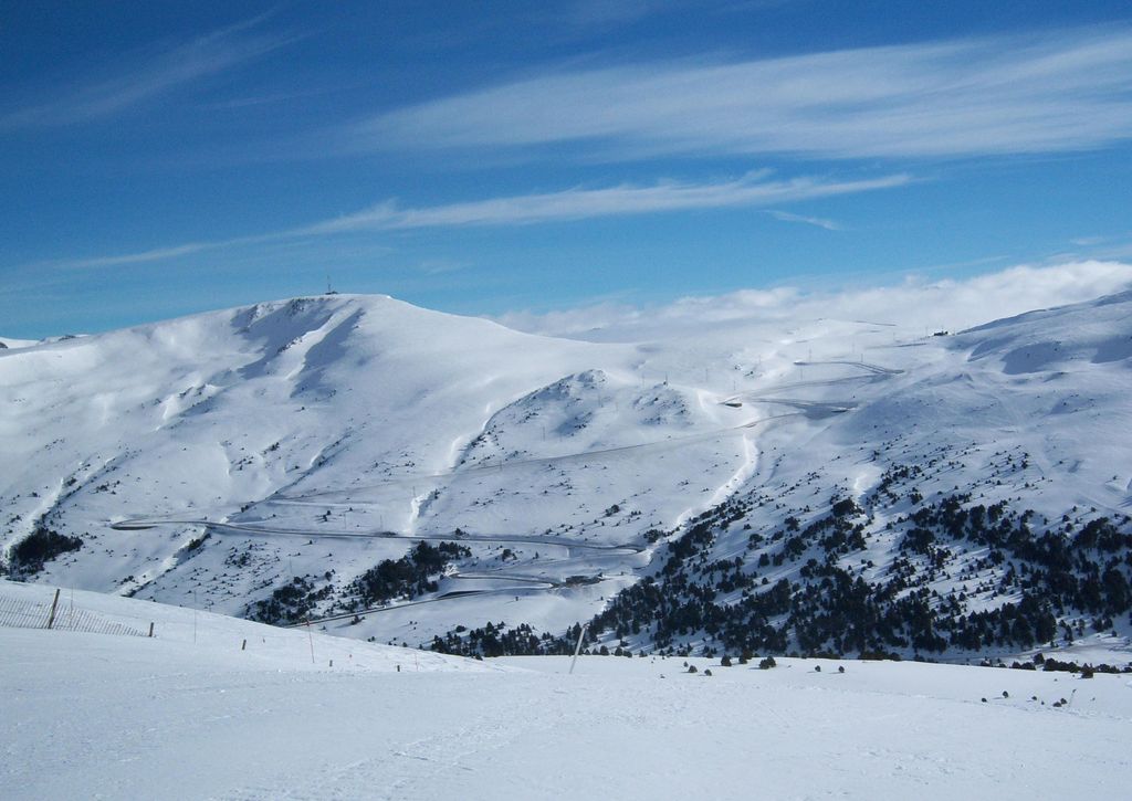
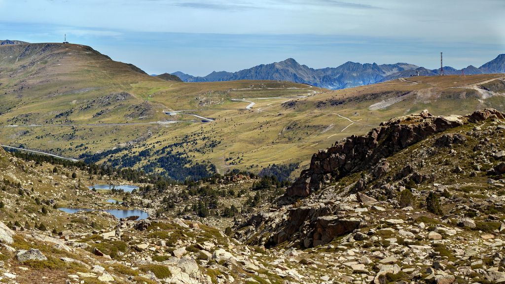
Port d'Envalira (el. 2408 m.) is a mountain pass in the Pyrenees in Andorra, that connects El Pas de la Casa with the rest of the country. It is the highest paved road in the Pyrenees. The climb has been featured several times at the Tour de France and Vuelta a España cycling races. The construction of a toll tunnel to avoid the mountain pass started in 1999 and opened to traffic in 2002. The tunnel is located at an altitude of about 2000 meters and is nearly 3 kilometers long.
We use GPS information embedded into the photo when it is available.
3D mountains overlay
Adjust mountain panorama to perfectly match your photos because recorded by camera photo position might be imprecise.
Move tool
Rotate tool
Zoom
More customization
Choose which peak labels should make into the final photo and what photo title should be.
Next
Photo Location
Satellitte
Flat map
Relief map
Latitude
Longitude
Altitude
OR
Latitude
°'''
Longitude
°'''
Apply
Register Peak
Peak Name
Latitude
Longitude
Altitude
Register
Teleport
PeakVisor
This 3D model of Sagarmatha National Park in Nepal was made using the PeakVisor app topographic data. The mobile app features higher precision models worldwide, more topographic details, and works offline. Download PeakVisor maps today.
Download OBJ model
PeakVisor
The download should start shortly. If you find it useful please consider supporting the PeakVisor app.
PeakVisor for iOS and Android
Be a superhero of outdoor navigation with state-of-the-art 3D maps and mountain identification in the palm of your hand!