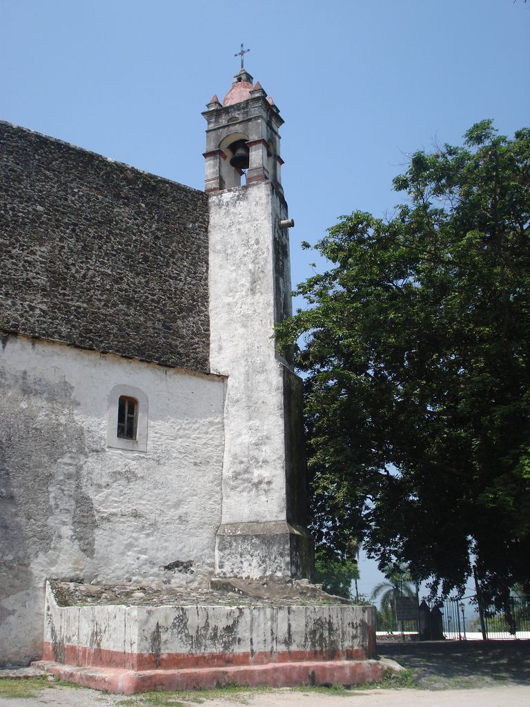
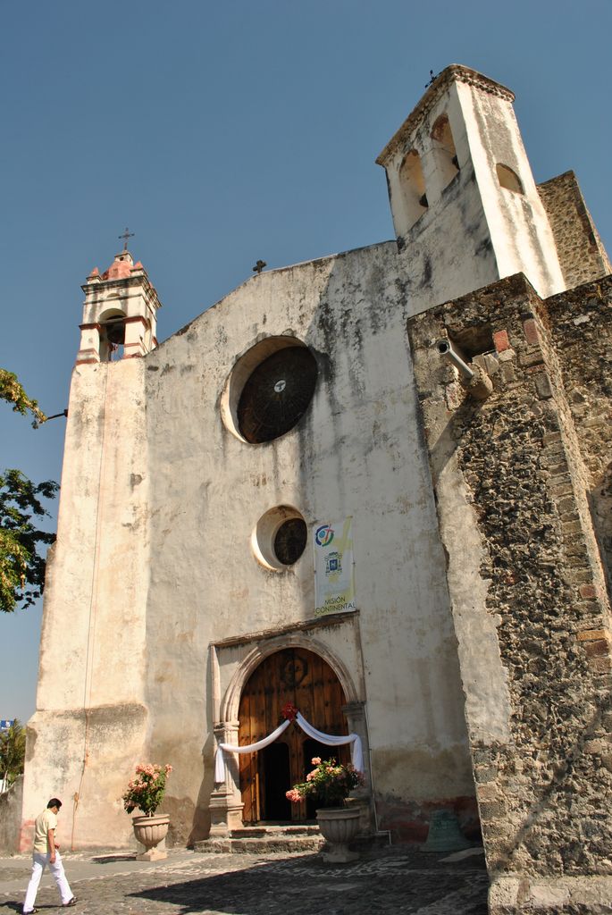
Oaxtepec is a town within the municipality of Yautepec and the Cuautla metropolitan area in the eastern part of the Mexican state of Morelos. Its main industry is tourism, mostly aimed at the inhabitants of nearby Mexico City, and the town possesses various aquatic resorts and hotels. The climate is tropical and the countryside very lush. The population of Oaxtepec is 7,097 (2020). Oaxtepec had 6,939 inhabitants in 2010. During the XIX Olympiad in 1968, Oaxtepec was the venue and staging area for the World Youth Camp component of the Cultural Olympiad. Equestrian events at the 1968 Olympiad were held in Oaxtepec.
We use GPS information embedded into the photo when it is available.
3D mountains overlay
Adjust mountain panorama to perfectly match your photos because recorded by camera photo position might be imprecise.
Move tool
Rotate tool
Zoom
More customization
Choose which peak labels should make into the final photo and what photo title should be.
Next
Photo Location
Satellitte
Flat map
Relief map
Latitude
Longitude
Altitude
OR
Latitude
°'''
Longitude
°'''
Apply
Register Peak
Peak Name
Latitude
Longitude
Altitude
Register
Teleport
PeakVisor
This 3D model of Sagarmatha National Park in Nepal was made using the PeakVisor app topographic data. The mobile app features higher precision models worldwide, more topographic details, and works offline. Download PeakVisor maps today.
Download OBJ model
PeakVisor
The download should start shortly. If you find it useful please consider supporting the PeakVisor app.
PeakVisor for iOS and Android
Be a superhero of outdoor navigation with state-of-the-art 3D maps and mountain identification in the palm of your hand!