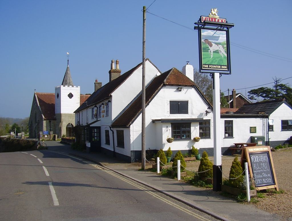
Newchurch is a village and civil parish on the Isle of Wight. It is located between Sandown and Newport in the southeast of the island. Anthony Dillington, owner of the Knighton Gorges Manor in Newchurch wrote to his son Robert in 1574 that, "This is the very Garden of England, and we be privileged to work in it as Husbandmen......." Newchurch obtained its name from the new church built in 1087 by the Norman monks of Lyra. The Newchurch Parish for many centuries stretched from the north to south coasts of the Island; by the early Nineteenth Century the growing resort towns of Ventnor and Ryde were included within its boundaries. The parish was administered by the Church Parish Vestry until 1894 when civil matters were passed to the newly formed Parish Council which now forms the second tier of Local Government under the Isle of Wight Council. In 1982 Alverstone was included in the civil parish. The present day parish includes Newchurch Village, Apse Heath, Winford, Whiteley Bank, Alverstone, Alverstone Garden Village, Queen's Bower, Princelett and Mersley. Public transport is provided by Southern Vectis bus route 22, operating between Newchurch and Shanklin. Wightbus used to operate bus route 23 between Newport and Shanklin but this was discontinued when Wightbus ceased operations. The Sustrans route 23 cycle route also runs through the village at the bottom of the Shute, allowing easy access to Cowes, Newport and Sandown. Between 1875 and 1956 Newchurch had the advantage of a railway station. There is a pub called "The Pointer Inn" and a sub-post office.
Show more
Sun and Moon
Mon
Tue
Wed
Thu
Fri
Sat
Sun
May 2022
Date and time
00:00
06:00
12:00
18:00
Today
--
--
Sunrise
--
Sunset
--
Moonrise
--
Moonset
Phase
🌔 Waxing Gibbous
The perfect light time for beautiful photos:
--
Sunrise
--
Sunset
PeakVisor app
Get the app on your smartphone
New Panorama Tools
Trace location on the map
Measure distances
All the instruments are available in the context menu as well.
We use GPS information embedded into the photo when it is available.
3D mountains overlay
Adjust mountain panorama to perfectly match your photos because recorded by camera photo position might be imprecise.
Move tool
Rotate tool
Zoom
More customization
Choose which peak labels should make into the final photo and what photo title should be.
Next
Photo Location
Satellitte
Flat map
Relief map
Latitude
Longitude
Altitude
OR
Latitude
°'''
Longitude
°'''
Apply
Register Peak
Peak Name
Latitude
Longitude
Altitude
Register
Teleport
PeakVisor
This 3D model of Sagarmatha National Park in Nepal was made using the PeakVisor app topographic data. The mobile app features higher precision models worldwide, more topographic details, and works offline. Download PeakVisor maps today.
Download OBJ model
PeakVisor
The download should start shortly. If you find it useful please consider supporting the PeakVisor app.
PeakVisor for iOS and Android
Be a superhero of outdoor navigation with state-of-the-art 3D maps and mountain identification in the palm of your hand!


_(1).jpg)