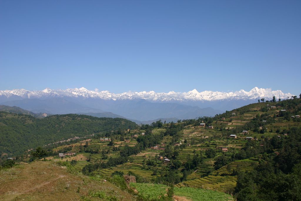
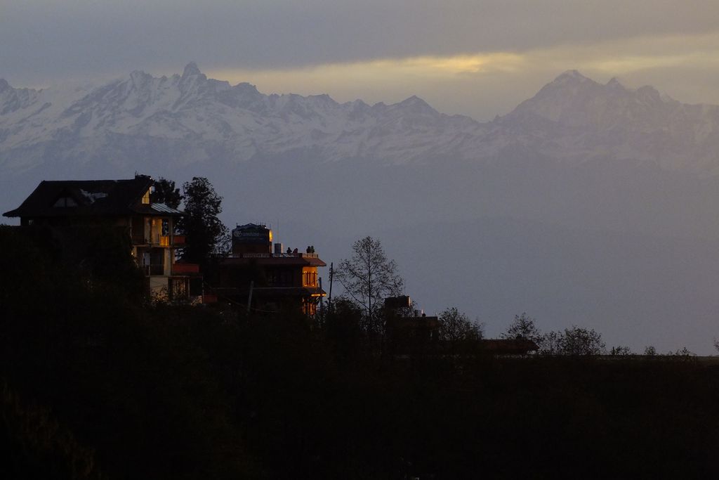
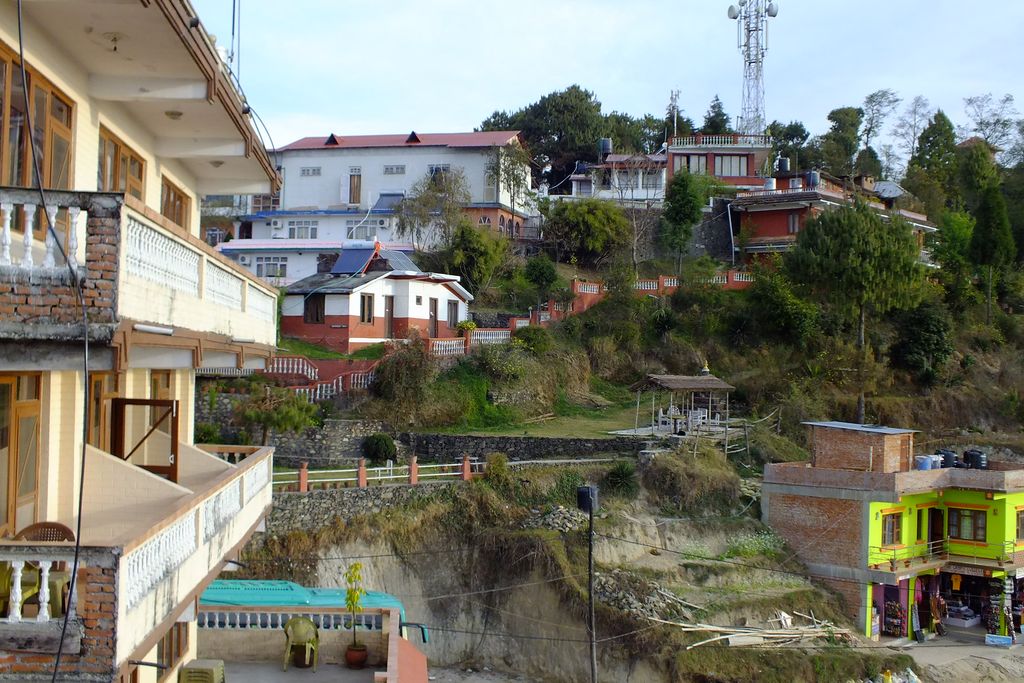
Nagarkot (Nepali: नगरकोट) is a former Village Development Committee located 32 km east of Kathmandu, Nepal in Bhaktapur District in Bagmati Province and as of 2015 part of Nagarkot Municipality. At the time of the 2011 census it had a population of 4,571 and had 973 houses in it. At an elevation of 2,195 meters, it is considered one of the most scenic spots in Bhaktapur District. It is known for a sunrise view of the Himalayas including Mount Everest as well as other peaks of the Himalayan range of eastern Nepal. Nagarkot also offers views of the Kathmandu Valley. The scenery of the place makes it a popular hiking route for tourists. It is located approximately 7000 ft (2000 m) above sea level and 28 km from Kathmandu International Airport. Nagarkot commands one of the broadest views of the Himalayas in the Kathmandu valley (8 Himalayan ranges of Nepal out of 13 from here). The ranges include Annapurna range, Manaslu range, Ganesh himal range, Langtang range, Jugal range, Rolwaling range, Mahalangur range (Everest range) and Numbur range with views of the Kathmandu valley and Shivapuri National Park. For nature lovers and outdoor enthusiasts, there are many hiking opportunities in and around Nagarkot. Among them, Nagarkot eco trail (nature walk) along with Nagarkot panoramic hiking trail is the most popular ones. It is also possible to do paragliding with Everest view in Nagarkot. Situated in a strategic location, Nagarkot was an ancient fort of the Kathmandu valley built to monitor the external activities of other kingdoms. Later, it became a summer retreat for the royal family before becoming popular as an international hill station.
We use GPS information embedded into the photo when it is available.
3D mountains overlay
Adjust mountain panorama to perfectly match your photos because recorded by camera photo position might be imprecise.
Move tool
Rotate tool
Zoom
More customization
Choose which peak labels should make into the final photo and what photo title should be.
Next
Photo Location
Satellitte
Flat map
Relief map
Latitude
Longitude
Altitude
OR
Latitude
°'''
Longitude
°'''
Apply
Register Peak
Peak Name
Latitude
Longitude
Altitude
Register
Teleport
PeakVisor
This 3D model of Sagarmatha National Park in Nepal was made using the PeakVisor app topographic data. The mobile app features higher precision models worldwide, more topographic details, and works offline. Download PeakVisor maps today.
Download OBJ model
PeakVisor
The download should start shortly. If you find it useful please consider supporting the PeakVisor app.
PeakVisor for iOS and Android
Be a superhero of outdoor navigation with state-of-the-art 3D maps and mountain identification in the palm of your hand!