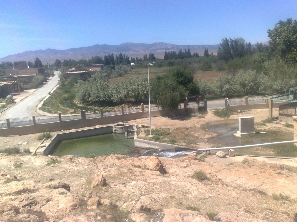
N'Gaous (Latin: Nicives) is an ancient town in northeastern Algeria, The city of N'Gaous is a city located southwest of the state of Batna, an area of 80.45 km, rising 770 meters above sea level, in a beautiful place among the strings of the Oras, with a is the westward and eastward terrain aspect. It is surrounded by the green areas, surrounded in the north-west by the Qatian Mountains, which have as their highest peak the summit of Ticherrit. To the east is the city of Ain al-Touta and the peak at 2176 meters called: Rifaa. The city celebrates the apricot festival on 19 June each year. It is famous for making apricot juice.
We use GPS information embedded into the photo when it is available.
3D mountains overlay
Adjust mountain panorama to perfectly match your photos because recorded by camera photo position might be imprecise.
Move tool
Rotate tool
Zoom
More customization
Choose which peak labels should make into the final photo and what photo title should be.
Next
Photo Location
Satellitte
Flat map
Relief map
Latitude
Longitude
Altitude
OR
Latitude
°'''
Longitude
°'''
Apply
Register Peak
Peak Name
Latitude
Longitude
Altitude
Register
Teleport
PeakVisor
This 3D model of Sagarmatha National Park in Nepal was made using the PeakVisor app topographic data. The mobile app features higher precision models worldwide, more topographic details, and works offline. Download PeakVisor maps today.
Download OBJ model
PeakVisor
The download should start shortly. If you find it useful please consider supporting the PeakVisor app.
PeakVisor for iOS and Android
Be a superhero of outdoor navigation with state-of-the-art 3D maps and mountain identification in the palm of your hand!