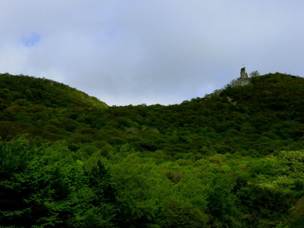
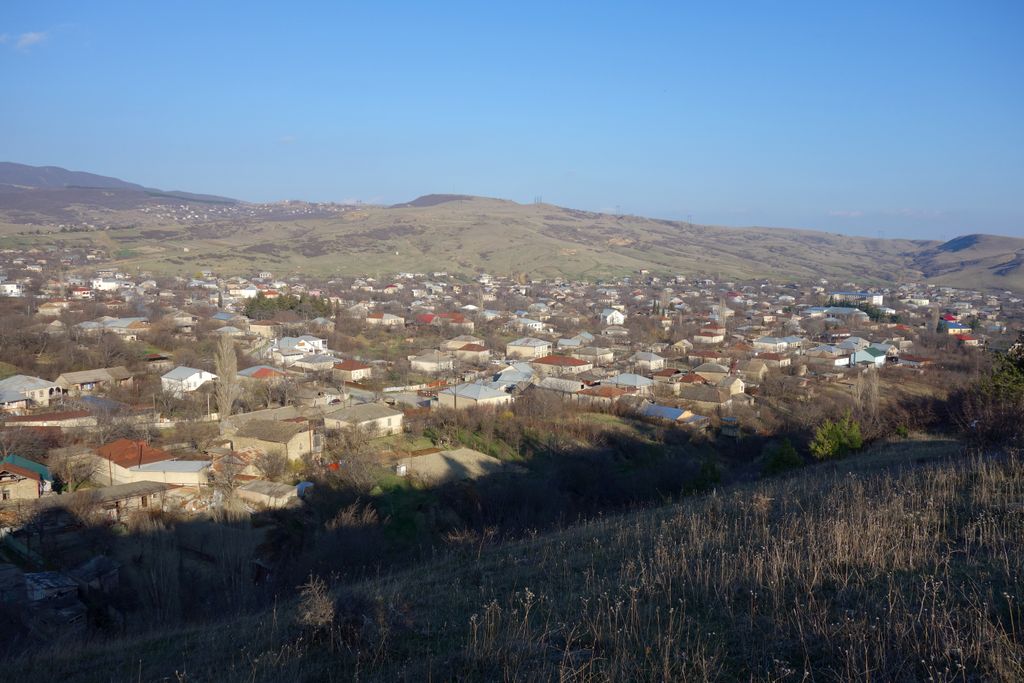
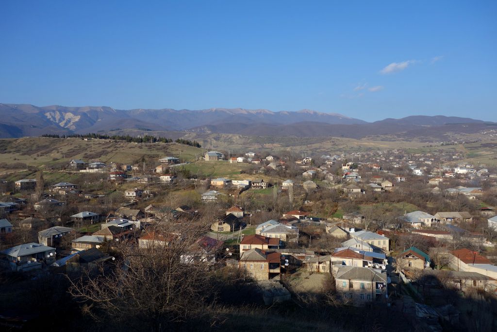
Martqopi (Georgian: მარტყოფი) is a village in Gardabani Municipality of Georgia. It is located on the left side of Ialno range, in the gorges of the rivers Alikhevi and Tevali, and is at an altitude of 770 meters. It is 55 kilometers from Gardabani and 12 kilometers from Vaziani (the nearest railway station). According to the 2014 census, the village is populated by 7397 residents. The region of Martqopi played a big role during the third millennium BC. It is distinguished by many rich burial Kurgans, representing the early stage of the Early Kurgan culture of Central Transcaucasia. In 1625, Martqopi was a battlefield for a military confrontation between the Georgian Kingdom of Kartli and Safavid Iran. The Georgians, led by General Giorgi Saakadze, annihilated an Iranian detachment of Shah-Abbas I.
We use GPS information embedded into the photo when it is available.
3D mountains overlay
Adjust mountain panorama to perfectly match your photos because recorded by camera photo position might be imprecise.
Move tool
Rotate tool
Zoom
More customization
Choose which peak labels should make into the final photo and what photo title should be.
Next
Photo Location
Satellitte
Flat map
Relief map
Latitude
Longitude
Altitude
OR
Latitude
°'''
Longitude
°'''
Apply
Register Peak
Peak Name
Latitude
Longitude
Altitude
Register
Teleport
PeakVisor
This 3D model of Sagarmatha National Park in Nepal was made using the PeakVisor app topographic data. The mobile app features higher precision models worldwide, more topographic details, and works offline. Download PeakVisor maps today.
Download OBJ model
PeakVisor
The download should start shortly. If you find it useful please consider supporting the PeakVisor app.
PeakVisor for iOS and Android
Be a superhero of outdoor navigation with state-of-the-art 3D maps and mountain identification in the palm of your hand!