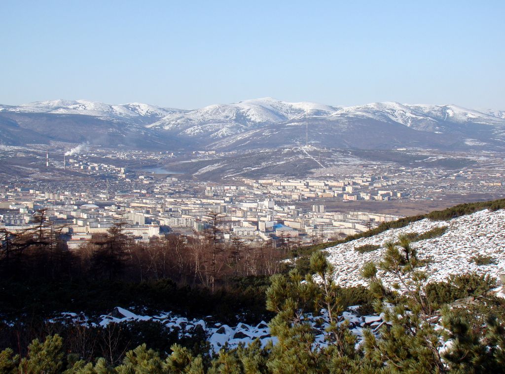
Magadan (Russian: Магадан, IPA: [məɡɐˈdan]) is a port town and the administrative centre of Magadan Oblast, Russia. The city is located on the isthmus of the Staritsky Peninsula by the Nagaev Bay; it serves as a gateway to the Kolyma region. Magadan, founded in 1929, was a major transit centre for political prisoners during the Stalin era and the administrative centre of the Dalstroy forced-labor gold-mining operation. The town later served as a port for exporting gold and other metals and was visited by U.S. Vice President Henry Wallace in 1944. Magadan plays a significant role in transportation with the Port of Magadan and Sokol Airport. The local economy relies on gold mining and fisheries, although gold production has declined. The town has various cultural institutions and religious establishments, such as the Orthodox Holy Trinity Cathedral and the Roman Catholic Church of the Nativity. The Mask of Sorrow memorial commemorates Stalin's victims. Magadan experiences a subarctic climate with prolonged and cold winters, causing the soil to remain permanently frozen.
We use GPS information embedded into the photo when it is available.
3D mountains overlay
Adjust mountain panorama to perfectly match your photos because recorded by camera photo position might be imprecise.
Move tool
Rotate tool
Zoom
More customization
Choose which peak labels should make into the final photo and what photo title should be.
Next
Photo Location
Satellitte
Flat map
Relief map
Latitude
Longitude
Altitude
OR
Latitude
°'''
Longitude
°'''
Apply
Register Peak
Peak Name
Latitude
Longitude
Altitude
Register
Teleport
PeakVisor
This 3D model of Sagarmatha National Park in Nepal was made using the PeakVisor app topographic data. The mobile app features higher precision models worldwide, more topographic details, and works offline. Download PeakVisor maps today.
Download OBJ model
PeakVisor
The download should start shortly. If you find it useful please consider supporting the PeakVisor app.
PeakVisor for iOS and Android
Be a superhero of outdoor navigation with state-of-the-art 3D maps and mountain identification in the palm of your hand!