Scan the QR code and open PeakVisor on your phone
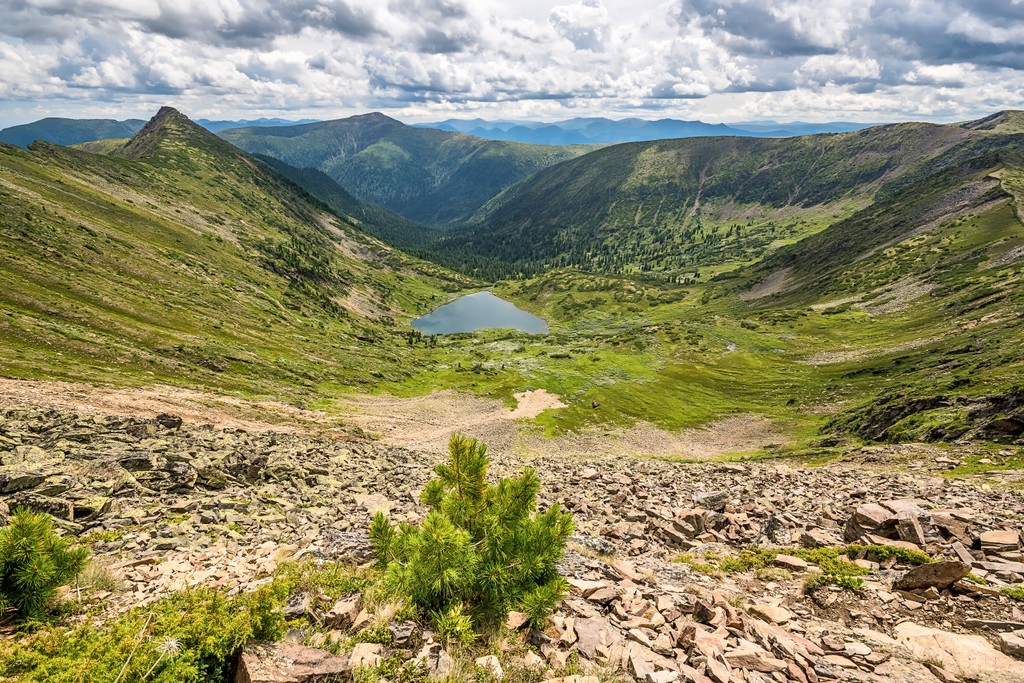
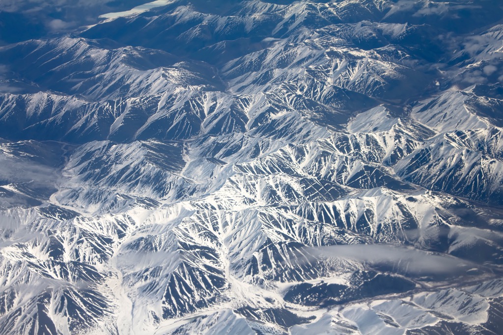
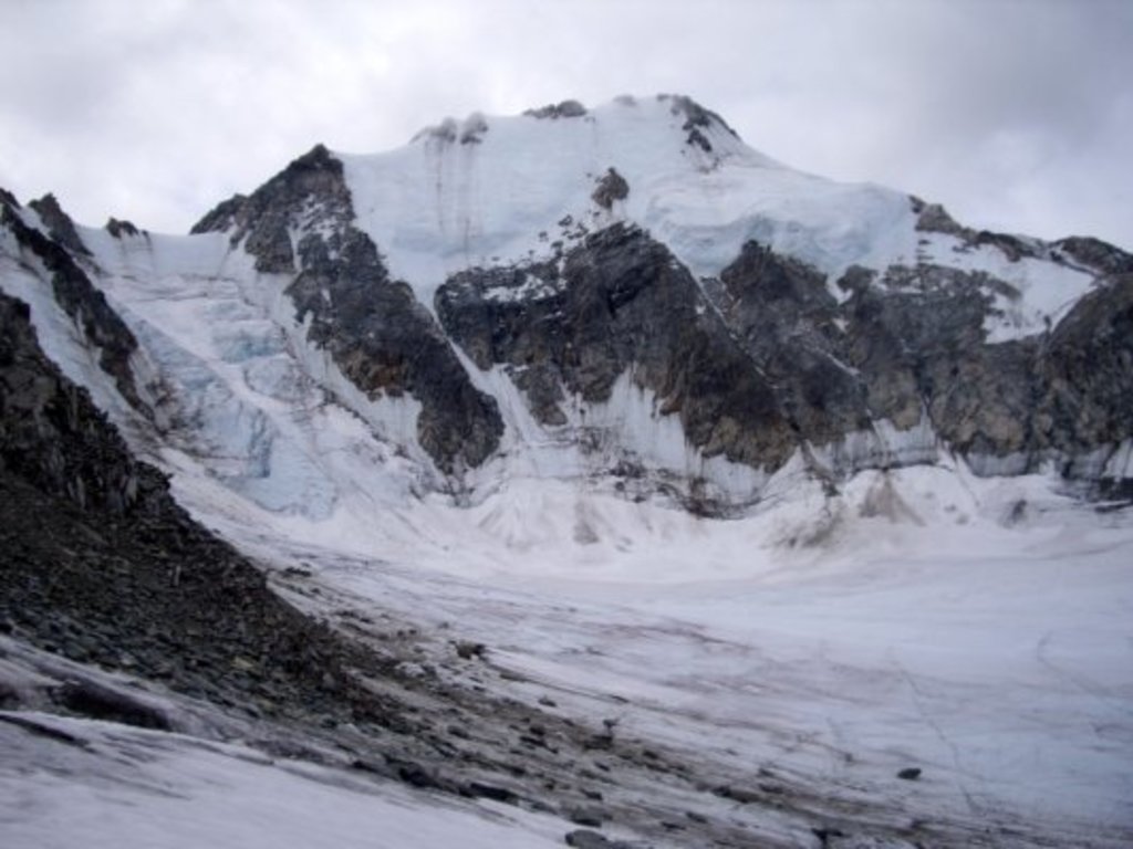
The Chersky Range is a complex mountain system consisting of multiple ranges located parallel to each other on the territory of about 150 km (93.2 mi) in North-Eastern Siberia in two regions of Russia: the Sakha Republic and Magadan Oblast. The main feature of the system is its highest and most prominent mountain Peak Pobeda (3,003 m / 9,852 ft), the name of which is translated as "Victory". These mountains, however, are anciently inhabited by the Yakuts, the local indigenous population of this part of Siberia, with unique centuries old history, culture and traditions based on nomadism. Two other peaks particularly revered by them are located on the territory of the system: Ynnakh Mountain (1,609 m / 1,279 ft) and Kigilyakh rock formations—a series of tall monoliths standing isolated from each other. In total there are 188 named mountains in the Chersky Range.