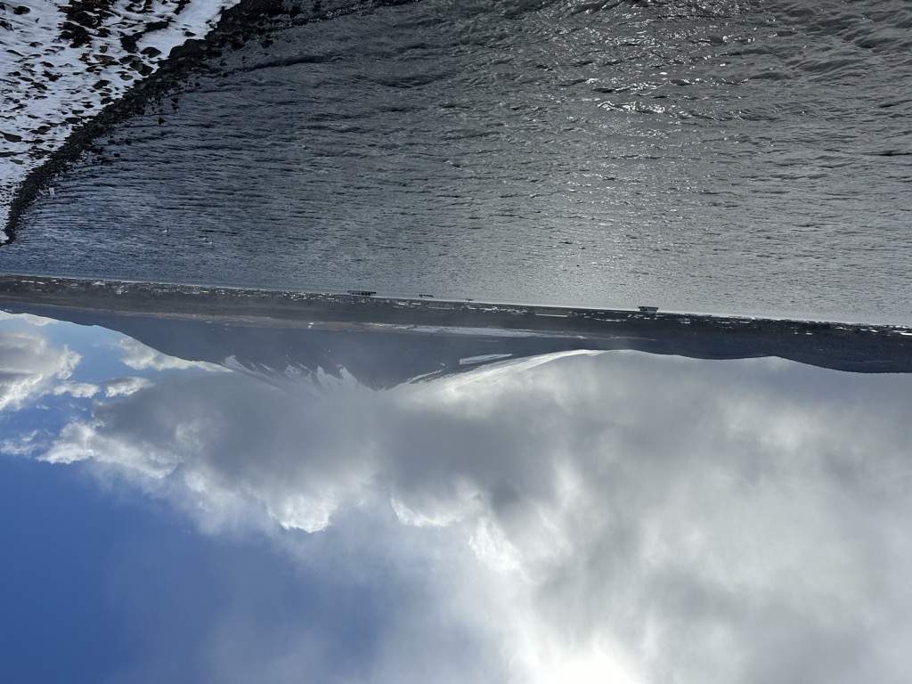
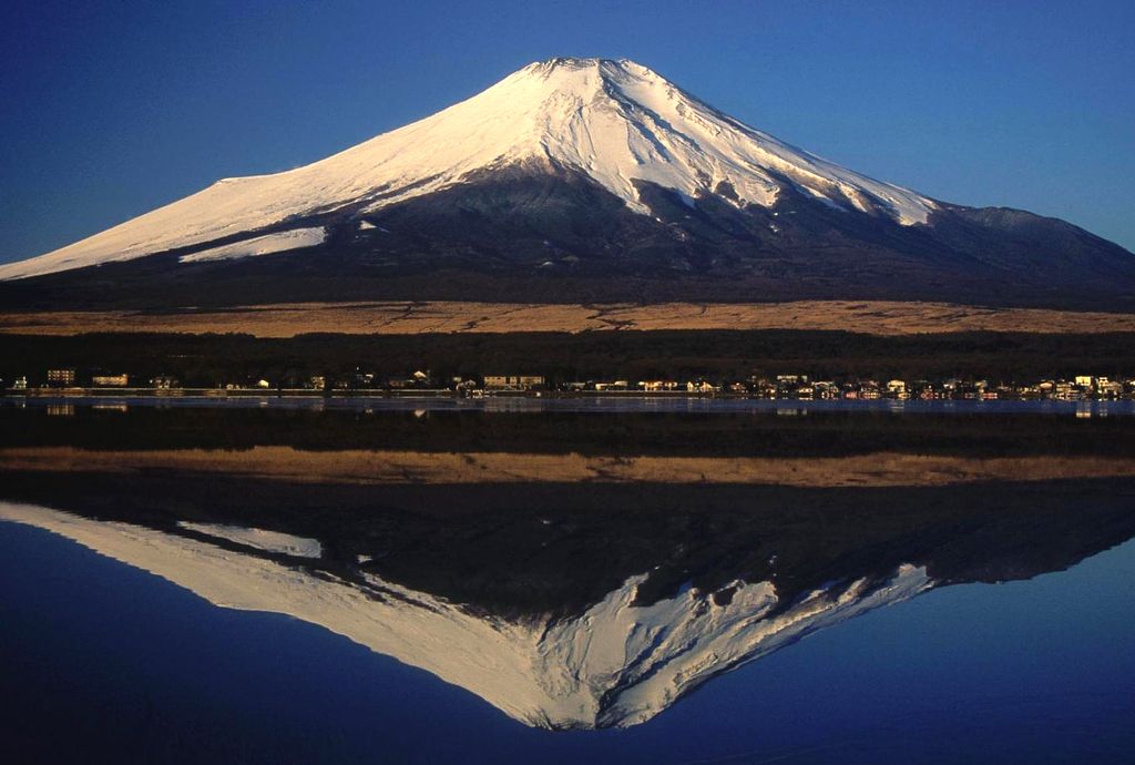
Lake Yamanaka (山中湖, Yamanaka-ko, 'Lake in the Mountains') is located in the village of Yamanakako in Yamanashi Prefecture near Mount Fuji, Japan. Lake Yamanaka is the largest of the Fuji Five Lakes in surface area and the highest in elevation. It is the third highest lake in Japan, with a mean surface altitude of 980.5 metres (3,217 ft). It is also the shallowest of the Fuji Five Lakes, with a maximum water depth of 13.5 metres (44 ft). It was formed by lava flows from an ancient eruption of Mount Fuji. It is drained by the Sagami River and is the only of the Fuji Five Lakes to have a natural outflow. Carp, dace and smelt were introduced to the lake in the Meiji period, although early efforts to introduce sockeye salmon were not successful. In more recent years, introduced exotics such as black bass and bluegill have increasingly displaced native species. In terms of plant life, a variety of marimo was discovered in the lake in 1956. The lake is a popular recreational site for boating, fishing, water-skiing, windsurfing, sightseeing and swimming. If the wind comes from the west, the lake provides a smooth lift for paragliding at Mount Myōjinyama. There are also small cabins and sites available for camping. The lake is within the borders of the (Fuji-Hakone-Izu National Park). In 2013 the lake was added to the World Heritage List as part of the Fujisan Cultural Site.
We use GPS information embedded into the photo when it is available.
3D mountains overlay
Adjust mountain panorama to perfectly match your photos because recorded by camera photo position might be imprecise.
Move tool
Rotate tool
Zoom
More customization
Choose which peak labels should make into the final photo and what photo title should be.
Next
Photo Location
Satellitte
Flat map
Relief map
Latitude
Longitude
Altitude
OR
Latitude
°'''
Longitude
°'''
Apply
Register Peak
Peak Name
Latitude
Longitude
Altitude
Register
Teleport
PeakVisor
This 3D model of Sagarmatha National Park in Nepal was made using the PeakVisor app topographic data. The mobile app features higher precision models worldwide, more topographic details, and works offline. Download PeakVisor maps today.
Download OBJ model
PeakVisor
The download should start shortly. If you find it useful please consider supporting the PeakVisor app.
PeakVisor for iOS and Android
Be a superhero of outdoor navigation with state-of-the-art 3D maps and mountain identification in the palm of your hand!