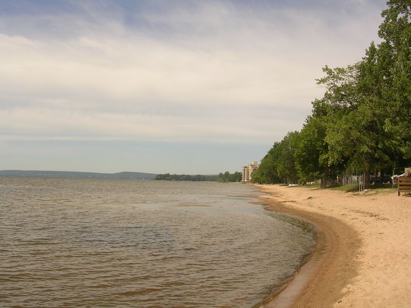
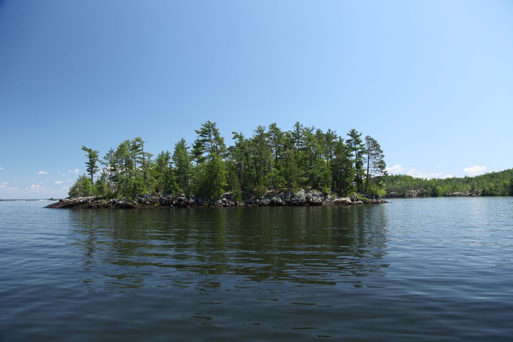
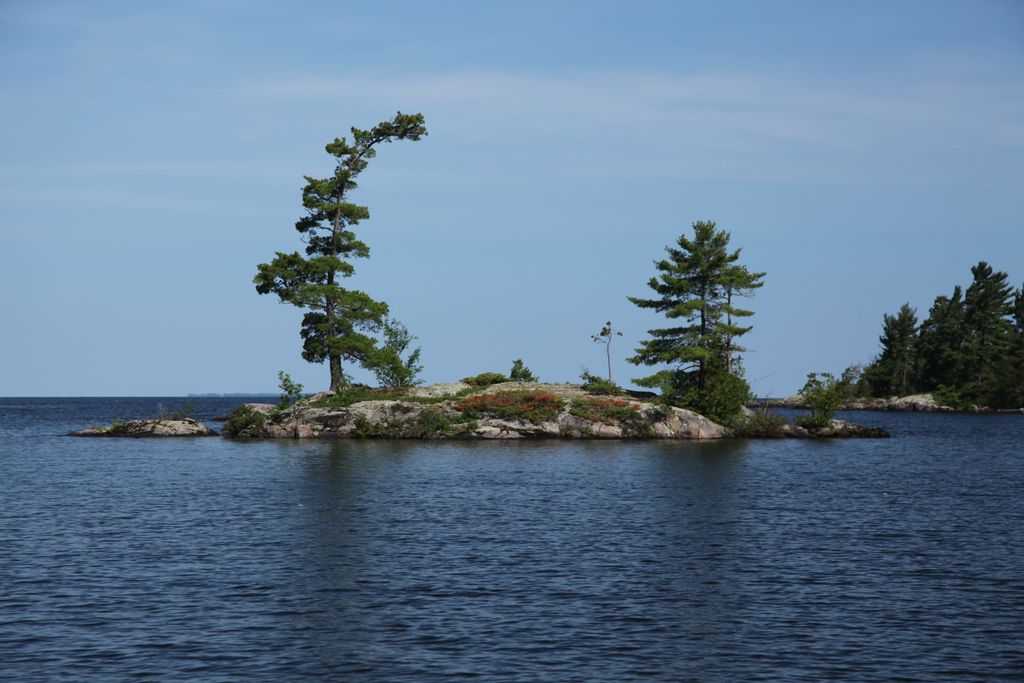
Lake Nipissing (; French: lac Nipissing, Ojibwe: ᑭᒋᓂᐲᓐᓯᓐᓵᑲᐃᑲᓐ, romanized: Gichi-nibiinsing-zaaga’igan) is a lake in the Canadian province of Ontario. It has a surface area of 873.3 km2 (337.2 sq mi), a mean elevation of 196 m (643 ft) above sea level, and is located between the Ottawa River and Georgian Bay. Lake Nipissing is the third-largest lake entirely in Ontario. It is relatively shallow for a large lake, with an average depth of only 4.5 m (15 ft). The shallowness of the lake makes for many sandbars along the lake's irregular shoreline. The lake reaches a maximum depth of 64 m (210 ft) near the mouth of the French River, off the shore of Blueberry Island. The lake has many islands most of which are protected under the Protection of Significant Wetlands scheme, controlled by the Ministry of Natural Resources and Forestry. The largest population centre on the lake's shoreline is the city of North Bay. North Bay sits along the lake's northeastern shoreline. Other notable towns include Callander (south of North Bay along Highway 11). The larger towns toward the western end of the lake are Sturgeon Falls, Garden Village, Cache Bay and Lavigne.
Show more
Sun and Moon
Mon
Tue
Wed
Thu
Fri
Sat
Sun
May 2022
Date and time
00:00
06:00
12:00
18:00
Today
--
--
Sunrise
--
Sunset
--
Moonrise
--
Moonset
Phase
🌔 Waxing Gibbous
The perfect light time for beautiful photos:
--
Sunrise
--
Sunset
PeakVisor app
Get the app on your smartphone
New Panorama Tools
Trace location on the map
Measure distances
All the instruments are available in the context menu as well.
We use GPS information embedded into the photo when it is available.
3D mountains overlay
Adjust mountain panorama to perfectly match your photos because recorded by camera photo position might be imprecise.
Move tool
Rotate tool
Zoom
More customization
Choose which peak labels should make into the final photo and what photo title should be.
Next
Photo Location
Satellitte
Flat map
Relief map
Latitude
Longitude
Altitude
OR
Latitude
°'''
Longitude
°'''
Apply
Register Peak
Peak Name
Latitude
Longitude
Altitude
Register
Teleport
PeakVisor
This 3D model of Sagarmatha National Park in Nepal was made using the PeakVisor app topographic data. The mobile app features higher precision models worldwide, more topographic details, and works offline. Download PeakVisor maps today.
Download OBJ model
PeakVisor
The download should start shortly. If you find it useful please consider supporting the PeakVisor app.
PeakVisor for iOS and Android
Be a superhero of outdoor navigation with state-of-the-art 3D maps and mountain identification in the palm of your hand!