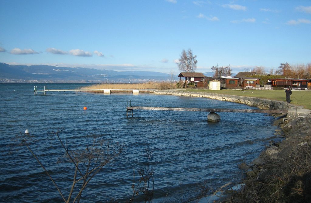
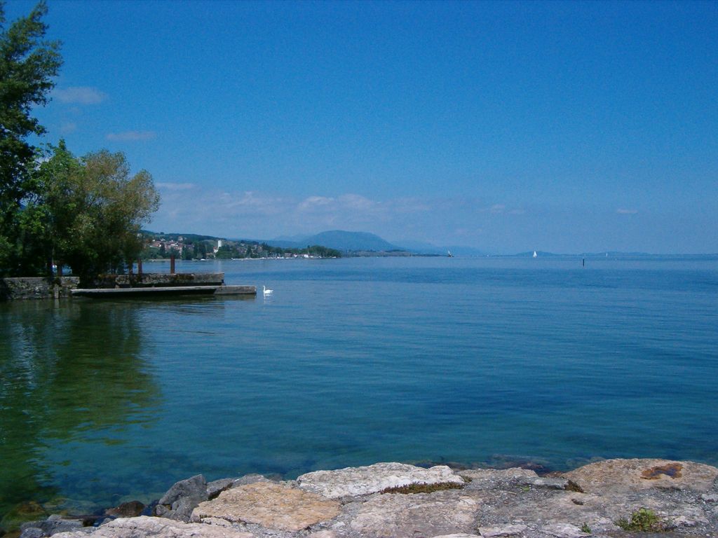
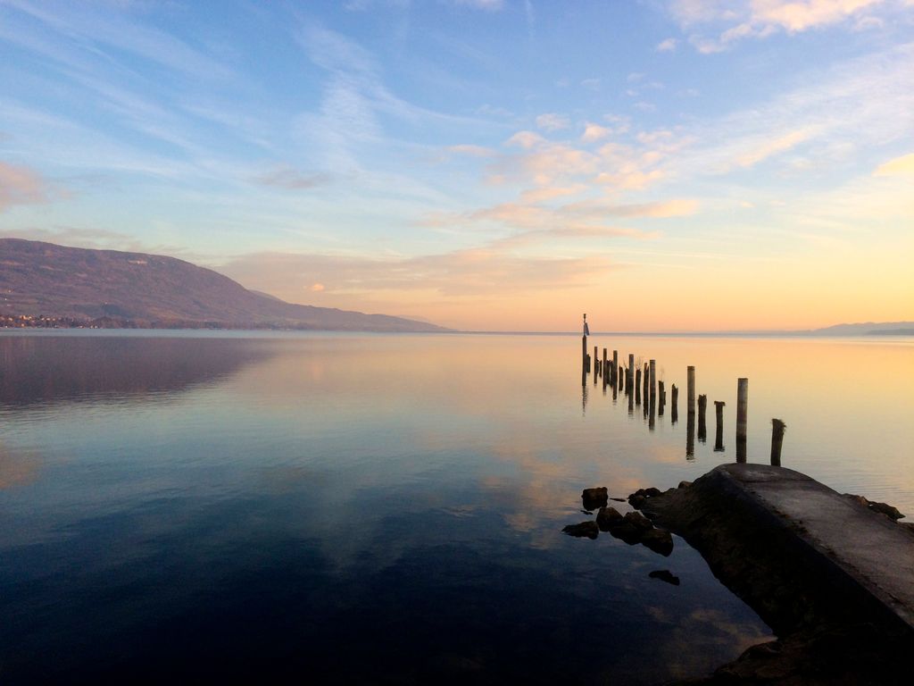
Lake Neuchâtel (French: Lac de Neuchâtel [lak də nøʃɑtɛl]; Arpitan: Lèc de Nôchâtél; German: Neuenburgersee) is a lake primarily in Romandy, the French-speaking part of Switzerland. The lake lies mainly in the canton of Neuchâtel, but is also shared by the cantons of Vaud, Fribourg, and Bern. It comprises one of the lakes in the Three Lakes Region (French: Pays des Trois-Lacs, German: Drei-Seen-Land), along with lakes Biel/Bienne and Morat/Murten. With a surface of 218.3 km2 (84 sq mi), Lake Neuchâtel is the largest lake located entirely in Switzerland and the 59th largest lake in Europe. It is 38.3 km (23.8 mi) long and 8.2 km (5.1 mi) at its widest. Its surface is 429 metres (1,407 ft) above sea level, and the maximum depth is 152 metres (499 ft). The total water volume is 14.0 km3 (3.4 cu mi). The lake's drainage area is approximately 2,670 km2 (1,031 sq mi) and its culminating point is Le Chasseron at 1,607 metres (5,272 ft). In comparison to the Lake Geneva region, the Lake Neuchatel shoreline has experienced significant economic development with the completion of the regional motorway network. It is also known to have housed a Celtic agglomeration on pile-dwellings called La Tène and which gives its name to the second Iron Age. The lake is fed by the rivers L'Orbe (called La Thielle or La Thièle locally, downstream of the city of Orbe), L'Arnon, L'Areuse, Le Seyon, and La Menthue, as well as by the Canal de la Broye. The Thielle Canal (French: Canal de la Thielle, German: Zihlkanal) drains the lake into Lake Biel and is part of regulation system for the lakes and the rivers of the Seeland region. Lake Neuchâtel was the home of the now extinct species of deepwater trout Salvelinus neocomensis.
We use GPS information embedded into the photo when it is available.
3D mountains overlay
Adjust mountain panorama to perfectly match your photos because recorded by camera photo position might be imprecise.
Move tool
Rotate tool
Zoom
More customization
Choose which peak labels should make into the final photo and what photo title should be.
Next
Photo Location
Satellitte
Flat map
Relief map
Latitude
Longitude
Altitude
OR
Latitude
°'''
Longitude
°'''
Apply
Register Peak
Peak Name
Latitude
Longitude
Altitude
Register
Teleport
PeakVisor
This 3D model of Sagarmatha National Park in Nepal was made using the PeakVisor app topographic data. The mobile app features higher precision models worldwide, more topographic details, and works offline. Download PeakVisor maps today.
Download OBJ model
PeakVisor
The download should start shortly. If you find it useful please consider supporting the PeakVisor app.
PeakVisor for iOS and Android
Be a superhero of outdoor navigation with state-of-the-art 3D maps and mountain identification in the palm of your hand!