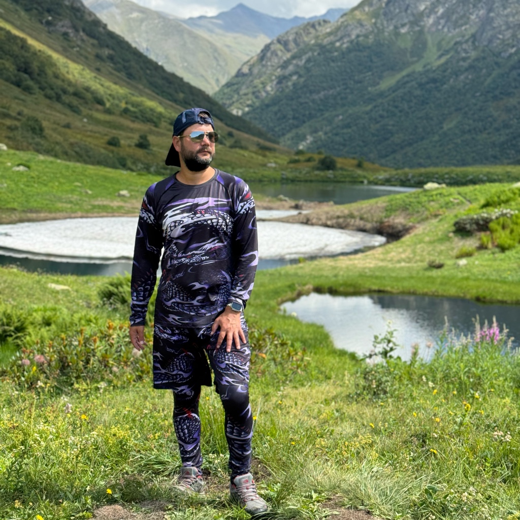
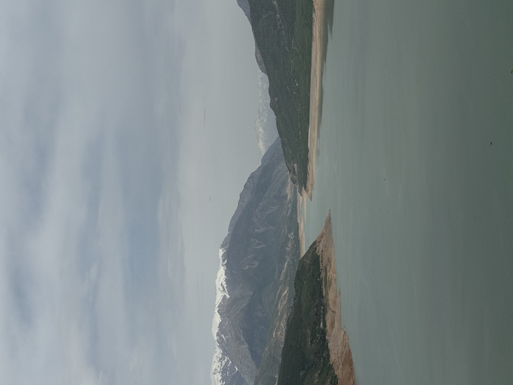
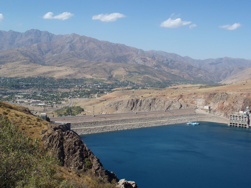
Lake Charvak (Uzbek: Chorvoq; from چهارباغ Char bagh, "four gardens" in Persian) is a water reservoir in Boʻstonliq District in the northern part of Tashkent Region, Uzbekistan, separating Ugam (north), Pskem (east), and Chatkal (south) ranges. The reservoir was created by erecting a 168 m (551 ft) high stone dam (Charvak Hydropower Station) on the river Chirchiq, a short distance downstream from the confluence of Pskem, Koʻksuv and Chatkal rivers in the western Tian Shan mountains, which provide the main volume of water. Currently the confluence cannot be seen and all three rivers discharge directly into Charvak. The reservoir capacity is 2 km3 (0.48 cu mi). Lake Charvak is the uppermost of the several reservoirs made on the Chirchiq River. Downstream, there are Khodzhikent Reservoir and Gazalkent Reservoir, which have a much smaller area. The dam construction was started in 1964 and completed in 1970. About 150 archaeological sites were submerged under water when the reservoir was filled up. These sites were investigated by the Institute of History and Archaeology of Uzbekistan before the dam was constructed. Lake Charvak is a popular resort in Tashkent region and thousands of holiday makers from all over Uzbekistan and neighbouring countries visit the reservoir. Villages on the banks of Charvak such as Yusufhona, Burchmullo, Nanay, Chorvoq, Sidjak, Bogʻiston, and their surroundings offer wide range of hotels, dachas, houses and tapchans to accommodate tourists. Yusufhona is also a popular place among paragliders and provides facilities for this sport.
We use GPS information embedded into the photo when it is available.
3D mountains overlay
Adjust mountain panorama to perfectly match your photos because recorded by camera photo position might be imprecise.
Move tool
Rotate tool
Zoom
More customization
Choose which peak labels should make into the final photo and what photo title should be.
Next
Photo Location
Satellitte
Flat map
Relief map
Latitude
Longitude
Altitude
OR
Latitude
°'''
Longitude
°'''
Apply
Register Peak
Peak Name
Latitude
Longitude
Altitude
Register
Teleport
PeakVisor
This 3D model of Sagarmatha National Park in Nepal was made using the PeakVisor app topographic data. The mobile app features higher precision models worldwide, more topographic details, and works offline. Download PeakVisor maps today.
Download OBJ model
PeakVisor
The download should start shortly. If you find it useful please consider supporting the PeakVisor app.
PeakVisor for iOS and Android
Be a superhero of outdoor navigation with state-of-the-art 3D maps and mountain identification in the palm of your hand!