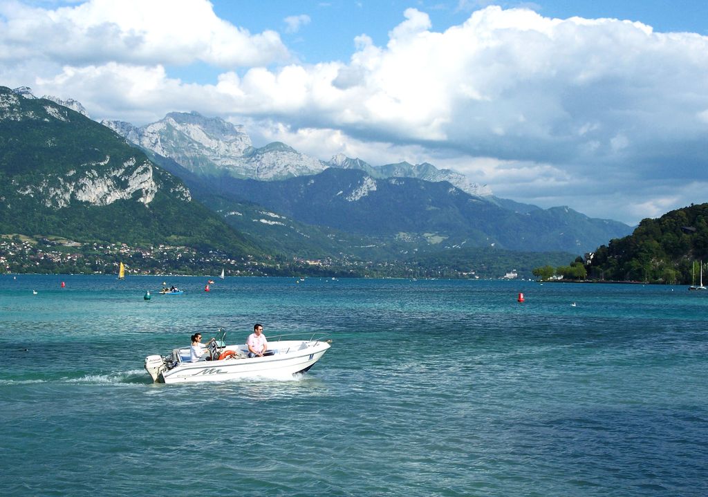
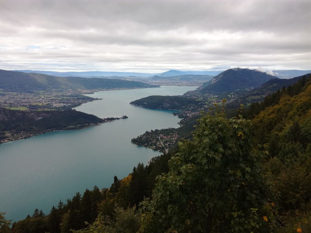
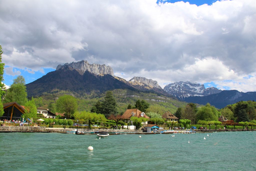
Lake Annecy (French: Lac d'Annecy, French pronunciation: [lak dansi]) is a perialpine lake in Haute-Savoie in France. It is named after the city of Annecy, which marks the start of the Thiou, Lake Annecy's outflow river.: 958 It is the third-largest lake in France, after the Lac du Bourget and Lac de Grand-Lieu, if the French part of Lake Geneva, which is shared between Switzerland and France, is excluded. It is a popular tourist destination known for its swimming and water sports. The lake was formed about 18,000 years ago, at the time the large alpine glaciers melted. It is fed by many small rivers from the surrounding mountains (Ire, Eau morte, Laudon, Bornette and Biolon) and a powerful underwater source, the Boubioz, at an 82-metre depth (269 ft).
We use GPS information embedded into the photo when it is available.
3D mountains overlay
Adjust mountain panorama to perfectly match your photos because recorded by camera photo position might be imprecise.
Move tool
Rotate tool
Zoom
More customization
Choose which peak labels should make into the final photo and what photo title should be.
Next
Photo Location
Satellitte
Flat map
Relief map
Latitude
Longitude
Altitude
OR
Latitude
°'''
Longitude
°'''
Apply
Register Peak
Peak Name
Latitude
Longitude
Altitude
Register
Teleport
PeakVisor
This 3D model of Sagarmatha National Park in Nepal was made using the PeakVisor app topographic data. The mobile app features higher precision models worldwide, more topographic details, and works offline. Download PeakVisor maps today.
Download OBJ model
PeakVisor
The download should start shortly. If you find it useful please consider supporting the PeakVisor app.
PeakVisor for iOS and Android
Be a superhero of outdoor navigation with state-of-the-art 3D maps and mountain identification in the palm of your hand!


.jpg)


