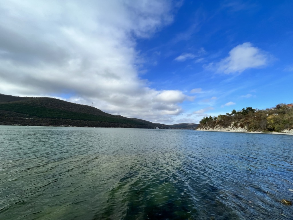
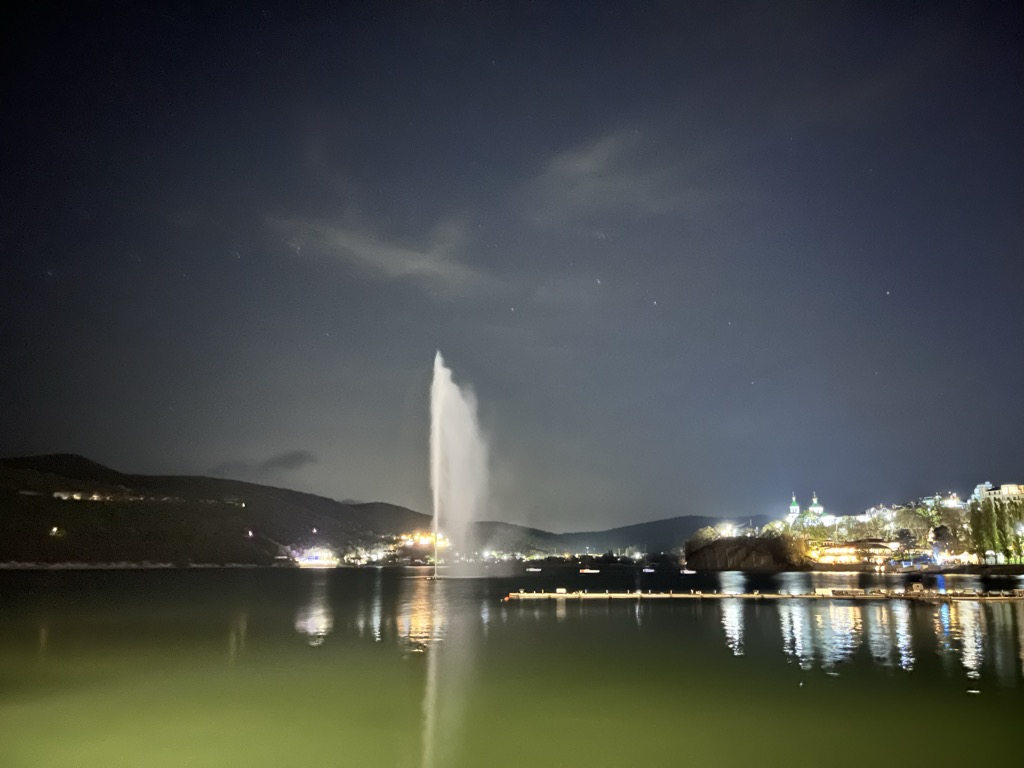
Abrau (Russian: Абрау; from the Abkhaz word for "sinkhole") is a karst lake in Russia, the largest in Krasnodar Krai. It lies at 84 metres above sea level, among the foothills of the Forecaucasus, about 14 kilometres from the Black Sea port of Novorossiysk. The lake is approximately 2,600 metres long and 600 metres wide. In the early 20th century, the lake was reported to be 35 metres deep; today the deepest point is at 20 metres. Lake Abrau has no outlet. The basin of the lake is a major wine-growing region; there are numerous wineries in the lakeside village of Abrau-Dyurso.
We use GPS information embedded into the photo when it is available.
3D mountains overlay
Adjust mountain panorama to perfectly match your photos because recorded by camera photo position might be imprecise.
Move tool
Rotate tool
Zoom
More customization
Choose which peak labels should make into the final photo and what photo title should be.
Next
Photo Location
Satellitte
Flat map
Relief map
Latitude
Longitude
Altitude
OR
Latitude
°'''
Longitude
°'''
Apply
Register Peak
Peak Name
Latitude
Longitude
Altitude
Register
Teleport
PeakVisor
This 3D model of Sagarmatha National Park in Nepal was made using the PeakVisor app topographic data. The mobile app features higher precision models worldwide, more topographic details, and works offline. Download PeakVisor maps today.
Download OBJ model
PeakVisor
The download should start shortly. If you find it useful please consider supporting the PeakVisor app.
PeakVisor for iOS and Android
Be a superhero of outdoor navigation with state-of-the-art 3D maps and mountain identification in the palm of your hand!