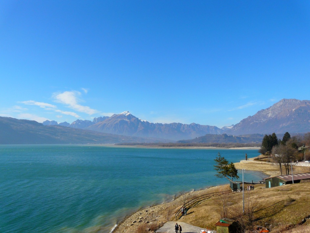
The Lago di Santa Croce is a semi-natural lake in the province of Belluno, Veneto, northern Italy. It is part of the communes of Alpago and Ponte nelle Alpi. The lake is located at 386 metres (1,266 feet) ASL and currently has an area of 7.2 square kilometres (2.8 sq mi), with an average depth of 33 metres (108 feet). It was originally naturally a smaller lake, but was expanded with a dam during the 1930s. Outlets of the lake include the Piave. The area is quite a windy location and as such is a popular sailing, watersports and kitesurfing location.
We use GPS information embedded into the photo when it is available.
3D mountains overlay
Adjust mountain panorama to perfectly match your photos because recorded by camera photo position might be imprecise.
Move tool
Rotate tool
Zoom
More customization
Choose which peak labels should make into the final photo and what photo title should be.
Next
Photo Location
Satellitte
Flat map
Relief map
Latitude
Longitude
Altitude
OR
Latitude
°'''
Longitude
°'''
Apply
Register Peak
Peak Name
Latitude
Longitude
Altitude
Register
Teleport
PeakVisor
This 3D model of Sagarmatha National Park in Nepal was made using the PeakVisor app topographic data. The mobile app features higher precision models worldwide, more topographic details, and works offline. Download PeakVisor maps today.
Download OBJ model
PeakVisor
The download should start shortly. If you find it useful please consider supporting the PeakVisor app.
PeakVisor for iOS and Android
Be a superhero of outdoor navigation with state-of-the-art 3D maps and mountain identification in the palm of your hand!