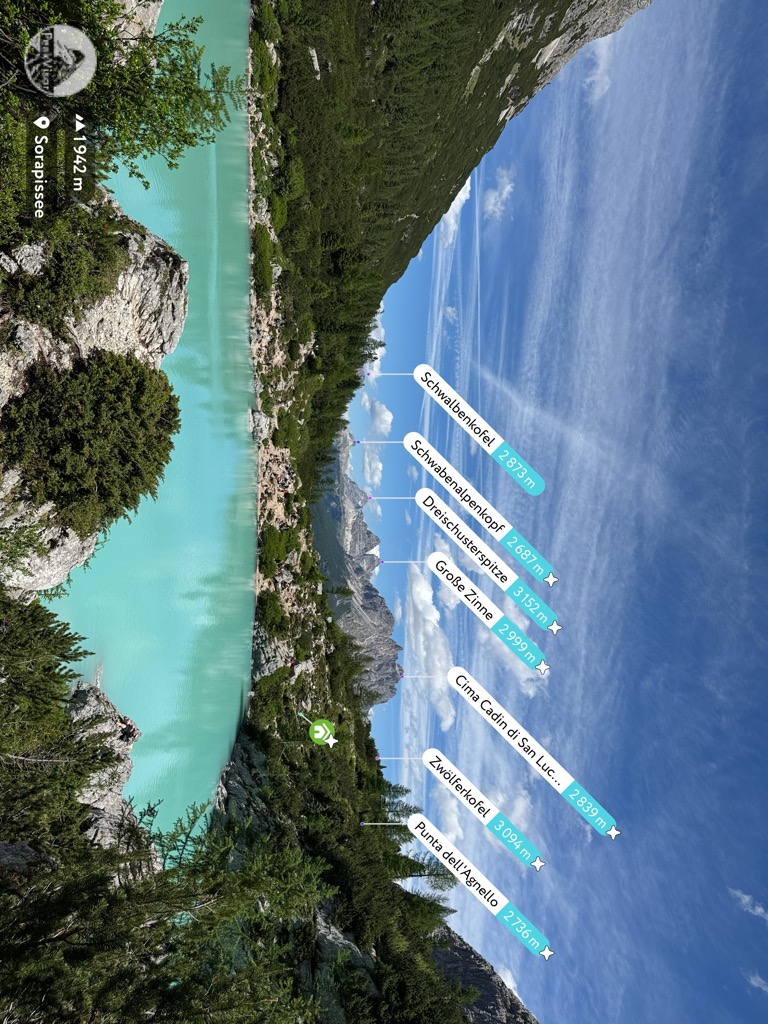
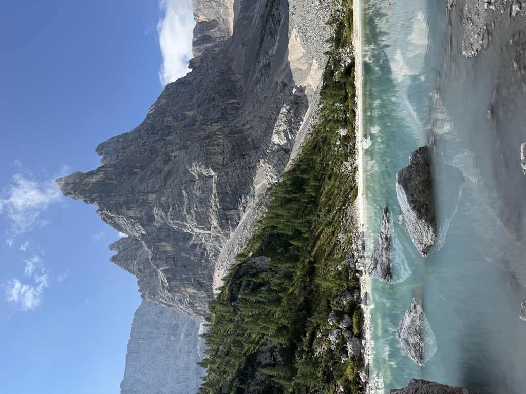
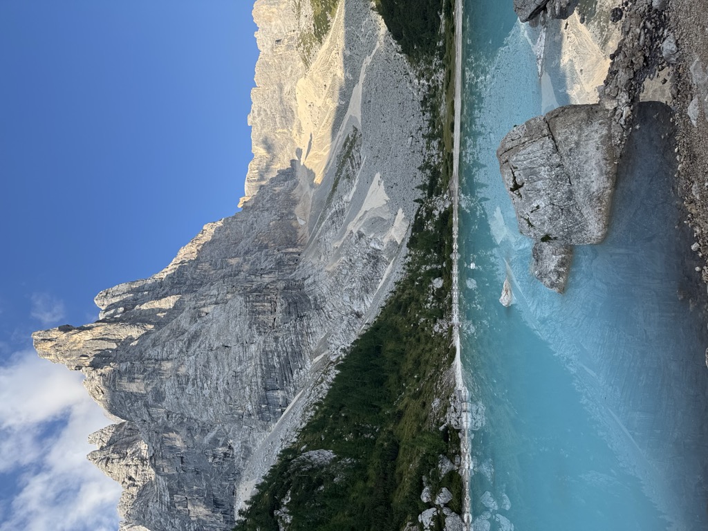
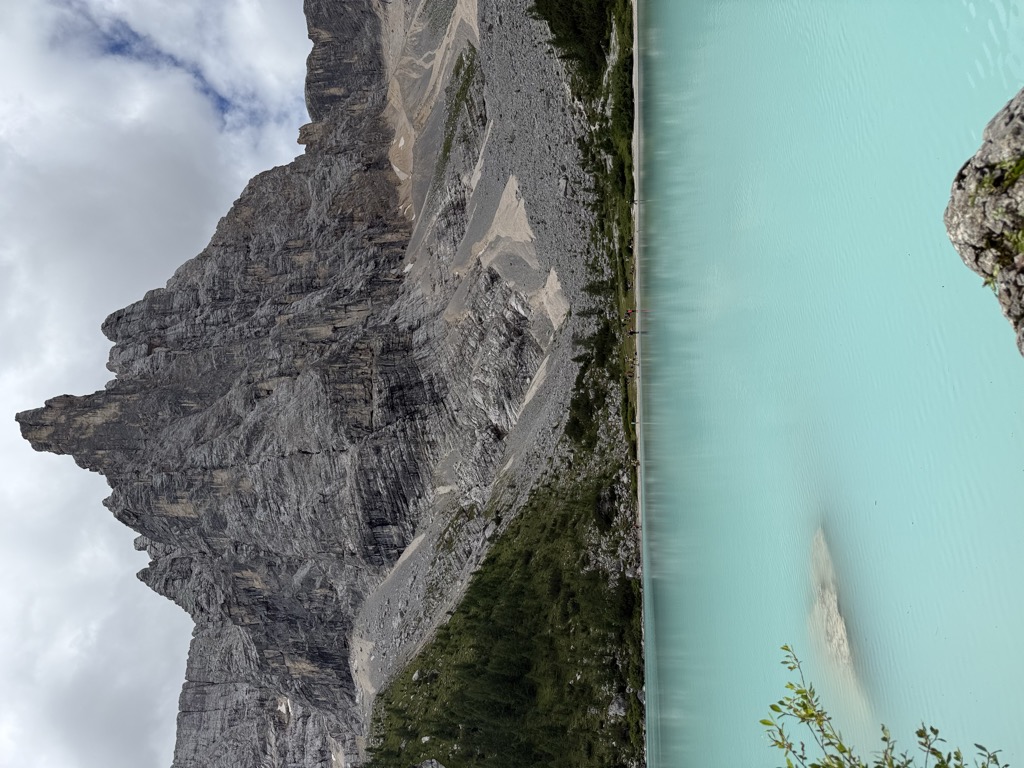
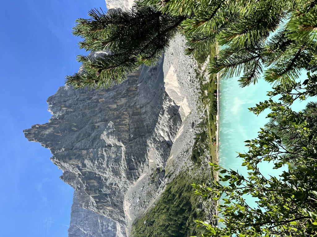
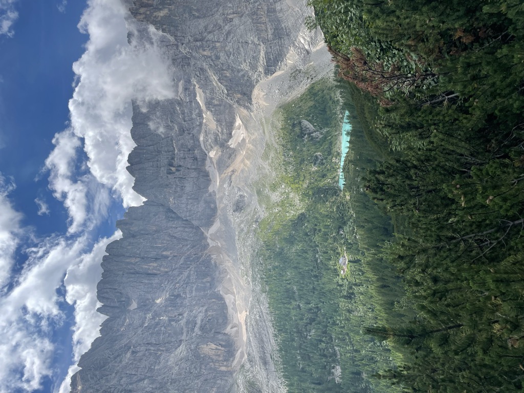
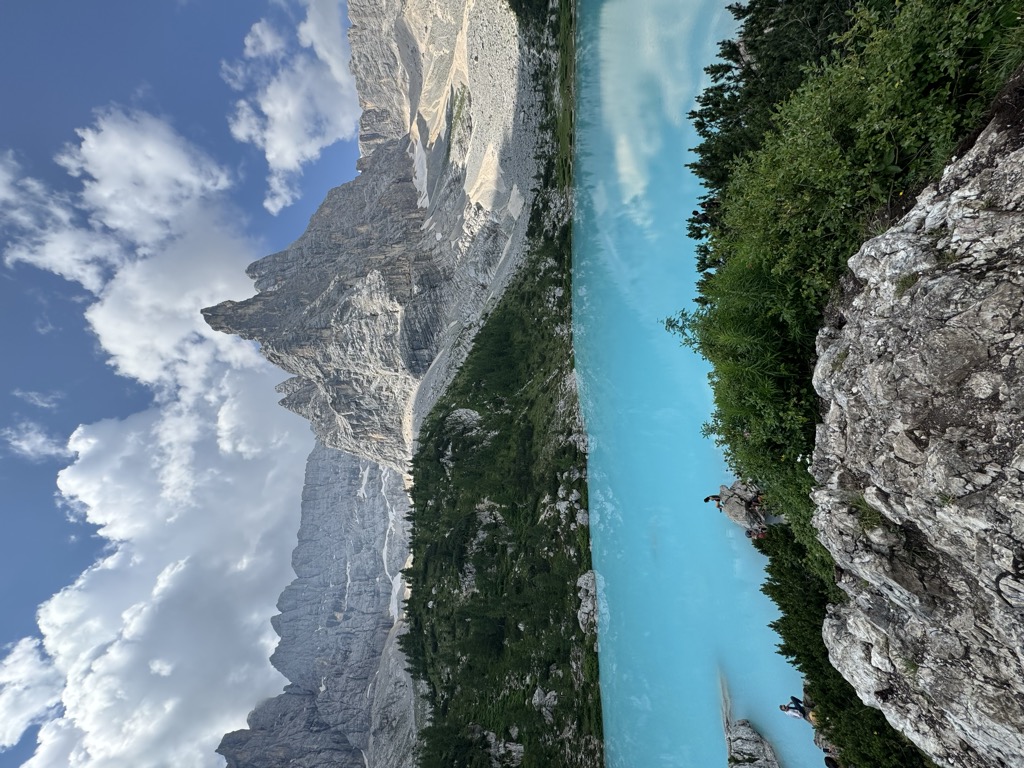
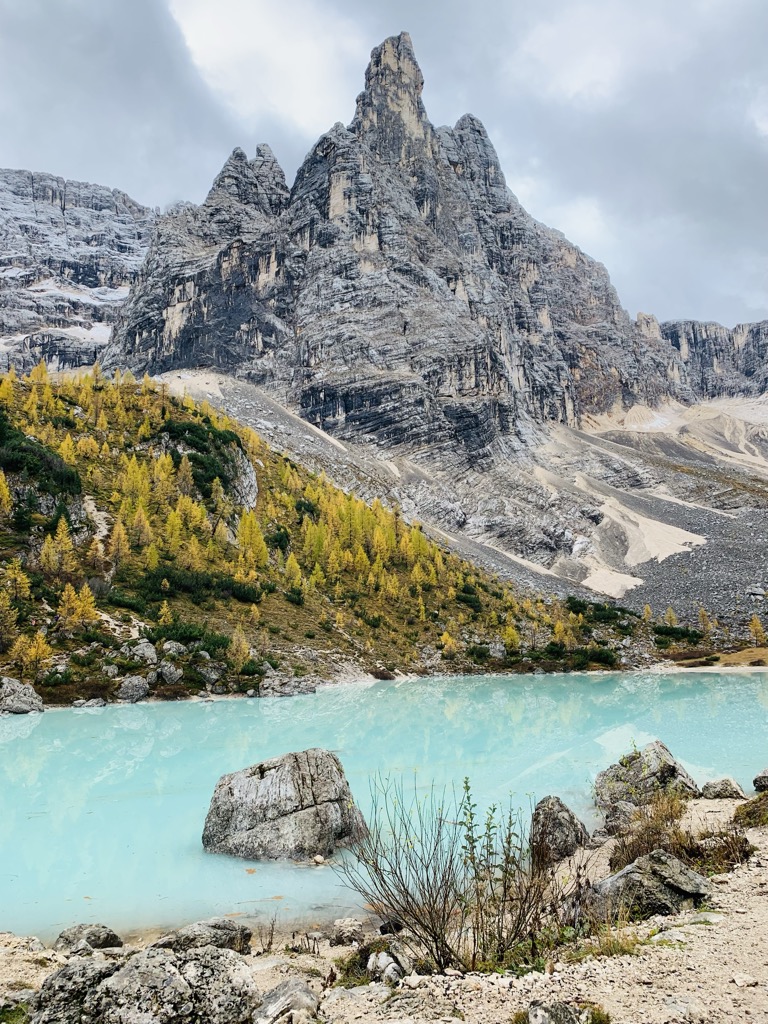
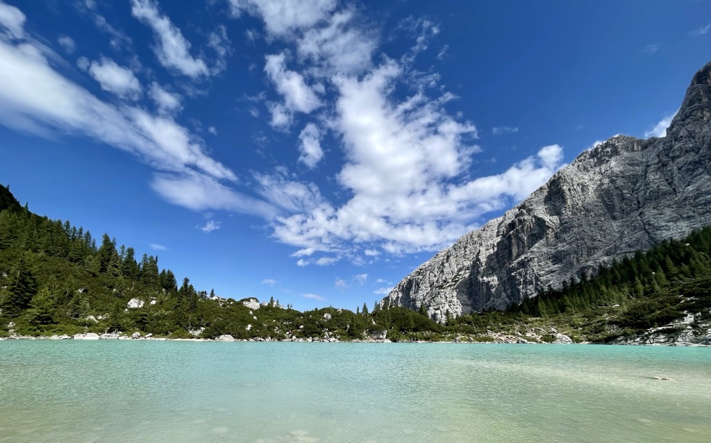
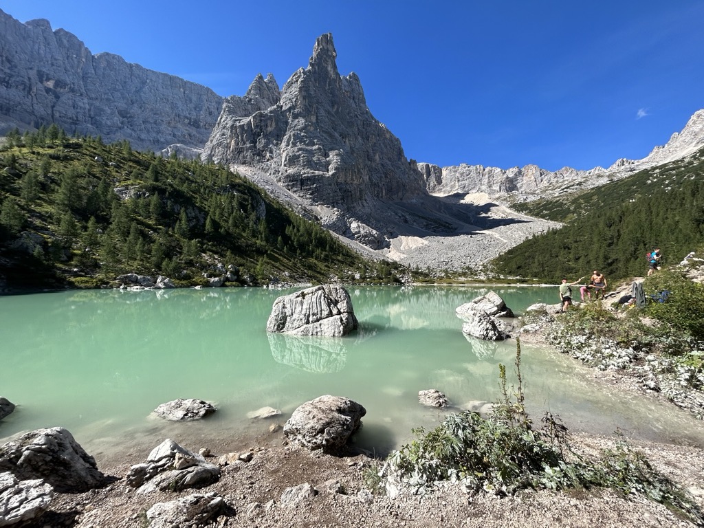
Lago di Sorapiss (Italian: Lago di Sorapiss; German: Sorapissee) is a lake in the mountain range Sorapiss in the Dolomites, province of Belluno, c. 12 km away from Cortina d'Ampezzo. The lake has an altitude of 1,925 metres (6,316 ft.) above sea level. The strong turquoise color is dust from the glacier. The lake can only be reached by foot or by helicopter. The hiking trail has a length of 10.5 km and takes 1.5 hours one way starting from Passo tre Croci. Also the hikes Alta Via 3 and Alta Via 4 lead around Lake Sorapis.
We use GPS information embedded into the photo when it is available.
3D mountains overlay
Adjust mountain panorama to perfectly match your photos because recorded by camera photo position might be imprecise.
Move tool
Rotate tool
Zoom
More customization
Choose which peak labels should make into the final photo and what photo title should be.
Next
Photo Location
Satellitte
Flat map
Relief map
Latitude
Longitude
Altitude
OR
Latitude
°'''
Longitude
°'''
Apply
Register Peak
Peak Name
Latitude
Longitude
Altitude
Register
Teleport
PeakVisor
This 3D model of Sagarmatha National Park in Nepal was made using the PeakVisor app topographic data. The mobile app features higher precision models worldwide, more topographic details, and works offline. Download PeakVisor maps today.
Download OBJ model
PeakVisor
The download should start shortly. If you find it useful please consider supporting the PeakVisor app.
PeakVisor for iOS and Android
Be a superhero of outdoor navigation with state-of-the-art 3D maps and mountain identification in the palm of your hand!