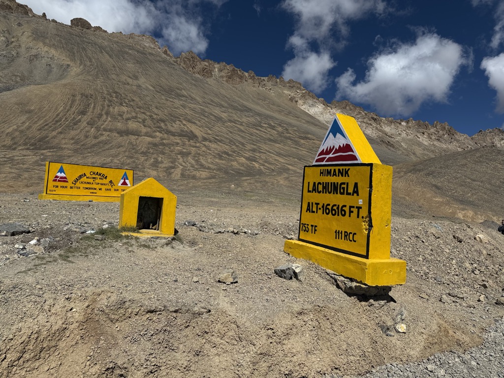
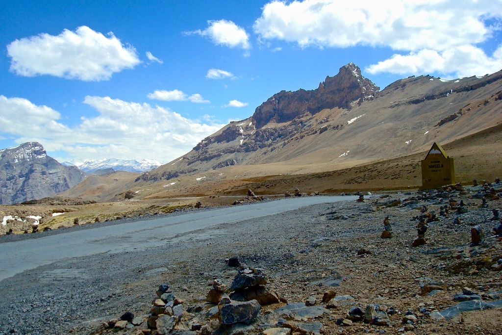
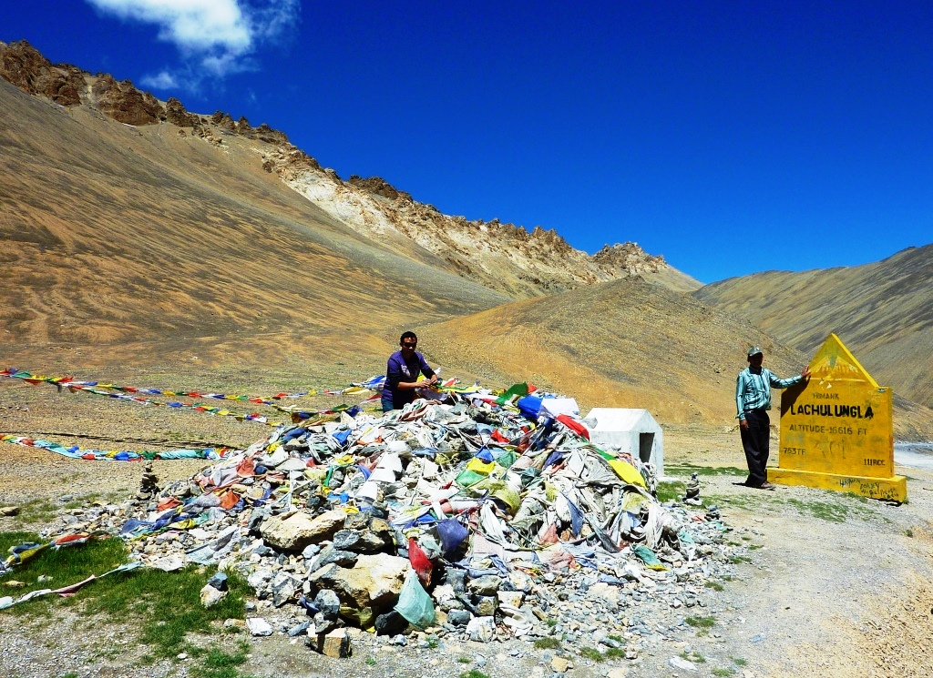
Lachulung La (el. 5,059 m or 16,600 ft), or Lāchālūng La or Lungalacha La, is a paved motorable mountain pass in Ladakh in India just north of border with Himachal Pradesh. It is located on the NH3 Leh–Manali Highway, 54 km (34 mi) north of Sarchu and 24 km (15 mi) west of Pang. Rail-cum-road tunnel is being constructed under this pass to cater for the traffic for existing NH3 & under-construction Bhanupli–Leh line, Bara-lacha la (84 km south of Lungalacha La) and Taglang La (87 km north of Lungalacha La) are other tunnels being constructed on this route. This is one of the easier 16,000 ft (4,880 m) passes and it can be traversed cross-country by moving along the nala on both sides. However, due to elevation, the hikers face breathlessness during climb and those who have not undergone acclimatisation may face severe symptoms of altitude sickness.
We use GPS information embedded into the photo when it is available.
3D mountains overlay
Adjust mountain panorama to perfectly match your photos because recorded by camera photo position might be imprecise.
Move tool
Rotate tool
Zoom
More customization
Choose which peak labels should make into the final photo and what photo title should be.
Next
Photo Location
Satellitte
Flat map
Relief map
Latitude
Longitude
Altitude
OR
Latitude
°'''
Longitude
°'''
Apply
Register Peak
Peak Name
Latitude
Longitude
Altitude
Register
Teleport
PeakVisor
This 3D model of Sagarmatha National Park in Nepal was made using the PeakVisor app topographic data. The mobile app features higher precision models worldwide, more topographic details, and works offline. Download PeakVisor maps today.
Download OBJ model
PeakVisor
The download should start shortly. If you find it useful please consider supporting the PeakVisor app.
PeakVisor for iOS and Android
Be a superhero of outdoor navigation with state-of-the-art 3D maps and mountain identification in the palm of your hand!