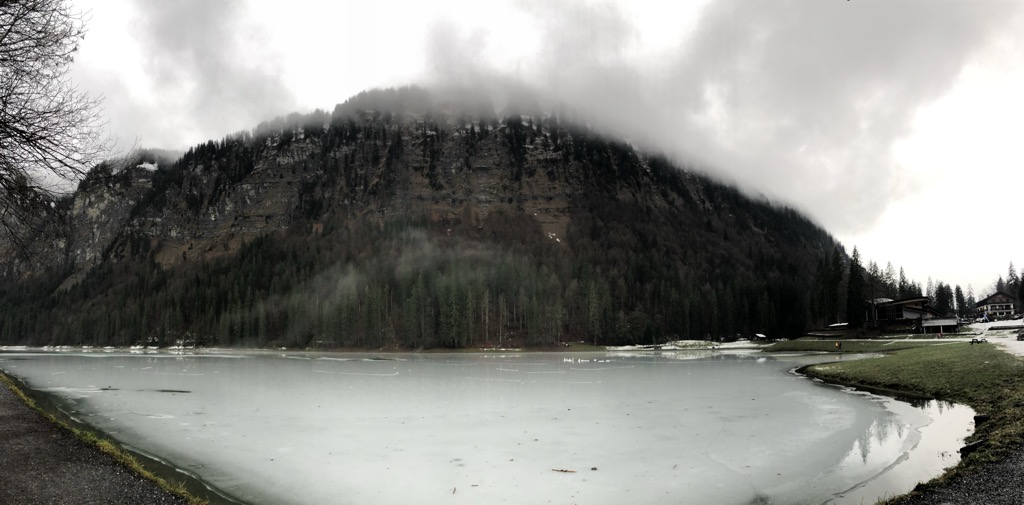
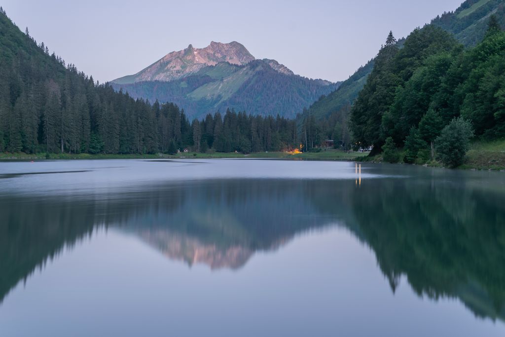
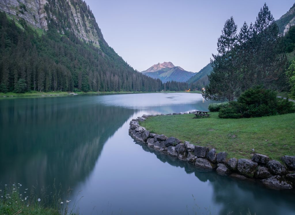
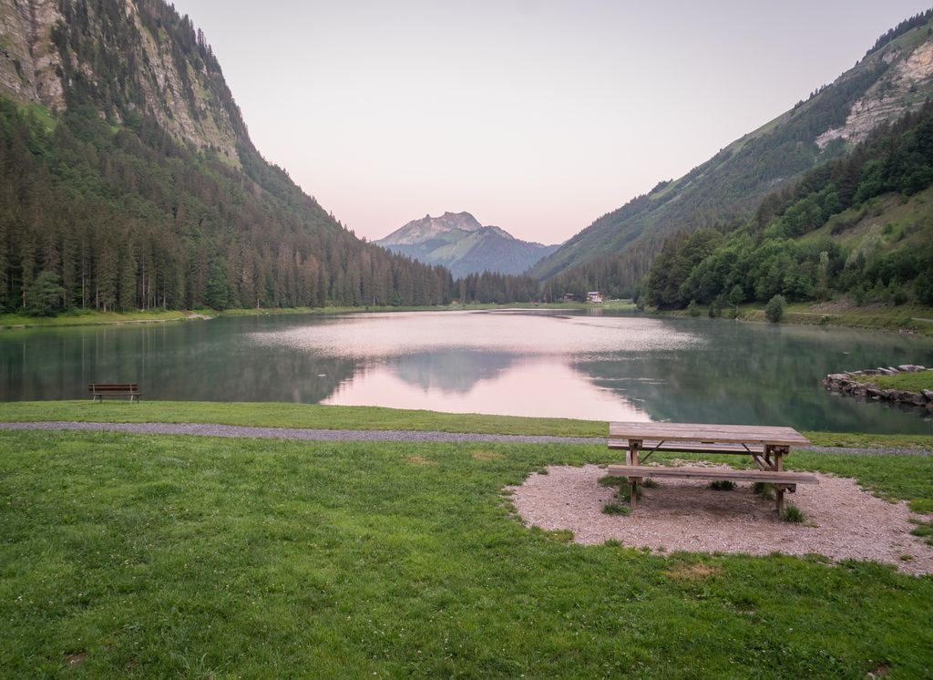
The Lac de Montriond (Lake of Montriond) is a lake in the Chablais Alps at Montriond in the Haute-Savoie department of France. It has a surface area of 32 hectares (79 acres). There is a circular path around the lake and several restaurants next to the D228 access road (which connects Montriond to Les Lindarets). In winter the lake surface frequently freezes over and the immediate area surrounding the lake experiences extremes of cold due to the topology of the surrounding area blocking most sunlight during the coldest months of winter. The Lac de Montriond has a minimum altitude of 1062m and maximum altitude of 1189m.
We use GPS information embedded into the photo when it is available.
3D mountains overlay
Adjust mountain panorama to perfectly match your photos because recorded by camera photo position might be imprecise.
Move tool
Rotate tool
Zoom
More customization
Choose which peak labels should make into the final photo and what photo title should be.
Next
Photo Location
Satellitte
Flat map
Relief map
Latitude
Longitude
Altitude
OR
Latitude
°'''
Longitude
°'''
Apply
Register Peak
Peak Name
Latitude
Longitude
Altitude
Register
Teleport
PeakVisor
This 3D model of Sagarmatha National Park in Nepal was made using the PeakVisor app topographic data. The mobile app features higher precision models worldwide, more topographic details, and works offline. Download PeakVisor maps today.
Download OBJ model
PeakVisor
The download should start shortly. If you find it useful please consider supporting the PeakVisor app.
PeakVisor for iOS and Android
Be a superhero of outdoor navigation with state-of-the-art 3D maps and mountain identification in the palm of your hand!