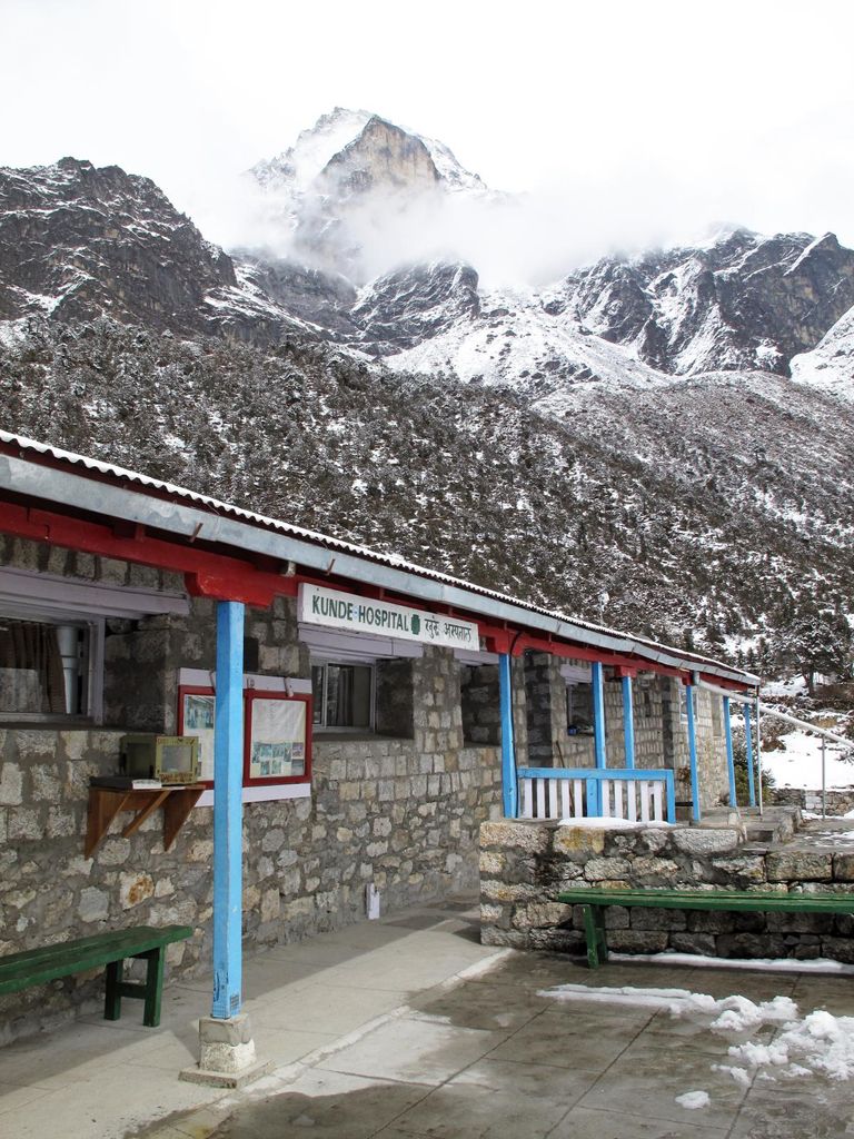
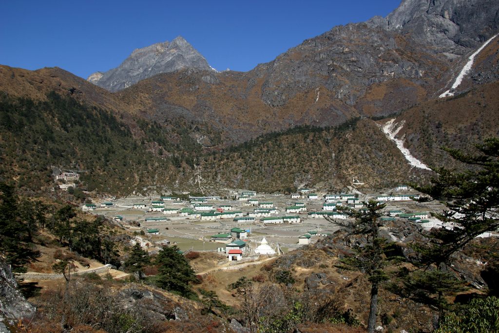
Khunde (Nepali: खुन्दे) is a village in the Khumbu region of Nepal within the Sagarmatha National Park. It is directly adjacent to Khumjung village in the valley at the foot of Khumbu Yül-Lha, the sacred mountain of the Sherpas. The Khumjung Valley is located between 3,800 m and 4,000 m above sea level. Khunde is located in the western part of the valley and slightly higher than Khumjung. It is the site of Kunde Hospital, founded by Sir Edmund Hillary in 1966. Khunde is located less than 25 km from Mount Everest and is situated in the Himalayas near the Nepal-China border.
We use GPS information embedded into the photo when it is available.
3D mountains overlay
Adjust mountain panorama to perfectly match your photos because recorded by camera photo position might be imprecise.
Move tool
Rotate tool
Zoom
More customization
Choose which peak labels should make into the final photo and what photo title should be.
Next
Photo Location
Satellitte
Flat map
Relief map
Latitude
Longitude
Altitude
OR
Latitude
°'''
Longitude
°'''
Apply
Register Peak
Peak Name
Latitude
Longitude
Altitude
Register
Teleport
PeakVisor
This 3D model of Sagarmatha National Park in Nepal was made using the PeakVisor app topographic data. The mobile app features higher precision models worldwide, more topographic details, and works offline. Download PeakVisor maps today.
Download OBJ model
PeakVisor
The download should start shortly. If you find it useful please consider supporting the PeakVisor app.
PeakVisor for iOS and Android
Be a superhero of outdoor navigation with state-of-the-art 3D maps and mountain identification in the palm of your hand!