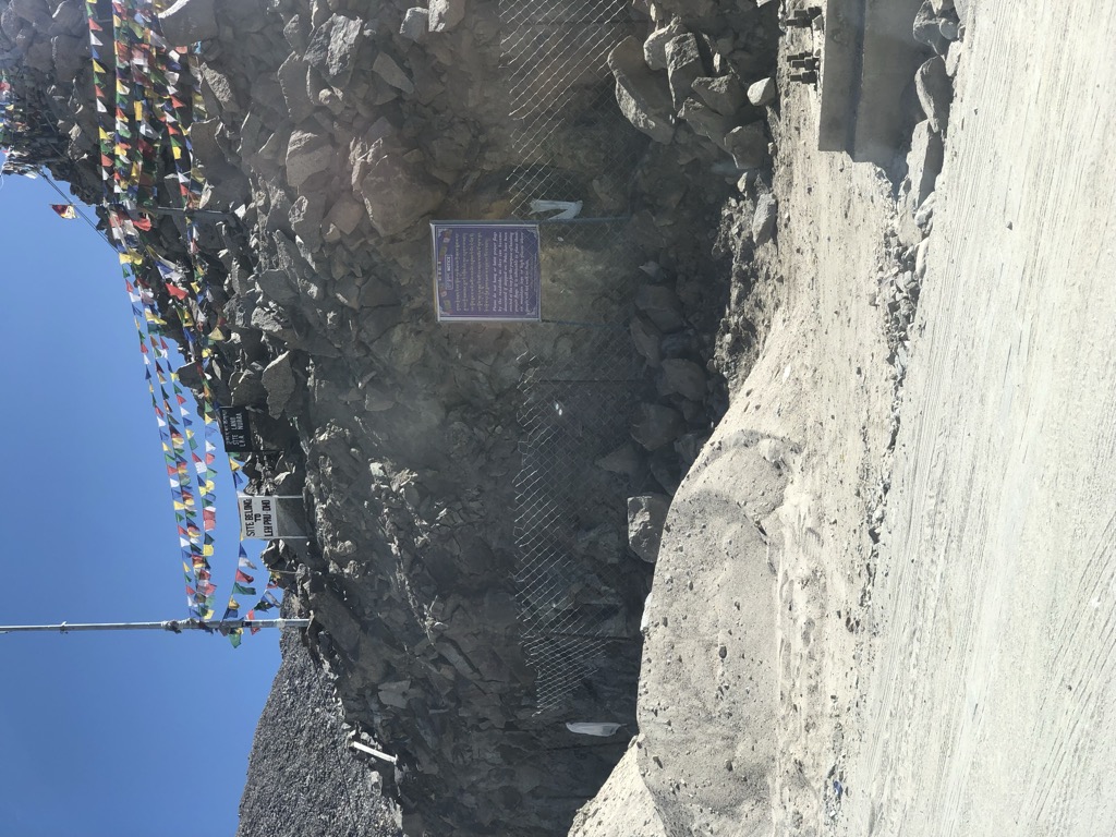
Khardung La (Tibetan: མཁར་གདོང་ལ་, Wylie: mkhar gdong la, THL: khar dong la) or Khardung Pass is a mountain pass in the Leh district of the Indian union territory of Ladakh. The pass is on the Ladakh Range, north of Leh, and connects the Indus river valley and the Shyok river valley. It also forms the gateway to the Nubra Valley, beyond which lies the Siachen Glacier. A motorable road through the pass was built in 1976, and opened to public motor vehicles in 1988. Maintained by the Border Roads Organisation, the pass is strategically important to India as it is used to carry supplies to the Siachen Glacier. The road is one of the world's highest motoroable roads. The elevation of Khardung La is 5,359 m (17,582 ft). Local summit signs and dozens of stores selling shirts in Leh incorrectly claim its elevation to be in the vicinity of 5,602 m (18,379 ft) and that it is the world's second highest motorable pass.
We use GPS information embedded into the photo when it is available.
3D mountains overlay
Adjust mountain panorama to perfectly match your photos because recorded by camera photo position might be imprecise.
Move tool
Rotate tool
Zoom
More customization
Choose which peak labels should make into the final photo and what photo title should be.
Next
Photo Location
Satellitte
Flat map
Relief map
Latitude
Longitude
Altitude
OR
Latitude
°'''
Longitude
°'''
Apply
Register Peak
Peak Name
Latitude
Longitude
Altitude
Register
Teleport
PeakVisor
This 3D model of Sagarmatha National Park in Nepal was made using the PeakVisor app topographic data. The mobile app features higher precision models worldwide, more topographic details, and works offline. Download PeakVisor maps today.
Download OBJ model
PeakVisor
The download should start shortly. If you find it useful please consider supporting the PeakVisor app.
PeakVisor for iOS and Android
Be a superhero of outdoor navigation with state-of-the-art 3D maps and mountain identification in the palm of your hand!


%2C_Ladakh%2C_North_India.jpg)
%2C_Ladakh%2C_North_India.jpg)
%2C_Checkpoint%2C_Army%2C_Ladakh%2C_North_India.jpg)


