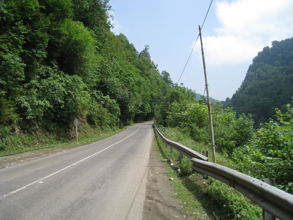
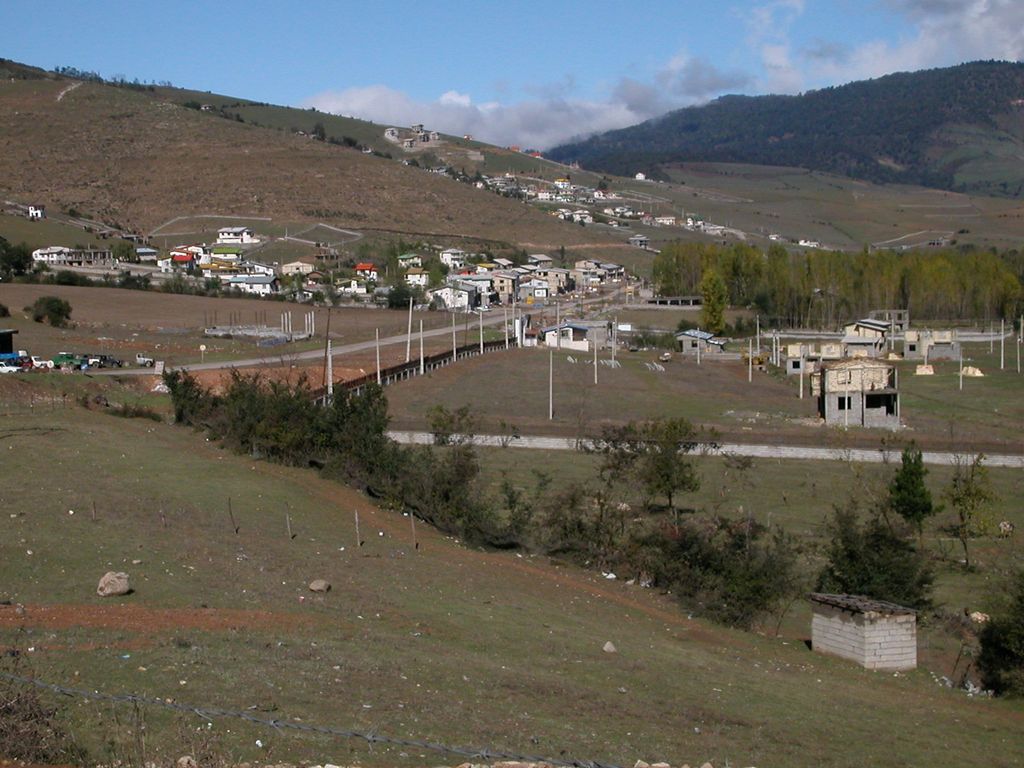
Kelardasht (Persian: كلاردشت) is a city in the Central District of Kelardasht County, Mazandaran province, Iran, serving as capital of both the county and the district. At the 2006 census, its population was 11,921 in 3,361 households, when it was in the former Kelardasht District of Chalus County. The following census in 2011 counted 9,122 people in 2,809 households. The latest census in 2016 showed a population of 13,401 people in 4,565 households, by which time the district had separated from the county in the establishment of Kelardasht County. The city comprises 5 districts (Hasankif, Lahoo, Kordichal, Valbal and Rudbarak, Mazandaran). Hasankif has been the business district for many years and is currently also the political center. Originally a farming area, in recent years much of its land was sold in small lots to build numerous villas which are occupied by summer visitors trying to escape the heat of Tehran and points further south. Its attractions include Alamkuh Mountain (the second tallest peak in Iran at 4850m), Abbasabad Road, Valasht lake and cooler climate. Picnicking and mountain climbing in the area surrounding Rudbarak, Mazandaran, Mazandaran are also popular, as well as in the Abbasabad Forest nearby. The majority of the inhabitants speak Mazandarani and Gilaki, but a few migrants speak Kurdish.
We use GPS information embedded into the photo when it is available.
3D mountains overlay
Adjust mountain panorama to perfectly match your photos because recorded by camera photo position might be imprecise.
Move tool
Rotate tool
Zoom
More customization
Choose which peak labels should make into the final photo and what photo title should be.
Next
Photo Location
Satellitte
Flat map
Relief map
Latitude
Longitude
Altitude
OR
Latitude
°'''
Longitude
°'''
Apply
Register Peak
Peak Name
Latitude
Longitude
Altitude
Register
Teleport
PeakVisor
This 3D model of Sagarmatha National Park in Nepal was made using the PeakVisor app topographic data. The mobile app features higher precision models worldwide, more topographic details, and works offline. Download PeakVisor maps today.
Download OBJ model
PeakVisor
The download should start shortly. If you find it useful please consider supporting the PeakVisor app.
PeakVisor for iOS and Android
Be a superhero of outdoor navigation with state-of-the-art 3D maps and mountain identification in the palm of your hand!