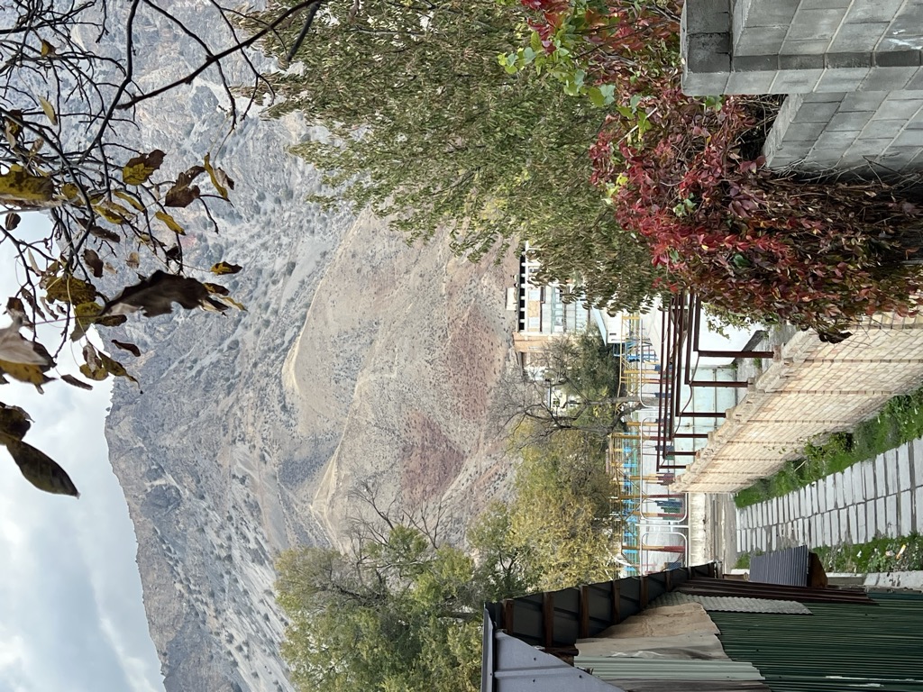
Kara-Köl (Kyrgyz: Кара-Көл; Russian: Кара-Куль Kara-Kulʼ) is a city in Jalal-Abad Region of Kyrgyzstan. It is a city of regional significance, not part of a district. Its area is 1,050 square kilometres (410 sq mi), and its resident population was 26,901 in 2021. Kara-Köl consists of the town proper, the urban-type settlement Ketmen-Töbö and the village Jazy-Kechüü. Located on the river Naryn, downstream (southwest) of the Toktogul Dam, the city was built in the 1960s to house the construction workers for the dam, and granted city status in 1977. Currently, it is home to the staff of the hydroelectric plant. From the reservoir to Tash-Kömür the river flows through a gorge with a series of dams (the 'Lower Naryn Cascade'). The city is on the M41, near the Bishkek-Osh highway.
We use GPS information embedded into the photo when it is available.
3D mountains overlay
Adjust mountain panorama to perfectly match your photos because recorded by camera photo position might be imprecise.
Move tool
Rotate tool
Zoom
More customization
Choose which peak labels should make into the final photo and what photo title should be.
Next
Photo Location
Satellitte
Flat map
Relief map
Latitude
Longitude
Altitude
OR
Latitude
°'''
Longitude
°'''
Apply
Register Peak
Peak Name
Latitude
Longitude
Altitude
Register
Teleport
PeakVisor
This 3D model of Sagarmatha National Park in Nepal was made using the PeakVisor app topographic data. The mobile app features higher precision models worldwide, more topographic details, and works offline. Download PeakVisor maps today.
Download OBJ model
PeakVisor
The download should start shortly. If you find it useful please consider supporting the PeakVisor app.
PeakVisor for iOS and Android
Be a superhero of outdoor navigation with state-of-the-art 3D maps and mountain identification in the palm of your hand!