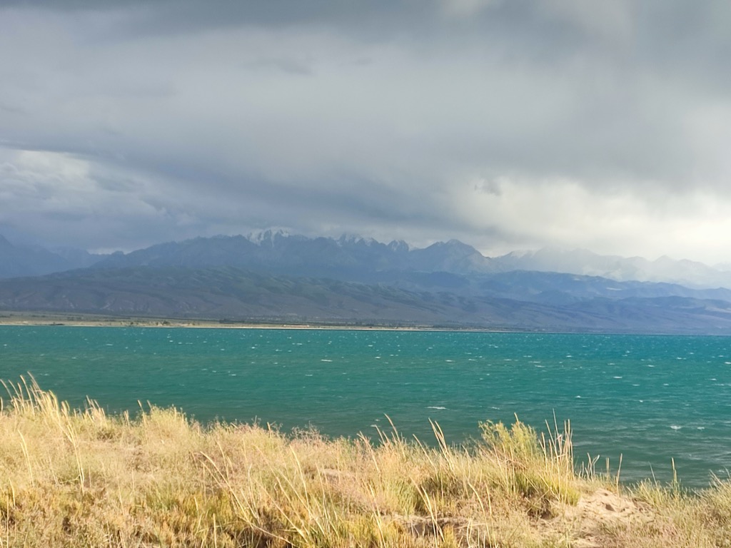
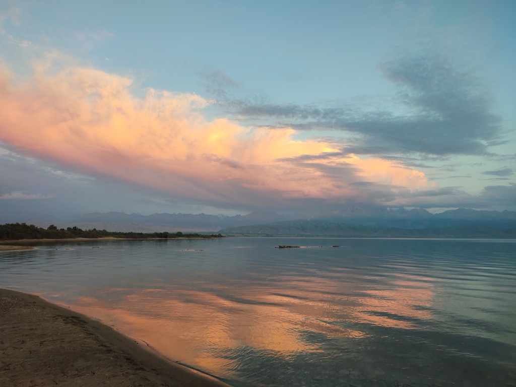
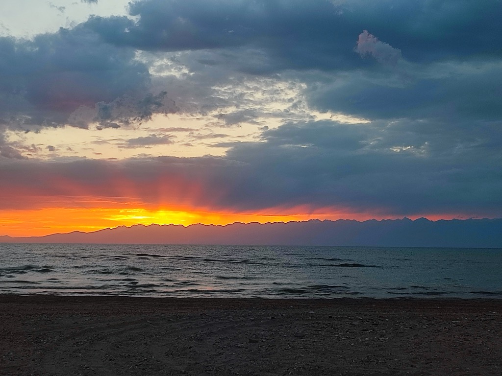
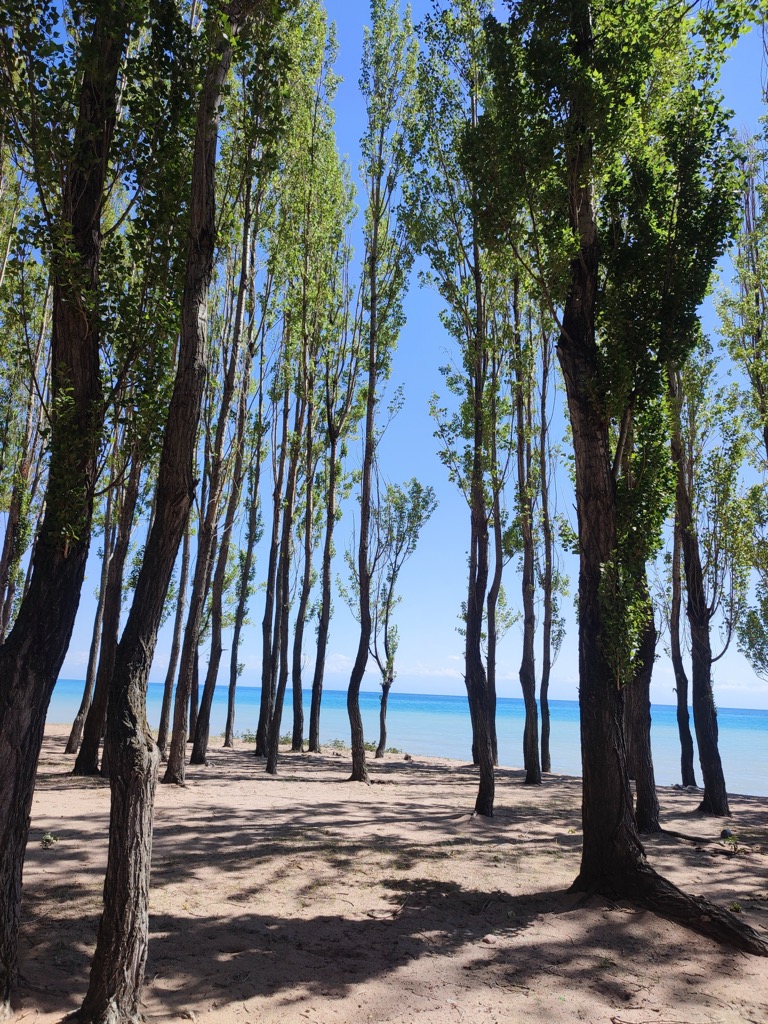
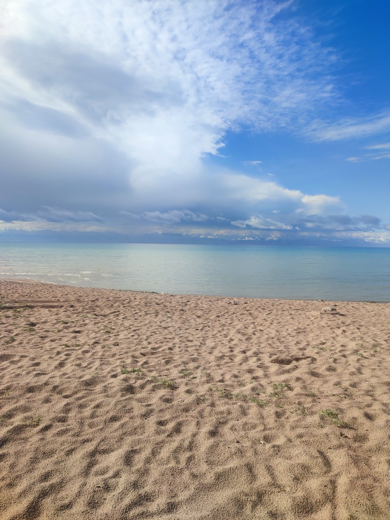
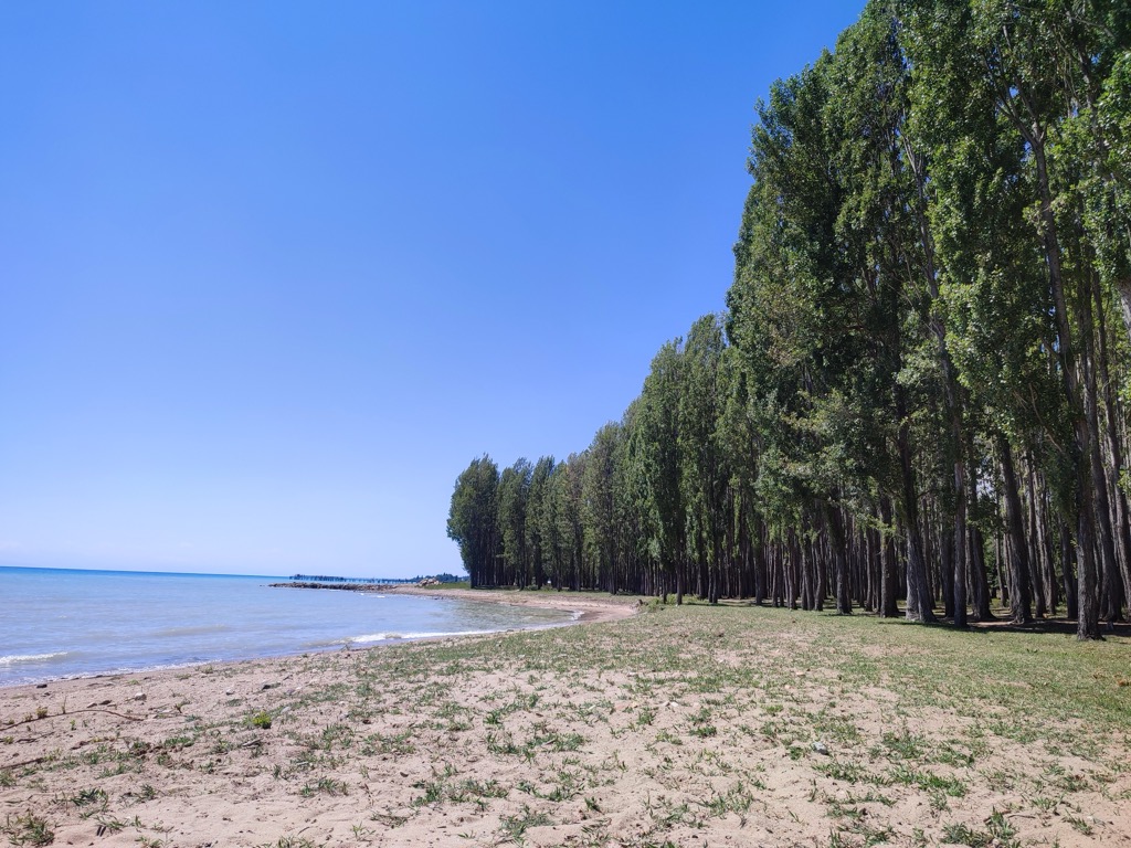
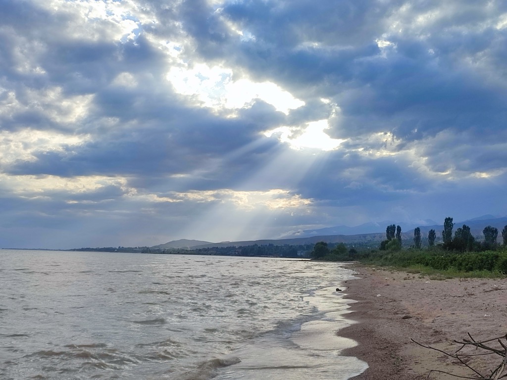
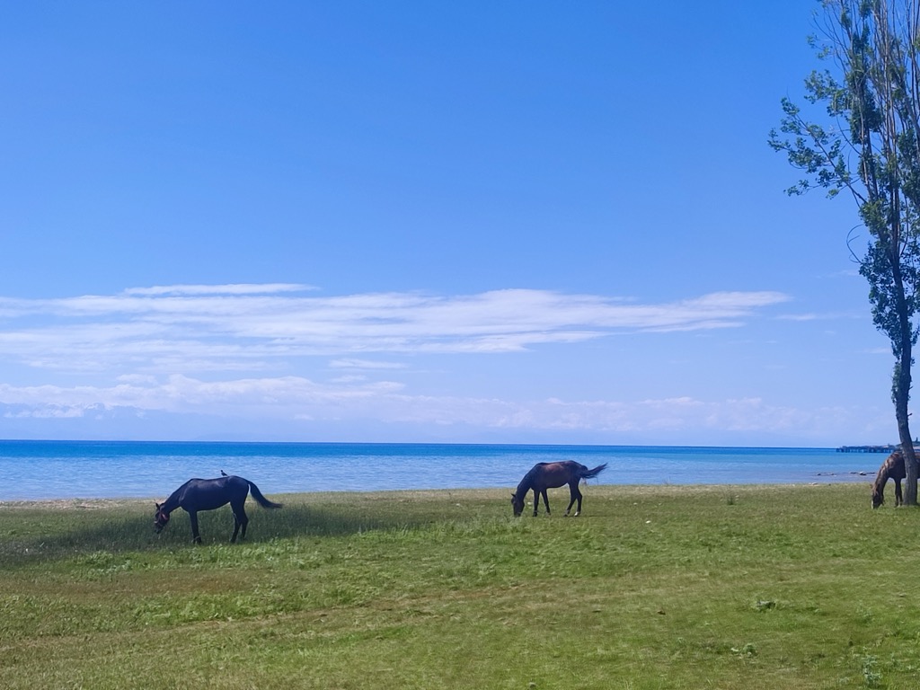
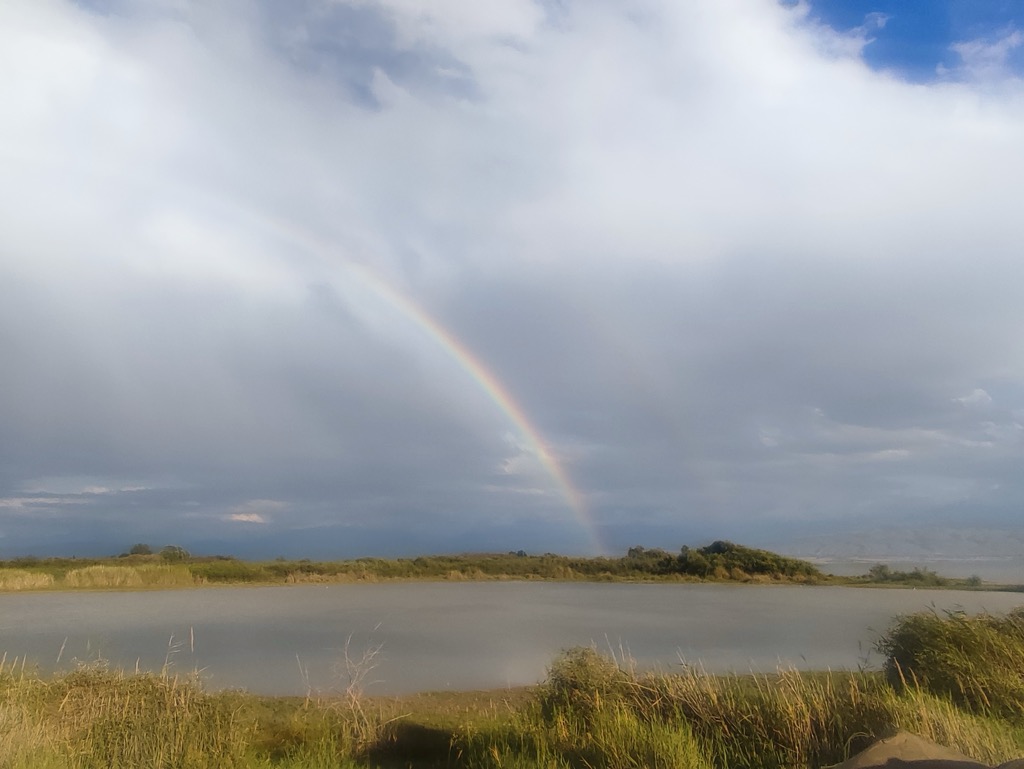
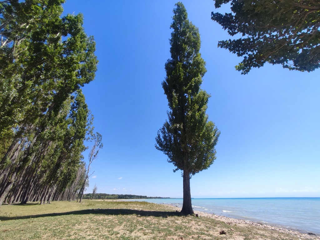
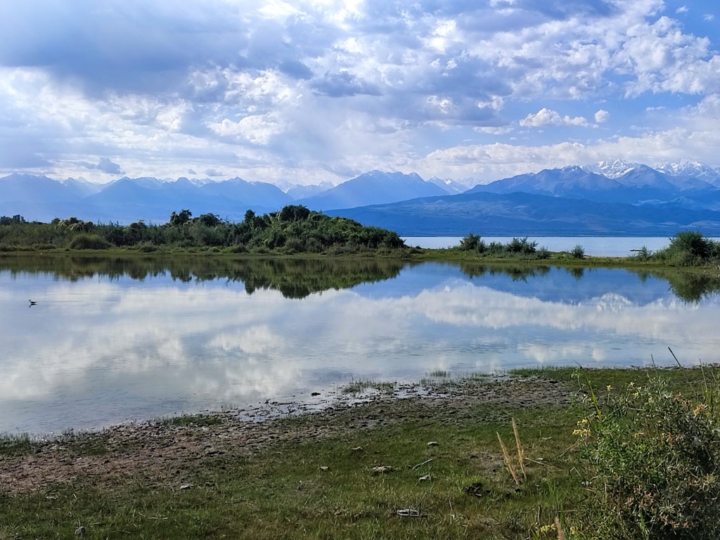
Issyk-Kul (Russian: Иссык-Куль) or Ysyk-Köl (Kyrgyz: Ысык-Көл, [ɯsɯk kœl], "Warm Lake") is an endorheic (i.e., without outflow) saline lake in the western Tianshan Mountains in eastern Kyrgyzstan, just south of a dividing range separating Kyrgyzstan from Kazakhstan. It is the eighth-deepest lake in the world, the eleventh-largest lake in the world by volume (though not in surface area), the deepest lake whose deepest point is above sea level (939 meters or 3,080 feet), and the third-largest saline lake. Issyk-Kul means "warm lake" in the Kyrgyz language; although it is located at a lofty elevation of 1,607 metres (5,272 ft) and subject to severe cold during winter, it rarely freezes over due to high salinity. The lake is a Ramsar site of globally significant biodiversity and forms part of the Issyk-Kul Biosphere Reserve.
We use GPS information embedded into the photo when it is available.
3D mountains overlay
Adjust mountain panorama to perfectly match your photos because recorded by camera photo position might be imprecise.
Move tool
Rotate tool
Zoom
More customization
Choose which peak labels should make into the final photo and what photo title should be.
Next
Photo Location
Satellitte
Flat map
Relief map
Latitude
Longitude
Altitude
OR
Latitude
°'''
Longitude
°'''
Apply
Register Peak
Peak Name
Latitude
Longitude
Altitude
Register
Teleport
PeakVisor
This 3D model of Sagarmatha National Park in Nepal was made using the PeakVisor app topographic data. The mobile app features higher precision models worldwide, more topographic details, and works offline. Download PeakVisor maps today.
Download OBJ model
PeakVisor
The download should start shortly. If you find it useful please consider supporting the PeakVisor app.
PeakVisor for iOS and Android
Be a superhero of outdoor navigation with state-of-the-art 3D maps and mountain identification in the palm of your hand!