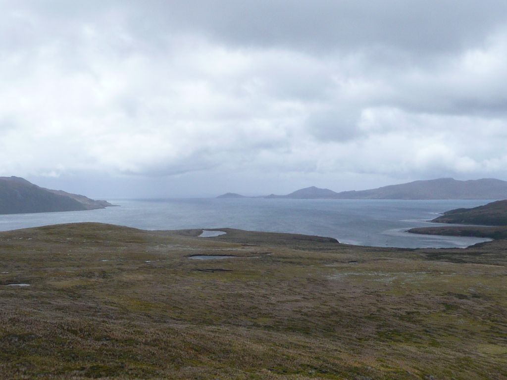
The Hermite Islands (Spanish: Islas Hermite) are the islands Hermite, Herschel, Deceit and Hornos as well as the islets Maxwell, Jerdán, Arrecife, Chanticleer, Hall, Deceit (islet), and Hasse at almost the southernmost end of South America. The smallest and southernmost of the major islands is Hornos Island, the location of Cape Horn. The islands are located south of the Wollaston Islands and separated from them by the Franklin Channel. The islets Terhalten, Sesambre, Evout and Barnevelt are located easterly and are not considered part of the Hermite islands. The southernmost islands of the American continent are the Diego Ramírez Islands, southwest of Cape Horn. South of all these islands is the Drake Passage. The southern tip of Deceit island extends southeastwards through a line of sharp-edged rocks known as Los dientes o garras de Deceit (the Teeth or Claws of Deceit) that end in a rough islet, Islote Deceit. The islands form part of the Cabo de Hornos National Park.
We use GPS information embedded into the photo when it is available.
3D mountains overlay
Adjust mountain panorama to perfectly match your photos because recorded by camera photo position might be imprecise.
Move tool
Rotate tool
Zoom
More customization
Choose which peak labels should make into the final photo and what photo title should be.
Next
Photo Location
Satellitte
Flat map
Relief map
Latitude
Longitude
Altitude
OR
Latitude
°'''
Longitude
°'''
Apply
Register Peak
Peak Name
Latitude
Longitude
Altitude
Register
Teleport
PeakVisor
This 3D model of Sagarmatha National Park in Nepal was made using the PeakVisor app topographic data. The mobile app features higher precision models worldwide, more topographic details, and works offline. Download PeakVisor maps today.
Download OBJ model
PeakVisor
The download should start shortly. If you find it useful please consider supporting the PeakVisor app.
PeakVisor for iOS and Android
Be a superhero of outdoor navigation with state-of-the-art 3D maps and mountain identification in the palm of your hand!


_2.jpg)