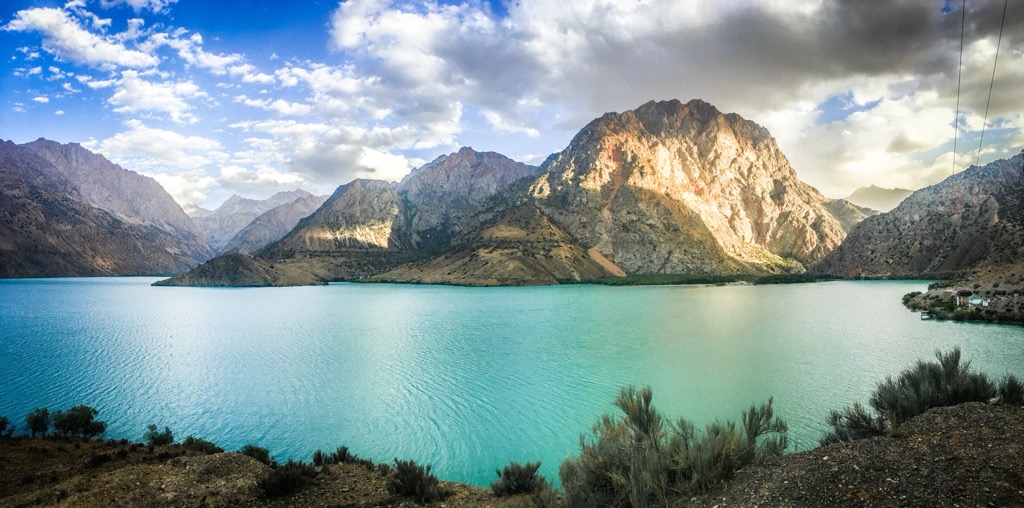
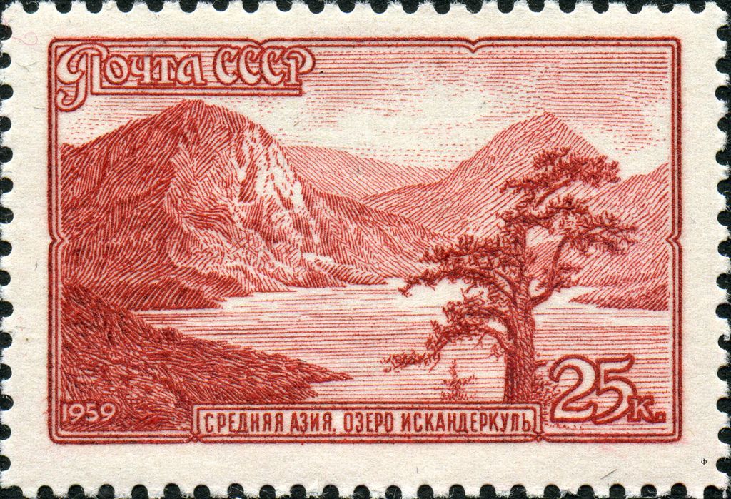
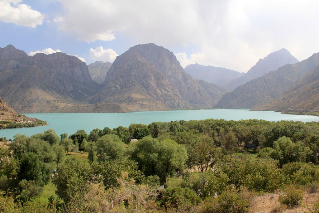
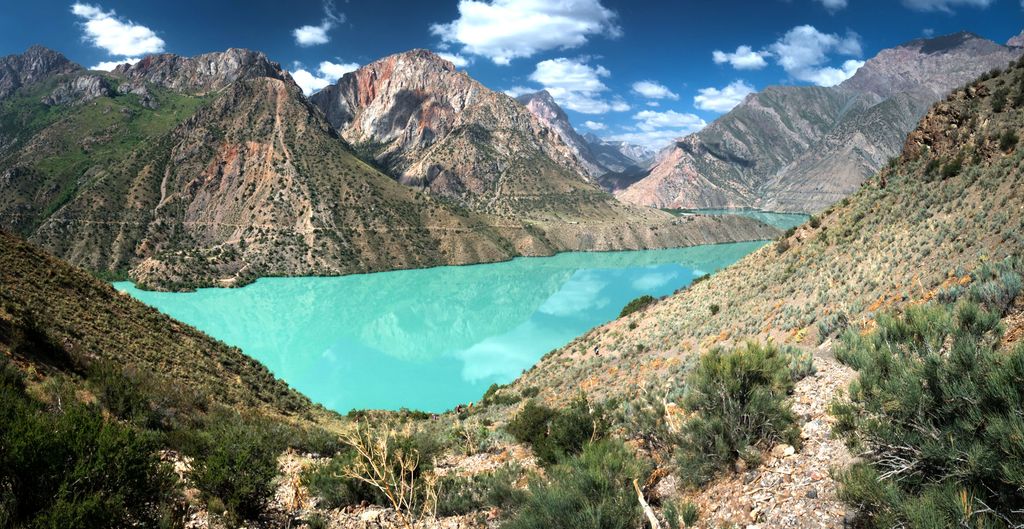
Iskanderkul (Russian: Искандеркуль; Tajik: Искандаркӯл) is a mountain lake of glacial origin in Tajikistan's Sughd Province. It lies at an altitude of 2,195 metres (7,201 ft) on the northern slopes of the Gissar Range in the Fann Mountains. Triangular in shape, it has a surface area of 3.4 square kilometres (1.3 sq mi) and is up to 72 metres (236 ft) deep. Formed by a landslide that blocks the Saratogh river, the outflow of the lake is called the Iskander Darya, which joins the Yaghnob River to form the Fan Darya, a major left tributary of the Zeravshan River. 134 km from Dushanbe and 23 km from the Dushanbe—Khujand road, Iskanderkul is a popular tourist destination. The lake takes its name from Alexander the Great's passage in Tajikistan: Iskander is the Persian pronunciation of Alexander, and kul means lake in many Turkic languages. There are two legends connecting the lake to Alexander. The first one states it used to be a location the inhabitants of which resisted Alexander's rule, and in fury, the king ordered to divert a river and annihilate them. The second legend states that Bucephalus had drowned in the lake.
We use GPS information embedded into the photo when it is available.
3D mountains overlay
Adjust mountain panorama to perfectly match your photos because recorded by camera photo position might be imprecise.
Move tool
Rotate tool
Zoom
More customization
Choose which peak labels should make into the final photo and what photo title should be.
Next
Photo Location
Satellitte
Flat map
Relief map
Latitude
Longitude
Altitude
OR
Latitude
°'''
Longitude
°'''
Apply
Register Peak
Peak Name
Latitude
Longitude
Altitude
Register
Teleport
PeakVisor
This 3D model of Sagarmatha National Park in Nepal was made using the PeakVisor app topographic data. The mobile app features higher precision models worldwide, more topographic details, and works offline. Download PeakVisor maps today.
Download OBJ model
PeakVisor
The download should start shortly. If you find it useful please consider supporting the PeakVisor app.
PeakVisor for iOS and Android
Be a superhero of outdoor navigation with state-of-the-art 3D maps and mountain identification in the palm of your hand!