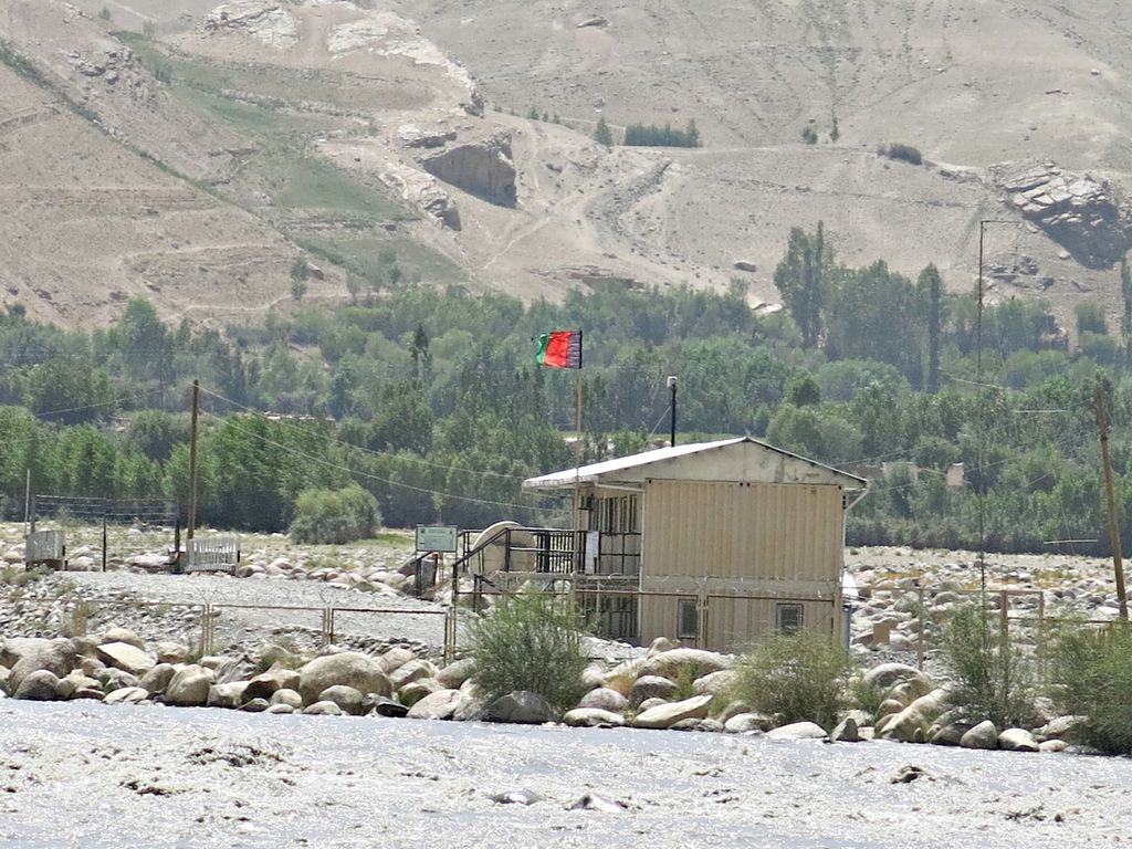
Ishkashim (Dari: اشکاشم; also transliterated Eshkashem or Ashkāsham) is a border town in Badakhshan Province of Afghanistan, which has a population of around 12,120 people. The town serves as the capital of Ishkashim District. Another town by the same name is located on the other side of the Panj River in the Gorno-Badakhshan region of Tajikistan, although that town is normally transliterated Ishkoshim following Tajik practice. A bridge linking the two towns was reconstructed in 2006. Ishkashim lies in a fertile valley at an elevation of 3,037 m (9,964 ft) meters. There are roughly 20 settlements in the valley, but considering the cultivation in the valley is contiguous, it could also be considered a single larger settlement. The valley has only one harvest per year. Wheat and barley are cultivated. Poplar, chinar and maple trees grow as well, but there is little firewood. Ishkashim is connected by road with Fayzabad in the northwest, through the town of Baharak. It is also connected to the towns of Zebak in the southwest and Khandud in the northeast. The valley lies in an important strategic area, as it commands the only route between Fayzabad, Shighnan, and Wakhan accessible during the winter. It has a number of small shops, hotels, guest houses, schools and government buildings, including a base for the Afghan Border Police. Many local and foreign tourists visit the town.
We use GPS information embedded into the photo when it is available.
3D mountains overlay
Adjust mountain panorama to perfectly match your photos because recorded by camera photo position might be imprecise.
Move tool
Rotate tool
Zoom
More customization
Choose which peak labels should make into the final photo and what photo title should be.
Next
Photo Location
Satellitte
Flat map
Relief map
Latitude
Longitude
Altitude
OR
Latitude
°'''
Longitude
°'''
Apply
Register Peak
Peak Name
Latitude
Longitude
Altitude
Register
Teleport
PeakVisor
This 3D model of Sagarmatha National Park in Nepal was made using the PeakVisor app topographic data. The mobile app features higher precision models worldwide, more topographic details, and works offline. Download PeakVisor maps today.
Download OBJ model
PeakVisor
The download should start shortly. If you find it useful please consider supporting the PeakVisor app.
PeakVisor for iOS and Android
Be a superhero of outdoor navigation with state-of-the-art 3D maps and mountain identification in the palm of your hand!