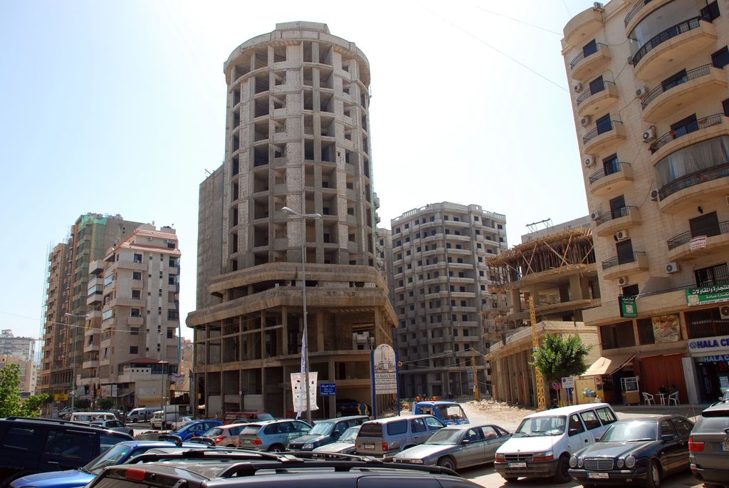
Haret Hreik (Arabic: حارة حريك) is a mixed Shia and Maronite Christian municipality, in the Dahieh suburbs, south of Beirut, Lebanon. It is part of the Baabda District. Once an agricultural village, Haret Hreik lost its rural identity due to the wave of refugees from Southern Lebanon who settled in the town and made it another urban neighborhood of Dahieh. On 3 September 1985, during the War of the Camps, gunmen from the Amal militia killed thirteen Palestinian civilians in Haret Hreik. Haret Hreik is located northeast of the Beirut–Rafic Hariri International Airport and north of the towns of Laylake and Bourj el-Barajneh, west of Hadath and south of Chyah. The town is the headquarters of the Shia group Hezbollah. Israeli warplanes destroyed the headquarters and civilian homes in July 2006.
We use GPS information embedded into the photo when it is available.
3D mountains overlay
Adjust mountain panorama to perfectly match your photos because recorded by camera photo position might be imprecise.
Move tool
Rotate tool
Zoom
More customization
Choose which peak labels should make into the final photo and what photo title should be.
Next
Photo Location
Satellitte
Flat map
Relief map
Latitude
Longitude
Altitude
OR
Latitude
°'''
Longitude
°'''
Apply
Register Peak
Peak Name
Latitude
Longitude
Altitude
Register
Teleport
PeakVisor
This 3D model of Sagarmatha National Park in Nepal was made using the PeakVisor app topographic data. The mobile app features higher precision models worldwide, more topographic details, and works offline. Download PeakVisor maps today.
Download OBJ model
PeakVisor
The download should start shortly. If you find it useful please consider supporting the PeakVisor app.
PeakVisor for iOS and Android
Be a superhero of outdoor navigation with state-of-the-art 3D maps and mountain identification in the palm of your hand!