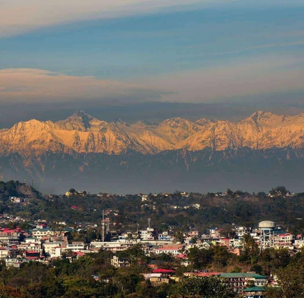
Hamirpur is a town, municipal council and the headquarters of Hamirpur district in the Indian state of Himachal Pradesh. It is covered by Shivalik Ranges. Hamirpur is located in the Lower West Central Outer Himalayas at an average elevation of 790 M above sea level. Far northern High Altitude Dhauladhar Ranges overlook the city. It is also a major junction on National Highway 3 while National Highway 103 starts at Here. Hamirpur is famous for its high literacy rate, educational institutions and traditional festival of Hamir Utsav. Hamirpur City is spread from Jhaniari to Bhota along NH 3 and NH 103 and is a prominent commercial centre for the district. It is Connected to the National Capital with regular HRTC Volvo and ordinary buses. The nearest airport is Kangra Airport and Mohali International Airport while the nearest railway is in Una at 79 km. Hamirpur City is surrounded by Pine tree forests and has a good city infrastructure ranging from quality educational institutions, NIT, State Universities and Skill Learning centres.
We use GPS information embedded into the photo when it is available.
3D mountains overlay
Adjust mountain panorama to perfectly match your photos because recorded by camera photo position might be imprecise.
Move tool
Rotate tool
Zoom
More customization
Choose which peak labels should make into the final photo and what photo title should be.
Next
Photo Location
Satellitte
Flat map
Relief map
Latitude
Longitude
Altitude
OR
Latitude
°'''
Longitude
°'''
Apply
Register Peak
Peak Name
Latitude
Longitude
Altitude
Register
Teleport
PeakVisor
This 3D model of Sagarmatha National Park in Nepal was made using the PeakVisor app topographic data. The mobile app features higher precision models worldwide, more topographic details, and works offline. Download PeakVisor maps today.
Download OBJ model
PeakVisor
The download should start shortly. If you find it useful please consider supporting the PeakVisor app.
PeakVisor for iOS and Android
Be a superhero of outdoor navigation with state-of-the-art 3D maps and mountain identification in the palm of your hand!