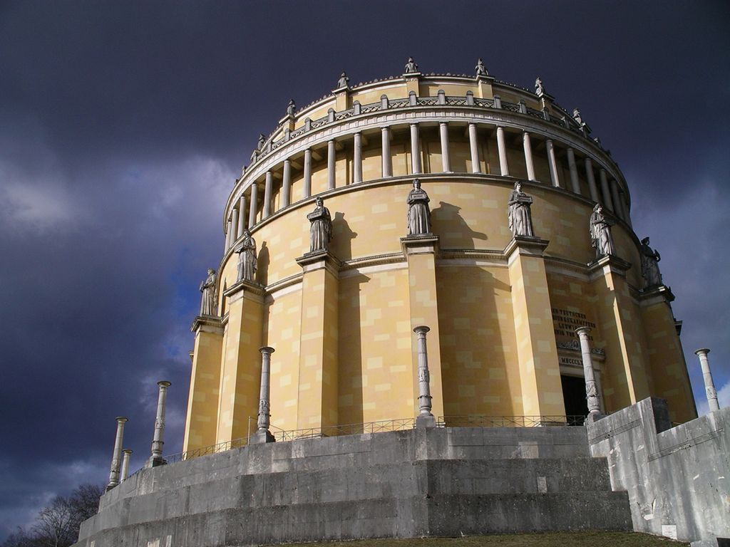
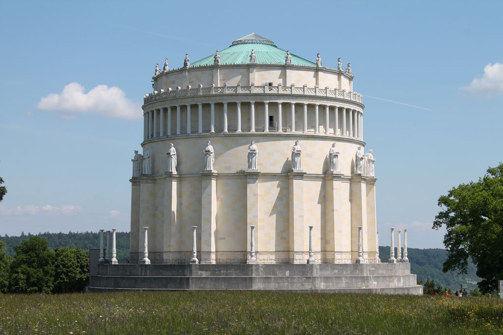
The Befreiungshalle ("Hall of Liberation", German: [bəˈfʀaɪ̯ʊŋsˌhalə]) is a neoclassical monument on the Michelsberg hill above the town of Kelheim in Bavaria, Germany. It stands upstream of Regensburg on the river Danube at the confluence of the Danube and the Altmühl, i.e. the Rhine–Main–Danube Canal. It is just downstream of the Danube Gorge, towering above its lower end. It was commissioned by King Ludwig I of Bavaria to commemorate the victory over Napoleon in the Befreiungskriege of 1813–1815.
We use GPS information embedded into the photo when it is available.
3D mountains overlay
Adjust mountain panorama to perfectly match your photos because recorded by camera photo position might be imprecise.
Move tool
Rotate tool
Zoom
More customization
Choose which peak labels should make into the final photo and what photo title should be.
Next
Photo Location
Satellitte
Flat map
Relief map
Latitude
Longitude
Altitude
OR
Latitude
°'''
Longitude
°'''
Apply
Register Peak
Peak Name
Latitude
Longitude
Altitude
Register
Teleport
PeakVisor
This 3D model of Sagarmatha National Park in Nepal was made using the PeakVisor app topographic data. The mobile app features higher precision models worldwide, more topographic details, and works offline. Download PeakVisor maps today.
Download OBJ model
PeakVisor
The download should start shortly. If you find it useful please consider supporting the PeakVisor app.
PeakVisor for iOS and Android
Be a superhero of outdoor navigation with state-of-the-art 3D maps and mountain identification in the palm of your hand!