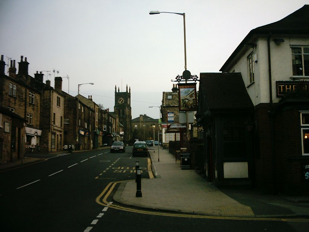
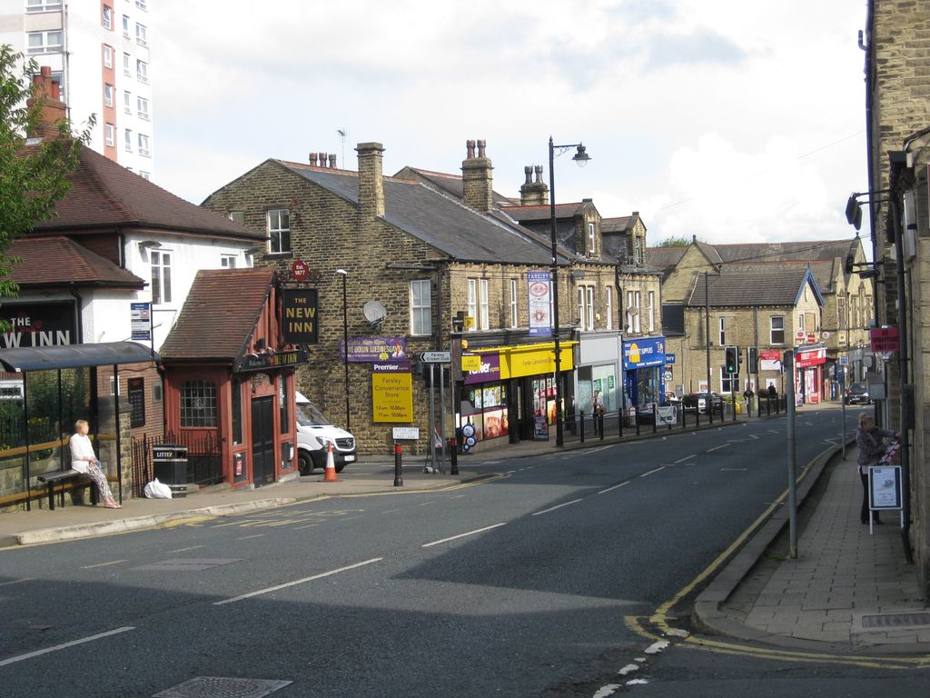
Farsley is a village in the City of Leeds metropolitan borough, West Yorkshire, England, 6 miles (9.7 km) to the west of Leeds city centre, 4 miles (6.4 km) east of Bradford. Farsley is situated between the two cities and near the town of Pudsey. Before April 1974, Farsley was part of the Borough of Pudsey. Before 1934 it was its own urban district council. It had its own council offices opposite the cenotaph, which is now a dental practice. The ward of Calverley and Farsley also includes the estate of Swinnow and some northern parts of Pudsey. During the industrial revolution, Farsley was a centre for wool processing as there were a number of mills in the area. Sunny Bank Mills, still owned by the Gaunt family, is currently part of a huge multi-million revitalisation project bringing a new appreciation of Farsley's mill heritage. Since 2022 the mills have served as the new filming location for series 8 onwards of The Great British Sewing Bee. Farsley is just off the main road between Leeds and Bradford and just off the A6110 Leeds outer ring road. New Pudsey railway station is between Farsley and Pudsey providing train services towards Leeds, Bradford, Manchester Victoria and Blackpool.
Show more
Sun and Moon
Mon
Tue
Wed
Thu
Fri
Sat
Sun
May 2022
Date and time
00:00
06:00
12:00
18:00
Today
--
--
Sunrise
--
Sunset
--
Moonrise
--
Moonset
Phase
🌔 Waxing Gibbous
The perfect light time for beautiful photos:
--
Sunrise
--
Sunset
PeakVisor app
Get the app on your smartphone
New Panorama Tools
Trace location on the map
Measure distances
All the instruments are available in the context menu as well.
We use GPS information embedded into the photo when it is available.
3D mountains overlay
Adjust mountain panorama to perfectly match your photos because recorded by camera photo position might be imprecise.
Move tool
Rotate tool
Zoom
More customization
Choose which peak labels should make into the final photo and what photo title should be.
Next
Photo Location
Satellitte
Flat map
Relief map
Latitude
Longitude
Altitude
OR
Latitude
°'''
Longitude
°'''
Apply
Register Peak
Peak Name
Latitude
Longitude
Altitude
Register
Teleport
PeakVisor
This 3D model of Sagarmatha National Park in Nepal was made using the PeakVisor app topographic data. The mobile app features higher precision models worldwide, more topographic details, and works offline. Download PeakVisor maps today.
Download OBJ model
PeakVisor
The download should start shortly. If you find it useful please consider supporting the PeakVisor app.
PeakVisor for iOS and Android
Be a superhero of outdoor navigation with state-of-the-art 3D maps and mountain identification in the palm of your hand!