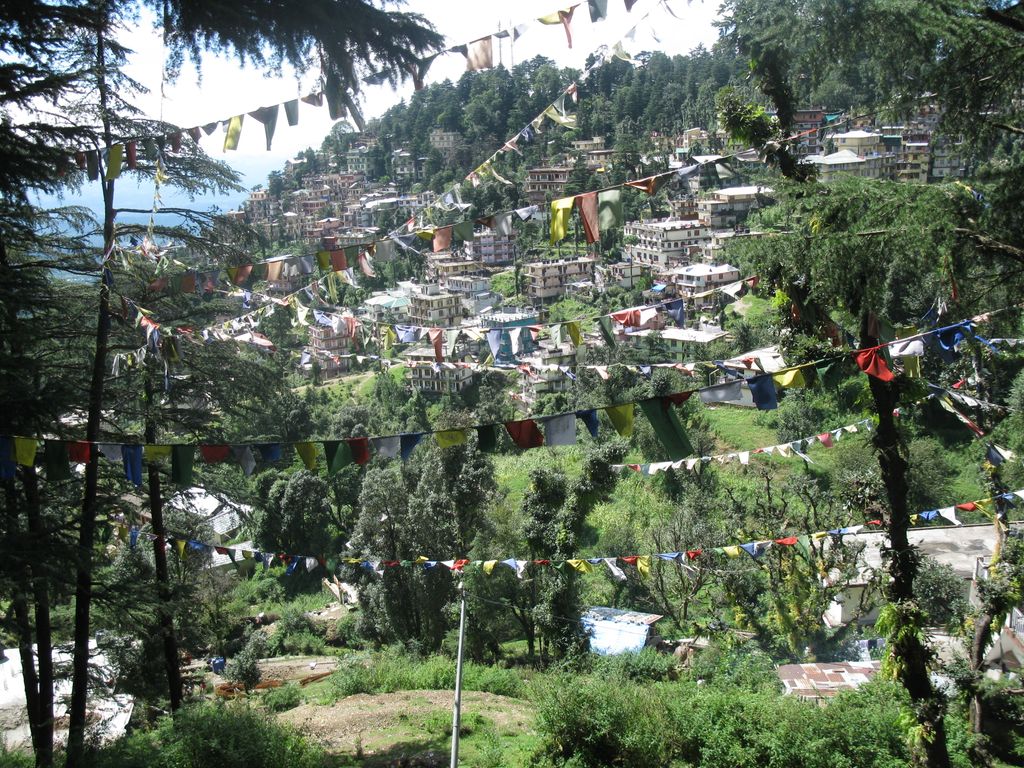
Dharamshala (, Hindi: [d̪ʱərmʃaːlaː]; also spelled Dharamsala) is a town in the Indian state of Himachal Pradesh. It serves as the winter capital of the state and the administrative headquarters of the Kangra district since 1855. The town also hosts the Tibetan Government-in-exile. Dharamshala was a municipal council until 2015, when it was upgraded to a municipal corporation. The town is located in the Kangra Valley, in the shadow of the Dhauladhar range of the Himalayas at an altitude of 1,457 metres (4,780 ft). References to Dharamshala and its surrounding areas are found in ancient Hindu scriptures such as Rig Veda and Mahabharata. The region was under Mughal influence before it was captured by the Sikh empire in 1785. The East India Company captured the region for the British following the First Anglo-Sikh War of 1846, from when it became part of the British Indian province of the Punjab. Post Indian Independence in 1947, it remained as a small hill station. In 1960, the Central Tibetan Administration was moved to Dharamshala when the 14th Dalai Lama Tenzin Gyatso established the Tibetan administration-in-exile after he had to flee Tibet. The economy of the region is highly dependent on agriculture and tourism. The town is now a major hill station and spiritual center. It has been selected as one of a hundred in India to be developed as a smart city under Indian Prime Minister Narendra Modi's flagship "Smart Cities Mission".
We use GPS information embedded into the photo when it is available.
3D mountains overlay
Adjust mountain panorama to perfectly match your photos because recorded by camera photo position might be imprecise.
Move tool
Rotate tool
Zoom
More customization
Choose which peak labels should make into the final photo and what photo title should be.
Next
Photo Location
Satellitte
Flat map
Relief map
Latitude
Longitude
Altitude
OR
Latitude
°'''
Longitude
°'''
Apply
Register Peak
Peak Name
Latitude
Longitude
Altitude
Register
Teleport
PeakVisor
This 3D model of Sagarmatha National Park in Nepal was made using the PeakVisor app topographic data. The mobile app features higher precision models worldwide, more topographic details, and works offline. Download PeakVisor maps today.
Download OBJ model
PeakVisor
The download should start shortly. If you find it useful please consider supporting the PeakVisor app.
PeakVisor for iOS and Android
Be a superhero of outdoor navigation with state-of-the-art 3D maps and mountain identification in the palm of your hand!