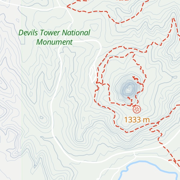
The Old Headquarters Area at Devils Tower National Monument includes three structures and their surroundings, including the old headquarters building, the custodian's house, and the fire hose house. The buildings are all designed in the National Park Service Rustic style. Funded as an Emergency Conservation Works project and built by the Civilian Conservation Corps in 1935, the old administration building was used as the monument's headquarters and museum until 1959. At that time, headquarters was relocated while the building continued its function as the park's primary visitor center. Today the main level of the building serves as the visitor center; the basement level has public restrooms, museum storage, interpreter's office, library, storage for search and rescue and first aid equipment and supplies, and a fuel oil furnace. The upper level, originally designed for use as a bedroom, is now used for storage and houses an evaporative cooler. The custodian's residence was designed by the NPS Landscape Division under the direction of Chief Landscape Architect Thomas Chalmers Vint and constructed in 1931 by a private contractor, a Mr. Cummings of Deadwood, South Dakota. The building first served as the residence of the monument's second custodian, George C. Crowe. The original structure had five rooms: living room, bedroom, breakfast nook kitchen, and bathroom. Designed by the Architect Edward A. Nickel, NPS Branch of Plans and Design, and executed by the Civilian Conservation Corps (Camp NM-1, 6th Period), the fire hose house was constructed as ECW Project #17. Work was completed by August 10, 1937, "except for shelves," according to the hand-written note on the architectural plans. The fire hose house was designed and used to house the fire hydrant and to store the monument's hose and fire fighting equipment. It has been used for that purpose since 1937.
We use GPS information embedded into the photo when it is available.
3D mountains overlay
Adjust mountain panorama to perfectly match your photos because recorded by camera photo position might be imprecise.
Move tool
Rotate tool
Zoom
More customization
Choose which peak labels should make into the final photo and what photo title should be.
Next
Photo Location
Coordinates work here too — paste them as 69.72728, 20.61890 and press Enter
Satellitte
Flat map
Relief map
Latitude
Longitude
Altitude
OR
Latitude
°'''
Longitude
°'''
Apply
Register Peak
Peak Name
Latitude
Longitude
Altitude
Register
Teleport
PeakVisor
This 3D model of Sagarmatha National Park in Nepal was made using the PeakVisor app topographic data. The mobile app features higher precision models worldwide, more topographic details, and works offline. Download PeakVisor maps today.
Download OBJ model
PeakVisor
The download should start shortly. If you find it useful please consider supporting the PeakVisor app.
PeakVisor for iOS and Android
Be a superhero of outdoor navigation with state-of-the-art 3D maps and mountain identification in the palm of your hand!