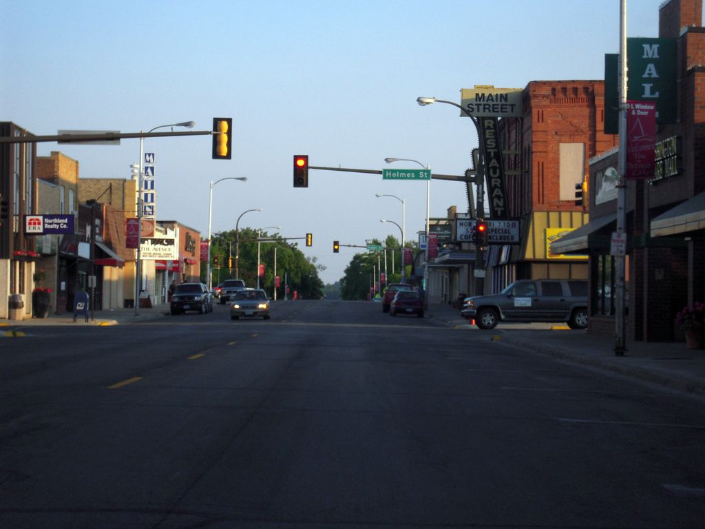
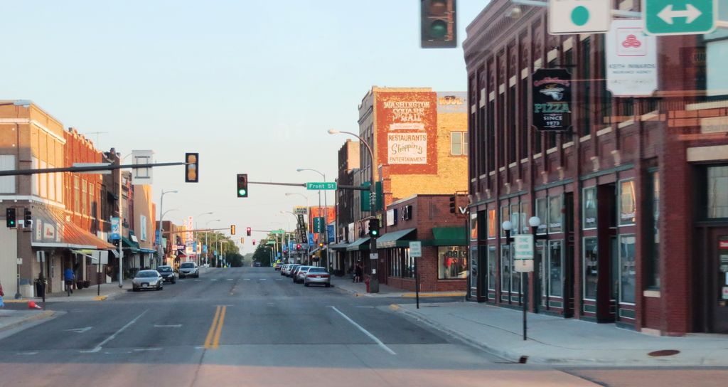
Detroit Lakes is a city and the county seat of Becker County, Minnesota, United States. The population was 9,869 at the 2020 census. Its unofficial population during summer months is much higher, estimated by citizens to peak at 13,000 midsummers, due to seasonal residents and tourists. U.S. Highways 10 and 59, and Minnesota State Highway 34 serve as the primary routes through the city. Detroit Lakes is located 45 miles east of the Fargo–Moorhead ND-MN statistical metropolitan area. The nearest major metropolitan area with a population over 1 million is Minneapolis–Saint Paul, which is approximately 205 miles southeast of Detroit Lakes. Detroit Lakes is a regional summer and winter recreation destination, attracting large numbers of tourists and seasonal residents each year. Its economy is fueled by seasonal population increases, with tourism being the area's chief industry.
Show more
Sun and Moon
Mon
Tue
Wed
Thu
Fri
Sat
Sun
May 2022
Date and time
00:00
06:00
12:00
18:00
Today
--
--
Sunrise
--
Sunset
--
Moonrise
--
Moonset
Phase
🌔 Waxing Gibbous
The perfect light time for beautiful photos:
--
Sunrise
--
Sunset
PeakVisor app
Get the app on your smartphone
New Panorama Tools
Trace location on the map
Measure distances
All the instruments are available in the context menu as well.
We use GPS information embedded into the photo when it is available.
3D mountains overlay
Adjust mountain panorama to perfectly match your photos because recorded by camera photo position might be imprecise.
Move tool
Rotate tool
Zoom
More customization
Choose which peak labels should make into the final photo and what photo title should be.
Next
Photo Location
Satellitte
Flat map
Relief map
Latitude
Longitude
Altitude
OR
Latitude
°'''
Longitude
°'''
Apply
Register Peak
Peak Name
Latitude
Longitude
Altitude
Register
Teleport
PeakVisor
This 3D model of Sagarmatha National Park in Nepal was made using the PeakVisor app topographic data. The mobile app features higher precision models worldwide, more topographic details, and works offline. Download PeakVisor maps today.
Download OBJ model
PeakVisor
The download should start shortly. If you find it useful please consider supporting the PeakVisor app.
PeakVisor for iOS and Android
Be a superhero of outdoor navigation with state-of-the-art 3D maps and mountain identification in the palm of your hand!