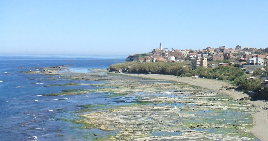
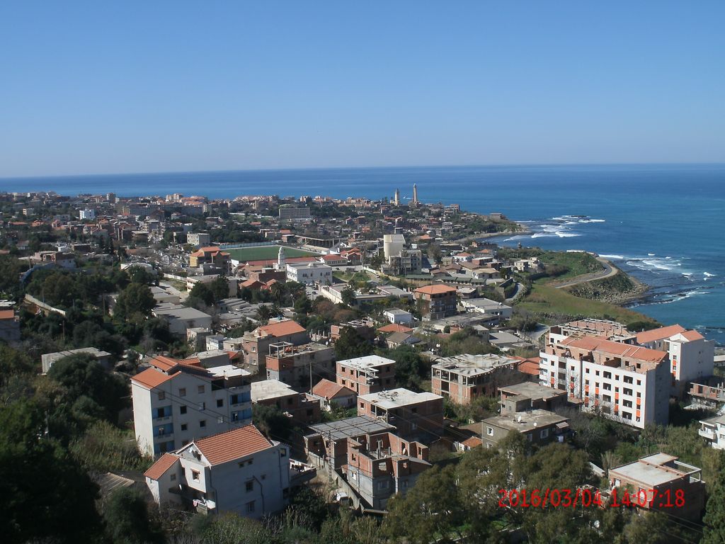
Dellys (Arabic: دلّس, Berber: Delles) is a small Mediterranean town in northern Algeria's coastal Boumerdès Province, almost due north of Tizi-Ouzou and just east of the Sebaou River. It is the district seat of the daïra of Dellys. The town is 45 km from Tizi Ouzou, 50 km from Boumerdes (the provincial capital), and about 100 km from the capital Algiers. It is notable for its Ottoman-era Casbah, two colonial-era lighthouses (marking Cape Bengut), and some beaches; the principal activities of the area are fishing and farming. As of 2008, the population of the municipality is 32,954.
We use GPS information embedded into the photo when it is available.
3D mountains overlay
Adjust mountain panorama to perfectly match your photos because recorded by camera photo position might be imprecise.
Move tool
Rotate tool
Zoom
More customization
Choose which peak labels should make into the final photo and what photo title should be.
Next
Photo Location
Satellitte
Flat map
Relief map
Latitude
Longitude
Altitude
OR
Latitude
°'''
Longitude
°'''
Apply
Register Peak
Peak Name
Latitude
Longitude
Altitude
Register
Teleport
PeakVisor
This 3D model of Sagarmatha National Park in Nepal was made using the PeakVisor app topographic data. The mobile app features higher precision models worldwide, more topographic details, and works offline. Download PeakVisor maps today.
Download OBJ model
PeakVisor
The download should start shortly. If you find it useful please consider supporting the PeakVisor app.
PeakVisor for iOS and Android
Be a superhero of outdoor navigation with state-of-the-art 3D maps and mountain identification in the palm of your hand!