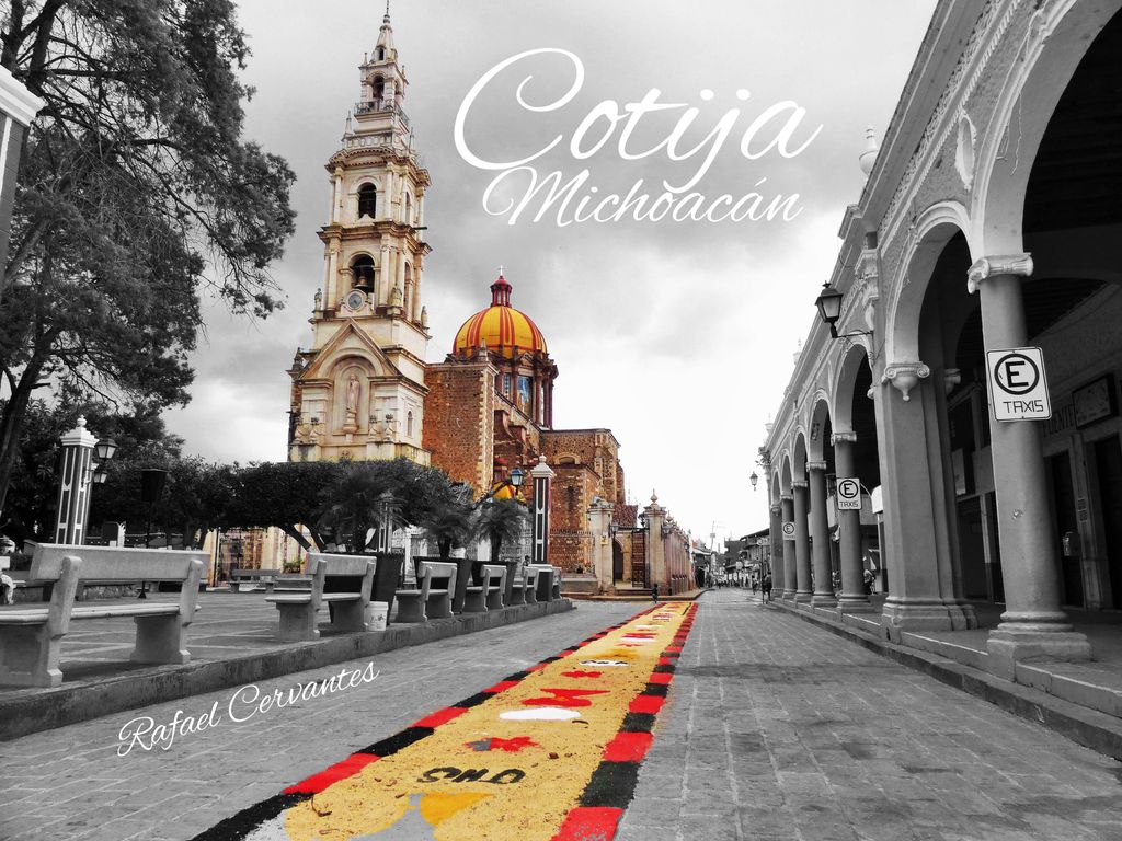
Cotija is a municipality in the Mexican state of Michoacán. The municipality has an area of 504.05 km2 (0.91% of the surface of the state), and is bordered to the north by Jiquilpan and Villamar, to the east by Tocumbo, and to south by the state of Jalisco. The municipality had a population of 18,207 inhabitants according to the 2005 census. Its municipal seat is the city of Cotija de la Paz (pop. 12,453). Cotija is the birthplace of several religious figures, including Saint Rafael Guízar Valencia and Father Marcial Maciel. The economy of the municipality is mostly based on agriculture and ranching. Cotija cheese is named after the city. The municipal president of Cotija and its many outlying communities was José Mendoza Morfín in 2008.
We use GPS information embedded into the photo when it is available.
3D mountains overlay
Adjust mountain panorama to perfectly match your photos because recorded by camera photo position might be imprecise.
Move tool
Rotate tool
Zoom
More customization
Choose which peak labels should make into the final photo and what photo title should be.
Next
Photo Location
Satellitte
Flat map
Relief map
Latitude
Longitude
Altitude
OR
Latitude
°'''
Longitude
°'''
Apply
Register Peak
Peak Name
Latitude
Longitude
Altitude
Register
Teleport
PeakVisor
This 3D model of Sagarmatha National Park in Nepal was made using the PeakVisor app topographic data. The mobile app features higher precision models worldwide, more topographic details, and works offline. Download PeakVisor maps today.
Download OBJ model
PeakVisor
The download should start shortly. If you find it useful please consider supporting the PeakVisor app.
PeakVisor for iOS and Android
Be a superhero of outdoor navigation with state-of-the-art 3D maps and mountain identification in the palm of your hand!


.jpg)