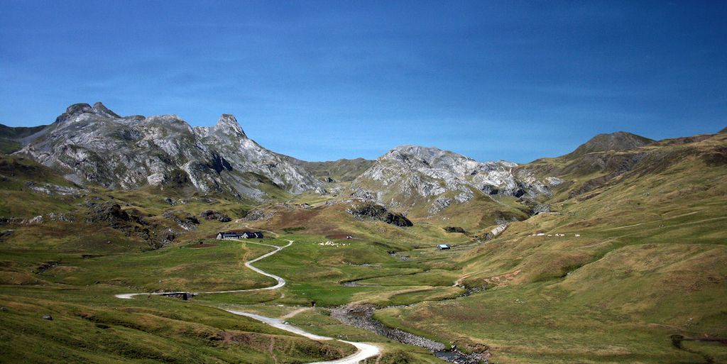
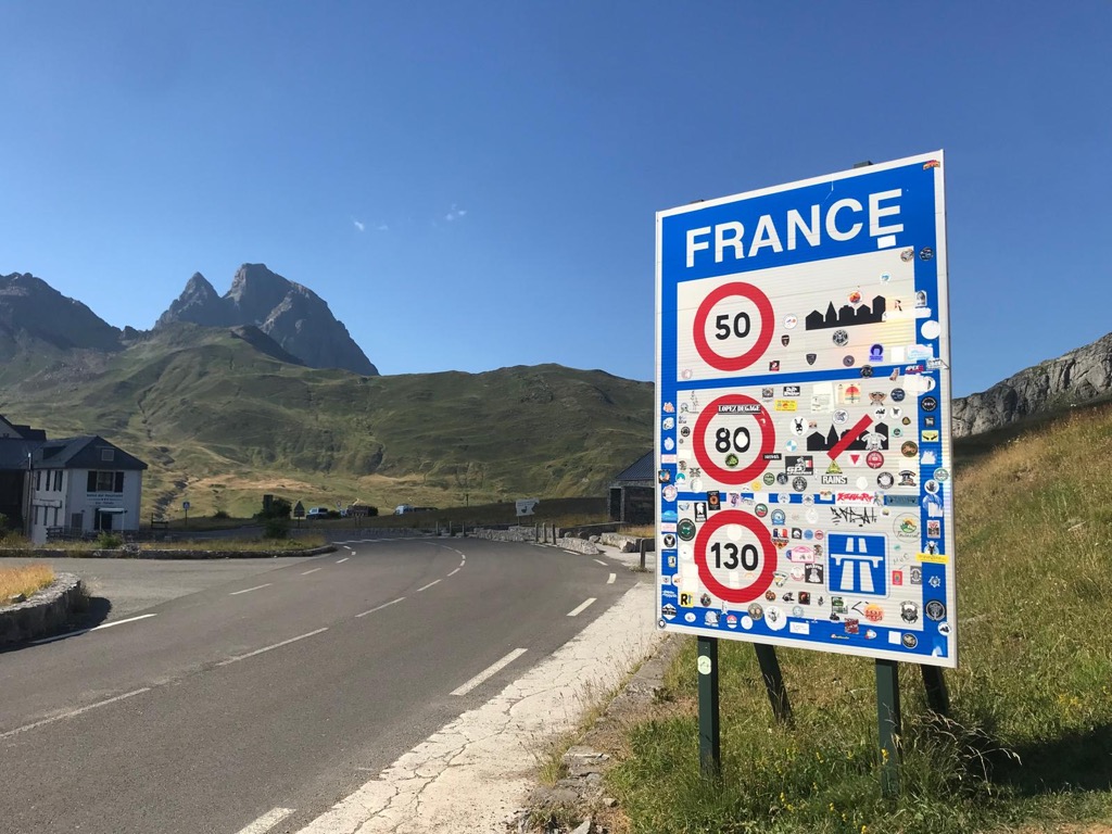
The Col du Pourtalet, El Portalet or Portalet d'Aneu is a mountain pass and border crossing in the Pyrenees, between France and Spain. The pass reaches an elevation of 1,794 m (5,886 ft), and links the Ossau and Tena valleys. The road across the pass is known as the A-136 on the Spanish side, and links to Biescas and Huesca. On the French side the D934 road connects the pass to the towns of Laruns, Oloron-Sainte-Marie and Pau. The pass is kept open in the winter, but in case of heavy snowfall may be closed for a couple of days. Due to the Schengen Agreement, the checkpoint is not currently functional. The French side of the pass falls within the commune of Laruns in the département of Pyrénées-Atlantiques, whilst the Spanish side is within the municipality of Sallent de Gállego within the province of Huesca.
We use GPS information embedded into the photo when it is available.
3D mountains overlay
Adjust mountain panorama to perfectly match your photos because recorded by camera photo position might be imprecise.
Move tool
Rotate tool
Zoom
More customization
Choose which peak labels should make into the final photo and what photo title should be.
Next
Photo Location
Satellitte
Flat map
Relief map
Latitude
Longitude
Altitude
OR
Latitude
°'''
Longitude
°'''
Apply
Register Peak
Peak Name
Latitude
Longitude
Altitude
Register
Teleport
PeakVisor
This 3D model of Sagarmatha National Park in Nepal was made using the PeakVisor app topographic data. The mobile app features higher precision models worldwide, more topographic details, and works offline. Download PeakVisor maps today.
Download OBJ model
PeakVisor
The download should start shortly. If you find it useful please consider supporting the PeakVisor app.
PeakVisor for iOS and Android
Be a superhero of outdoor navigation with state-of-the-art 3D maps and mountain identification in the palm of your hand!


.jpg)